Brookhaven in Lincoln County, Mississippi — The American South (East South Central)
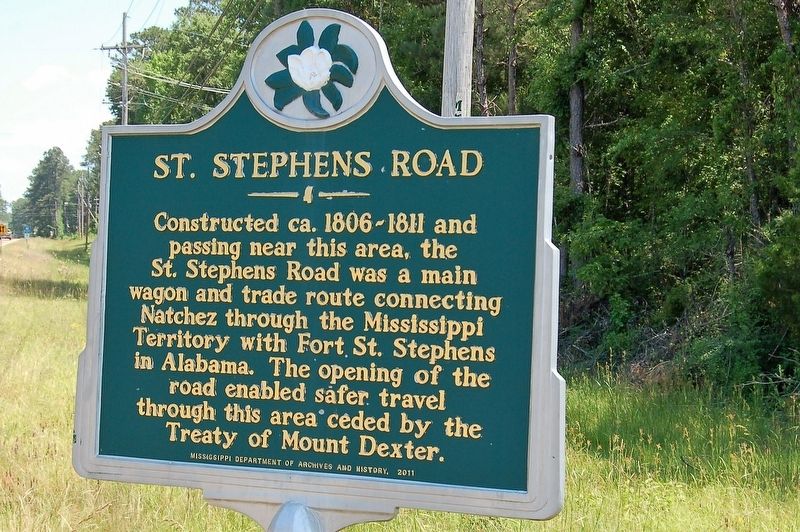
St. Stephens Road
Constructed ca. 1806-1811 and passing near this area, the St. Stephens Road was a main wagon and trade route connecting Natchez through the Mississippi Territory with Fort St. Stephens in Alabama. The opening of the road enabled safer travel through this area ceded by the Treaty of Mount Dexter.
Erected 2011 by Mississippi Department of Archives and History.
Topics. This historical marker is listed in this topic list: Roads & Vehicles.
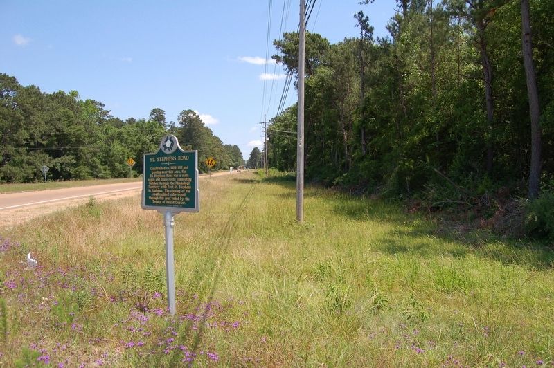
Location. 31° 32.907′ N, 90° 27.506′ W. Marker is in Brookhaven, Mississippi, in Lincoln County. Marker is at the intersection of U.S. 51 and Dale Trail NE, on the right when traveling north on U.S. 51. Touch for map. Marker is at or near this postal address: 348 Dale Trail NE, Brookhaven MS 39601, United States of America. Touch for directions.
Other nearby markers. At least 8 other markers are within 3 miles of this marker, measured as the crow flies. Old Brookhaven (approx. 0.8 miles away); Coffee Pot Inn (approx. 1.6 miles away); Dr. Albert L. Lott (approx. 1.8 miles away); Original King's Daughters Hospital (approx. 2.2 miles away); Temple B'nai Sholom (approx. 2.2 miles away); Brookhaven Light Artillery (approx. 2.2 miles away); Brookhaven Blues: A Tribute (approx. 2.2 miles away); Lampton Auditorium (approx. 2.3 miles away). Touch for a list and map of all markers in Brookhaven.
Credits. This page was last revised on May 13, 2018. It was originally submitted on May 13, 2018, by Cajun Scrambler of Assumption, Louisiana. This page has been viewed 576 times since then and 73 times this year. Photos: 1, 2. submitted on May 13, 2018.

