Carrabelle in Franklin County, Florida — The American South (South Atlantic)
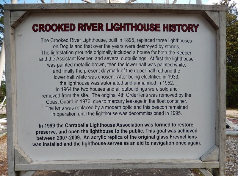
Crooked River Lighthouse History
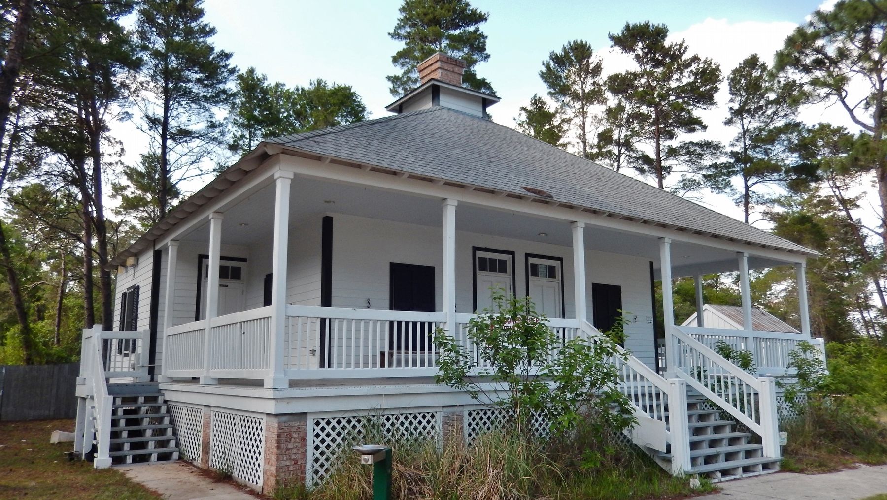
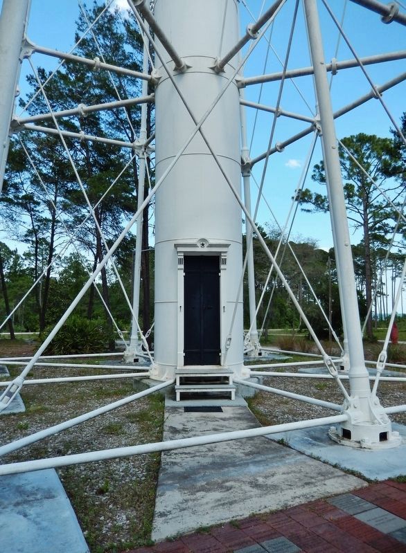
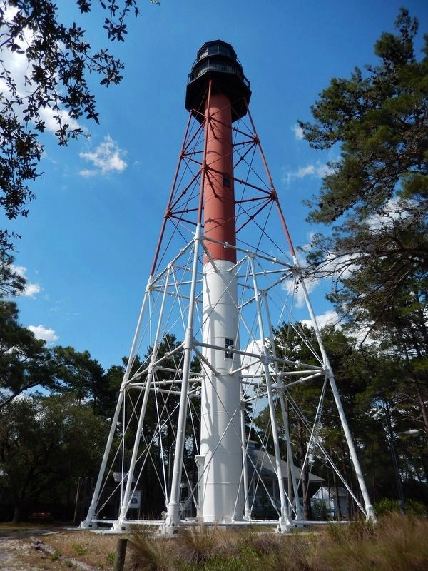
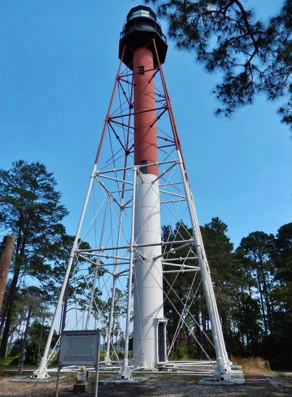
The Crooked River Lighthouse, built in 1895, replaced three lighthouses on Dog Island that over the years were destroyed by storms. The lightstation grounds originally included a house for both the Keeper and the Assistant Keeper, and several outbuildings. At first the lighthouse was painted metallic brown, then the lower half was painted white, and finally the present daymark of the upper half red and the lower half white was chosen. After being electrified in 1933, the lighthouse was automated and unmanned in 1952. In 1964 the two houses and all outbuildings were sold and removed from the site. The original 4th Order lens was removed by the Coast Guard in 1976, due to mercury leakage in the float container. The lens was replaced by a modern optic and this beacon remained in operation until the lighthouse was decommissioned in 1995.
In 1999 the Carrabelle Lighthouse Association was formed to restore, preserve, and open the lighthouse to the public. This goal was achieved between 2007-2009. An acrylic replica of the original glass Fresnel lens was installed and the lighthouse serves as an aid to navigation once again.
Topics and series. This historical marker is listed in these topic lists: Communications • Waterways & Vessels. In addition, it is included in the Lighthouses series list. A significant historical year for this entry is 1895.
Location. 29° 49.638′ N, 84° 42.051′ W. Marker is in Carrabelle, Florida, in Franklin County. Marker can be reached from the intersection of U.S. 98 and Cape Street, on the left when traveling east. Marker is located beside the subject lighthouse, within Crooked River Lighthouse Park, on the north side of the highway. Touch for map. Marker is at or near this postal address: 1975 US Hwy 98 W, Carrabelle FL 32322, United States of America. Touch for directions.
Other nearby markers. At least 8 other markers are within 12 miles of this marker, measured as the crow flies. Camp Gordon Johnston Training Area (approx. half a mile away); World War II D-Day Training Site (approx. half a mile away); The Legend of Tate's Hell (approx. 2.7 miles away); Marvin N. Justiss Building (approx. 2.7 miles away); World's Smallest Police Station (approx. 2.7 miles away); Carabelle Town Center (approx. 2.7 miles away); Camp Gordon Johnston (approx. 7.1 miles away); William Augustus Bowles (approx. 11.4 miles away). Touch for a list and map of all markers in Carrabelle.
More about this marker. Marker is a large, painted, wooden, "billboard-style" panel, in excellent condition.
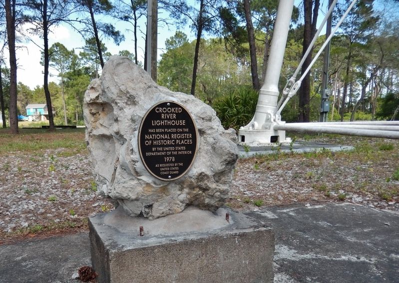
Regarding Crooked River Lighthouse History. National Register of Historic Places (1978)
Also see . . .
1. Carrabelle Celebrates the Crooked River Lighthouse. The tale
begins in 1838 when the first of three Crooked River Lighthouse predecessors was raised on Dog Island to guide mariners into Apalachicola Bay. Hurricanes came and went, sweeping the lighthouse away with them each time. By the end of the 19th century, the lighthouse was relocated to higher and more sheltered ground on the Franklin County mainland. (Submitted on May 15, 2018, by Cosmos Mariner of Cape Canaveral, Florida.)
2. Crooked River Light. The Crooked River Light, also known as the Carrabelle Light, was built in 1895 to replace the Dog Island Light on Dog Island, which had been destroyed in 1875 by a hurricane. The location on the mainland allowed the light to serve as the rear range light for the channel to the west of Dog Island, used by ships in the lumber trade. (Submitted on May 15, 2018, by Cosmos Mariner of Cape Canaveral, Florida.)
Credits. This page was last revised on October 15, 2020. It was originally submitted on May 15, 2018, by Cosmos Mariner of Cape Canaveral, Florida. This page has been viewed 297 times since then and 32 times this year. Photos: 1, 2, 3, 4. submitted on May 15, 2018, by Cosmos Mariner of Cape Canaveral, Florida. 5, 6. submitted on May 21, 2018, by Cosmos Mariner of Cape Canaveral, Florida. 7, 8. submitted on May 15, 2018, by Cosmos Mariner of Cape Canaveral, Florida. • Bernard Fisher was the editor who published this page.
![Crooked River Lighthouse (<i>west side view; marker visible [edge-on] left of lighthouse</i>). Click for full size. Crooked River Lighthouse (<i>west side view; marker visible [edge-on] left of lighthouse</i>) image. Click for full size.](Photos4/426/Photo426494.jpg?5152018111200AM)
