Summit in Pike County, Mississippi — The American South (East South Central)
Grierson's Raid 1863
Photographed by Cajun Scrambler, May 13, 2018
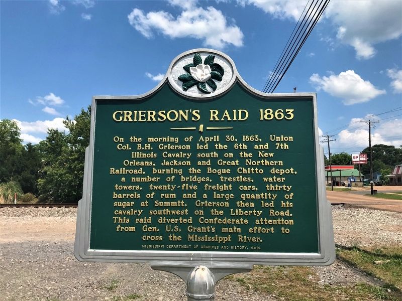
1. Grierson's Raid 1863 Marker
On the morning of April 30, 1863, Union Col. B.H. Grierson led the 6th and 7th Illinois Cavalry south on the New Orleans, Jackson and Greta Northern Railroad, burning the Bogue Chitto depot and a number of bridges, trestles, water towers, twenty-five freight cars, thirty barrels of rum and a large quantity of sugar at Summit. Grierson then led his cavalry southwest on the Liberty Road. This raid diverted Confederate attention from Gen. Grant's main effort to cross the Mississippi River.
Erected 2012 by Mississippi Department of Archives and History.
Topics and series. This historical marker is listed in this topic list: War, US Civil. In addition, it is included in the Mississippi State Historical Marker Program series list. A significant historical date for this entry is April 30, 1863.
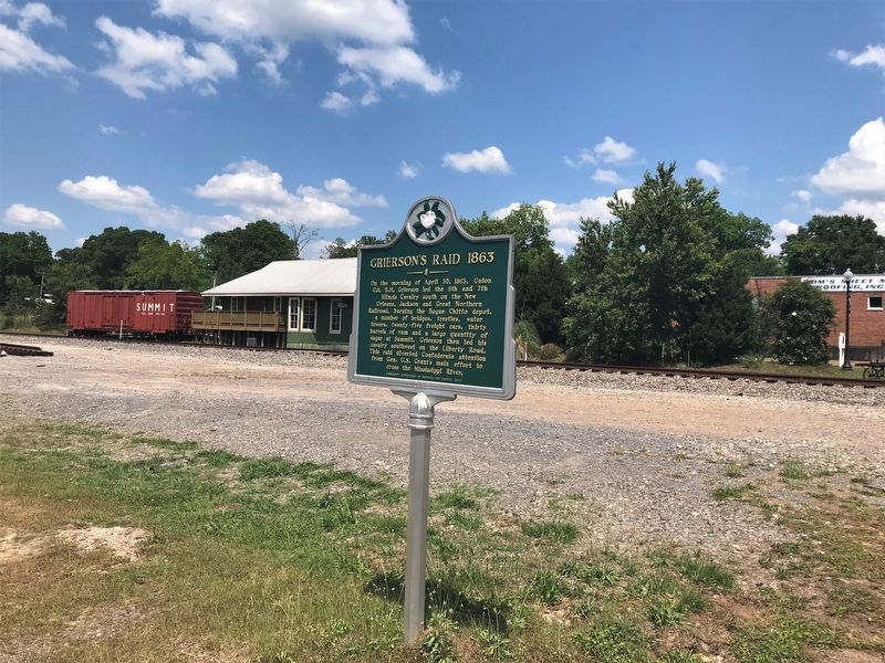
Location. 31° 17.031′ N, 90° 28.02′ W. Marker is in Summit, Mississippi, in Pike County. It is at the intersection of West Railroad Avenue and Robb Street, on the right when traveling north on West Railroad Avenue. Touch for map. Marker is in this post office area: Summit MS 39666, United States of America. Touch for directions.

Regionally,
this page online
Other nearby markers. At least 8 other markers are within 3 miles of this marker, measured as the crow flies: Summit Standpipe (about 400 feet away, measured in a direct line); Charles Carter Memorial Bridge (approx. ¼ mile away); Peabody School (approx. half a mile away); Aylene Quin (approx. 1.7 miles away); Burglund Student Protests (approx. 1.9 miles away); Flowery Mount Missionary Baptist Church (approx. 2 miles away); Burglund Elementary & High School (approx. 2.1 miles away); Summit Street (approx. 2.1 miles away). Touch for a list and map of all markers in Summit.
Related markers. Click here for a list of markers that are related to this marker.
Also see . . . History.net article: Colonel Benjamin Grierson’s Cavalry Raid in 1863.
Photographed by Cajun Scrambler, May 13, 2018
2. Grierson's Raid 1863 Marker
Credits. This page was last revised on November 17, 2024. It was originally submitted on May 19, 2018, by Cajun Scrambler of Assumption, Louisiana. This page has been viewed 913 times since then and 68 times this year. Photos: 1, 2. submitted on May 19, 2018.
