Whitinsville in Worcester County, Massachusetts — The American Northeast (New England)
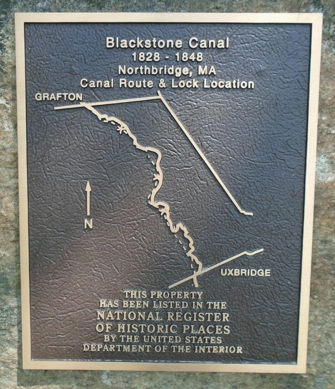
Blackstone Canal
1828 - 1848
Photographed by William Fischer, Jr., May 15, 2018
1. Blackstone Canal NRHP Marker
Canal Route & Lock Location
This property
has been listed in the
National Register
of Historic Places
by the United States
Department of the Interior
Topics. This historical marker is listed in this topic list: Waterways & Vessels.
Location. 42° 7.695′ N, 71° 38.323′ W. Marker is in Whitinsville, Massachusetts, in Worcester County. It is on Church Street Extension half a mile east of Providence Road (Massachusetts Route 122), on the right when traveling east. Touch for map. Marker is at or near this postal address: Larkin Memorial Recreation Area Parking Lot, Whitinsville MA 01588, United States of America. Touch for directions.

Regionally, this marker is in the Quiet Corner, in Greater Worcester, and in the Blackstone Valley. It is also in the American Northeast and in New England. Globally, it is in North America, the Western Hemisphere, the Western World, and the Anglosphere. Historically, it finds itself in what was once one of the original Thirteen Colonies.
Other nearby markers. At least 8 other markers are within 2 miles of
this page online
Also see . . .
1. Blackstone Canal. Wikipedia entry:
Links to National Register of Historic Places Nomination Form (Submitted on March 20, 2025, by Larry Gertner of New York, New York.)
2. Blackstone River Valley National Historical Park. National Park Service website entry (Submitted on May 19, 2018, by William Fischer, Jr. of Reynoldsburg, Ohio.)
3. Blackstone River Valley National Heritage Corridor. National Park Service website entry (Submitted on May 19, 2018, by William Fischer, Jr. of Reynoldsburg, Ohio.)
Photographed by William Fischer, Jr., May 15, 2018
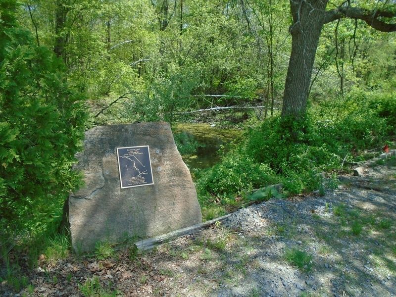
2. Blackstone Canal NRHP Marker
Photographed by William Fischer, Jr., May 15, 2018
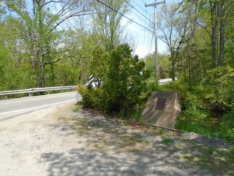
3. Blackstone Canal NRHP Marker
Photographed by William Fischer, Jr., May 15, 2018
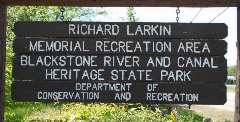
4. Larkin Memorial Recreation Area Sign
Credits. This page was last revised on March 20, 2025. It was originally submitted on May 19, 2018, by William Fischer, Jr. of Reynoldsburg, Ohio. This page has been viewed 543 times since then and 30 times this year. Photos: 1, 2, 3, 4. submitted on May 19, 2018, by William Fischer, Jr. of Reynoldsburg, Ohio.
