Kingsville in Kleberg County, Texas — The American South (West South Central)
Taylor Camp Site, 1846
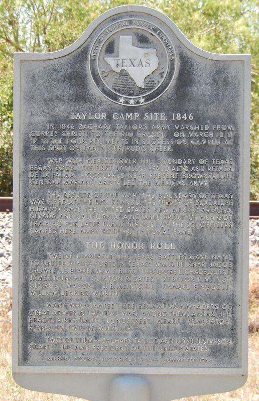
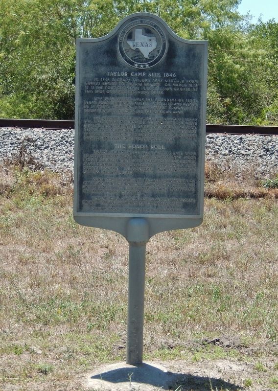
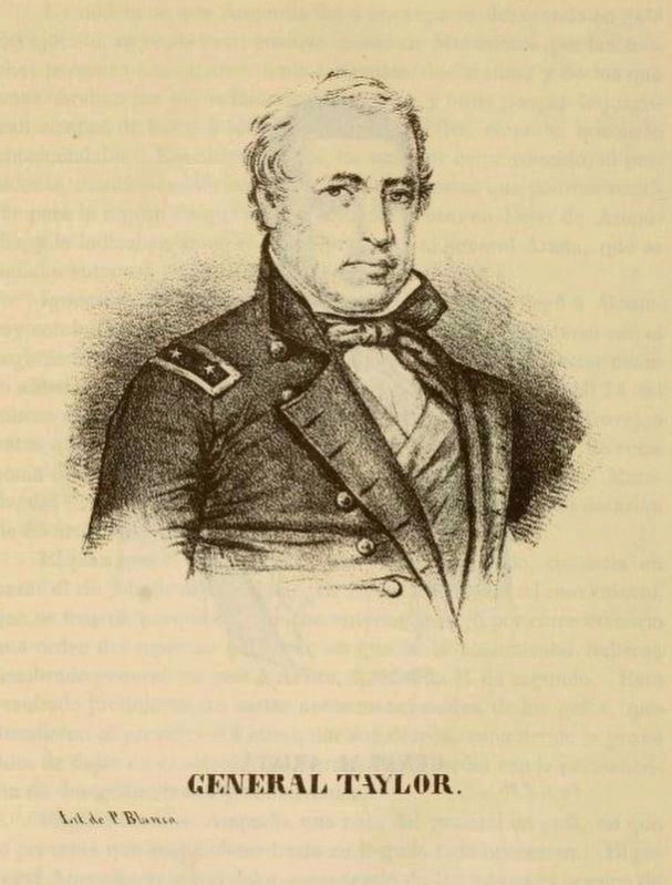
In 1846 Zachary Taylor's army marched from Corpus Christi to the Rio Grande. On March 10, 11, 12, 13, the four regiments in succession camped at this spot on Santa Gertrudis Creek.
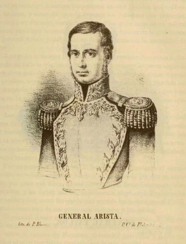
War with Mexico over the boundary of Texas began soon. The first battles-–Palo Alto and Resaca de la Palma–-occurred near present Brownsville. General Mariano Arista led the Mexican army.
The results of the war: the boundary of Texas was fixed at the Rio Grande; the Treaty of Guadalupe Hidalgo gave the United States New Mexico, Arizona, Nevada, and California; a notable group of men got training for later public service. Of the 251 officers camped here, many rose to national fame.
Many who camped here became commanders of great armies in the Civil War. Among them: Angur, Bee, Bragg, Kirby-Smith, Longstreet, Meade, Pemberton, Reynolds, Twiggs, Whistler.
Two of them--Zachary Taylor and Ulysses Simpson Grant--became President of the United States.
Erected 1964 by State Historical Survey Committee & Kleberg County Historical Survey Committee. (Marker Number 5206.)
Topics and series. This historical marker is listed in these topic lists: War, Mexican-American • War, US Civil. In addition, it is included in the Former U.S. Presidents: #12 Zachary Taylor series list. A significant historical month for this entry is March 1846.
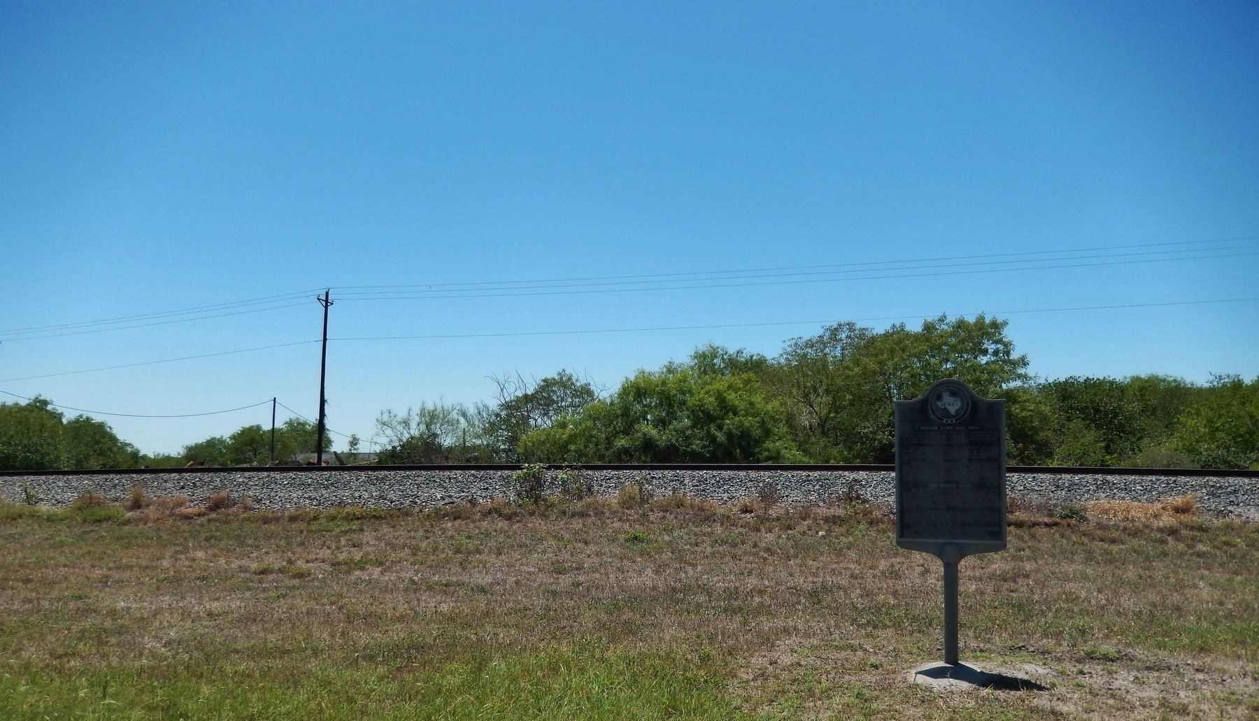
Location. 27° 29.257′ N, 97° 52.077′ W. Marker is in Kingsville, Texas, in Kleberg County. Marker is on South 6th Street (Business U.S. 77) south of Cecil Avenue, on the right when traveling south. Marker is located in a wide grassy area between the highway and the railroad tracks. Touch for map. Marker is at or near this postal address: 111 W General Cavazos Blvd, Kingsville TX 78363, United States of America. Touch for directions.
Other nearby markers. At least 8 other markers are within 2 miles of this marker, measured as the crow flies. First Christian Church (Disciples of Christ) (approx. 1.1 miles away); Dawson Richard Murchison (approx. 1.4 miles away); Chamberlain Cemetery (approx. 1.4 miles away); St. Paul Lutheran Church (approx. 1.6 miles away); King Star Baptist Church (approx. 1.7 miles away); First Baptist Church of Kingsville (approx. 2 miles away); Uriah Lott (approx. 2 miles away); 9/11 Memorial (approx. 2 miles away). Touch for a list and map of all markers in Kingsville.
More about this marker. The marker is significantly weathered and somewhat difficult to read.
Also see . . . Taylor's Trail. Taylor's Trail, the route taken by Gen. Zachary Taylor's army of occupation from the Nueces River to the Rio Grande during the Mexican War, was one of the most important paths of conquest used by an American army on American soil. Composed of nearly 4,000 troops, Taylor's army marched 174 miles in twenty days during March 1846, along a route from Corpus Christi to the bank of the Rio Grande opposite Matamoros. (Submitted on May 19, 2018, by Cosmos Mariner of Cape Canaveral, Florida.)
Credits. This page was last revised on August 27, 2020. It was originally submitted on May 19, 2018, by Cosmos Mariner of Cape Canaveral, Florida. This page has been viewed 524 times since then and 46 times this year. Photos: 1, 2, 3. submitted on May 19, 2018, by Cosmos Mariner of Cape Canaveral, Florida. 4, 5. submitted on May 2, 2020, by J. Makali Bruton of Accra, Ghana. • Bernard Fisher was the editor who published this page.
