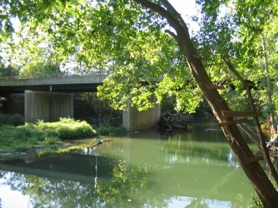
Near Sharpsburg in Washington County, Maryland — The American Northeast (Mid-Atlantic)
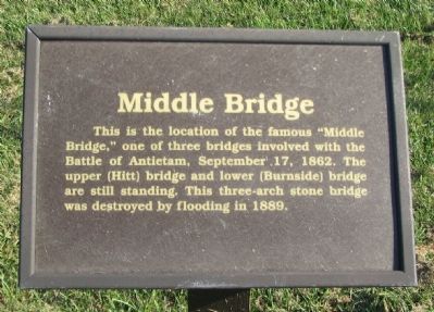
Middle Bridge
Erected by Washington County Historical Advisory Committee.
Topics and series. This historical marker is listed in these topic lists: Bridges & Viaducts • War, US Civil. In addition, it is included in the Maryland, Washington County Historical Advisory Committee series list. A significant historical date for this entry is September 17, 1808.
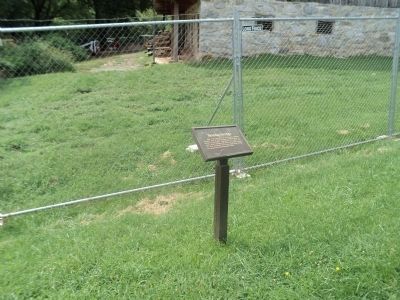
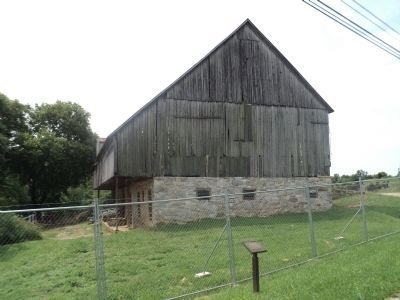
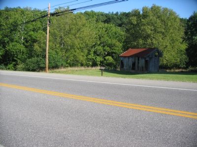
Location. Marker has been reported missing. It was located near 39° 27.872′ N, 77° 43.583′ W. Marker was near Sharpsburg, Maryland, in Washington County. Marker was on Boonsboro Pike (State Highway 34), on the right when traveling east. Located on the west end of the modern Boonsboro Pike bridge. Touch for map. Marker was in this post office area: Sharpsburg MD 21782, United States of America. Touch for directions.
Other nearby markers. At least 8 other markers are within walking distance of this location. 4th and 12th U.S. Infantry (within shouting distance of this marker); The Newcomer House (within shouting distance of this marker); Heart of the Civil War (within shouting distance of this marker); Early's Washington Raid (about 300 feet away, measured in a direct line); Gettysburg Campaign (about 300 feet away); 1862 Antietam Campaign (about 300 feet away); Antietam National Battlefield (about 300 feet away); History or Memory? (about 500 feet away). Touch for a list and map of all markers in Sharpsburg.
Regarding Middle Bridge. Middle Bridge has also been called Porter's Bridge in reference to Major General Fitz John Porter, commanding the Federal V Corps which crossed the Antietam here.
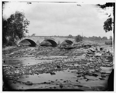
Library of Congress
6. Antietam Bridge on the Sharpsburg-Boonsboro Turnpike - The Middle Bridge
Photograph of the bridge as it appeared during the battle of Antietam, credited to Alexander Gardner. Most likely this image was taken shortly after the battle when Gardner was also collecting some of his most famous photographs. The angle of this photo is difficult to reconcile with other wartime photos and the lay of the land. However, the Library of Congress denotes this bridge as the Middle Bridge where the Boonesboro Pike crossed the creek.
[Civil War photographs, 1861-1865 / compiled by Hirst D. Milhollen and Donald H. Mugridge, Washington, D.C. : Library of Congress, 1977. No. 0128]
[Civil War photographs, 1861-1865 / compiled by Hirst D. Milhollen and Donald H. Mugridge, Washington, D.C. : Library of Congress, 1977. No. 0128]
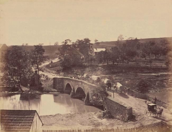
7. Middle Bridge
Another view of the Middle Bridge, this one looking over the bridge to the west (toward the battlefield). Notice the bridge's abutments, with the side closest to the camera having an extension. The Newcomer Barn is just in frame to the left.
[From the Gardner Collection of the National Park Service, sourced through Wikipedia]
[From the Gardner Collection of the National Park Service, sourced through Wikipedia]
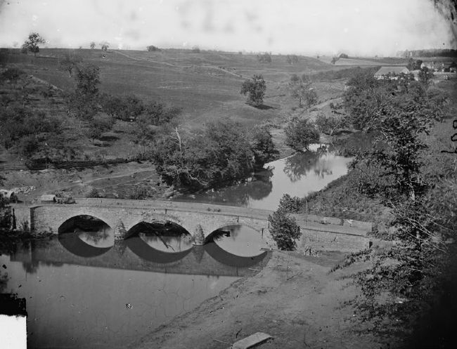
8. The "Antietam Bridge"
This wartime photo of the bridge titled "Antietam Bridge," also appears to show the Middle Bridge, this time looking from the high ridge just east of the crossing point. If the placement of the photographer is correct, this view looks to the northwest toward the area of the modern day Observation Tower on the Sunken Lane. The abutments are similar to those in the photo above, but the photographer carefully kept other placemarks out of frame!
(Civil War photographs, 1861-1865 / compiled by Hirst D. Milhollen and Donald H. Mugridge, Washington, D.C. : Library of Congress, 1977. No. 0129, Call Number LC-B811- 608)
(Civil War photographs, 1861-1865 / compiled by Hirst D. Milhollen and Donald H. Mugridge, Washington, D.C. : Library of Congress, 1977. No. 0129, Call Number LC-B811- 608)
Credits. This page was last revised on June 11, 2018. It was originally submitted on October 28, 2007, by Craig Swain of Leesburg, Virginia. This page has been viewed 2,886 times since then and 95 times this year. Last updated on May 19, 2018, by Shane Oliver of Richmond, Virginia. Photos: 1. submitted on October 28, 2007, by Craig Swain of Leesburg, Virginia. 2, 3. submitted on August 15, 2013, by Bill Coughlin of Woodland Park, New Jersey. 4, 5. submitted on October 28, 2007, by Craig Swain of Leesburg, Virginia. 6. submitted on February 24, 2008, by Craig Swain of Leesburg, Virginia. 7, 8. submitted on December 7, 2008, by Craig Swain of Leesburg, Virginia. • Bill Pfingsten was the editor who published this page.
