Brookhaven in Lincoln County, Mississippi — The American South (East South Central)
Horse & Mule Watering Trough
May 12, 2018
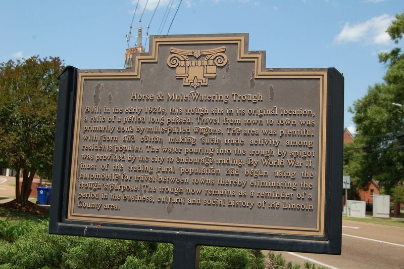
1. Horse & Mule Watering Trough Marker
Built in the early 1920's, this trough sits in its original location, a relic of a period long passed. Travel from town to town was primarily done by mule pulled wagons. The area was plentiful with corn and cotton making such trade activity among residents popular. The water pouring into the trough by spigot was provided by the city to encourage trading. By World War II, most of the trading rural population had begun using the automobile for travel between towns thereby eliminating the trough's purpose. The trough now remains as a reminder of a period in the business, cultural and social history of the Lincoln County area.
Topics. This historical marker is listed in these topic lists: Agriculture • Animals • Industry & Commerce • Settlements & Settlers.
Location. 31° 34.807′ N, 90° 26.677′ W. Marker is in Brookhaven, Mississippi, in Lincoln County. It is at the intersection of West Monticello Street and South Jackson Street, on the right when traveling east on West Monticello Street. Touch for map. Marker is at or near this postal address: 100 S Jackson
this page online

Regionally, this marker is in Southwest Mississippi and in Natchez Trace Corridor. It is also in the American South and specifically in the Deep South. Globally, it is in North America, a Gulf of Mexico state, the Western Hemisphere, the Western World, and the Anglosphere. Historically, it finds itself in what was once the territory of the Mississippian Culture, one of the Confederate States of America, and the Antebellum South.
Other nearby markers. At least 8 other markers are within walking distance of this marker: Whitworth College (about 300 feet away, measured in a direct line); Lampton Auditorium (about 400 feet away); Brookhaven (about 700 feet away); Brookhaven Blues: A Tribute (approx. 0.2 miles away); Temple B'nai Sholom (approx. 0.2 miles away); Original King's Daughters Hospital (approx. 0.2 miles away); Brookhaven Light Artillery (approx. 0.2 miles away); Little Brother Montgomery (approx. 0.3 miles away). Touch for a list and map of all markers in Brookhaven.
May 13, 2018
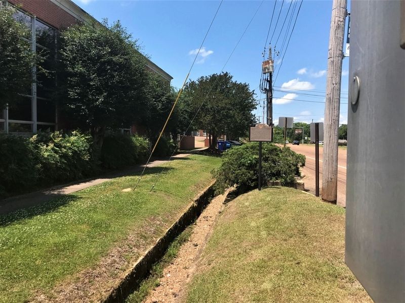
2. Horse & Mule Watering Trough Marker
Credits. This page was last revised on December 16, 2020. It was originally submitted on May 20, 2018, by Cajun Scrambler of Assumption, Louisiana. This page has been viewed 806 times since then and 130 times this year. Photos: 1, 2. submitted on May 20, 2018.
