Lyons in Wayne County, New York — The American Northeast (Mid-Atlantic)
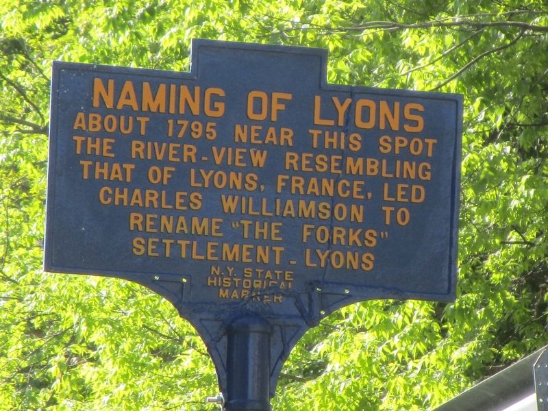
Naming of Lyons
About 1795 near this spot
the river-view resembling
that of Lyons, France, led
Charles Williamson to
rename "The Forks"
settlement - Lyons.
Erected by New York State.
Topics. This historical marker is listed in this topic list: Notable Events. A significant historical year for this entry is 1795.
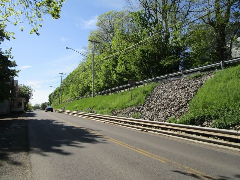
Location. 43° 3.799′ N, 76° 59.835′ W. Marker is in Lyons, New York, in Wayne County. Marker is at the intersection of Water Street and Butternut Street, on the right when traveling west on Water Street. Touch for map. Marker is at or near this postal address: 103 Water Street, Lyons NY 14489, United States of America. Touch for directions.
Other nearby markers. At least 8 other markers are within walking distance of this marker. G. Winston Dobbins Memorial Park (within shouting distance of this marker); H.G. Hotchkiss/Hotchkiss Essential Oils (about 300 feet away, measured in a direct line); Enlarged Erie Canal Lock 55 (about 300 feet away); H.G. Hotchkiss Peppermint Mural (about 300 feet away); H.G. Hotchkiss (about 400 feet away); First School (about 500 feet away); New York State Barge Canal (about 500 feet away); Wayne County Historical Society (about 500 feet away). Touch for a list and map of all markers in Lyons.
Credits. This page was last revised on May 22, 2018. It was originally submitted on May 22, 2018, by Anton Schwarzmueller of Wilson, New York. This page has been viewed 168 times since then and 7 times this year. Photos: 1, 2. submitted on May 22, 2018, by Anton Schwarzmueller of Wilson, New York.

