
Near Athens in McMinn County, Tennessee — The American South (East South Central)
Pushing Toward Knoxville
Union Armies on the Move
Photographed by Joel Seewald, May 5, 2024
1. Pushing Toward Knoxville Marker
Marker is not weathering well.
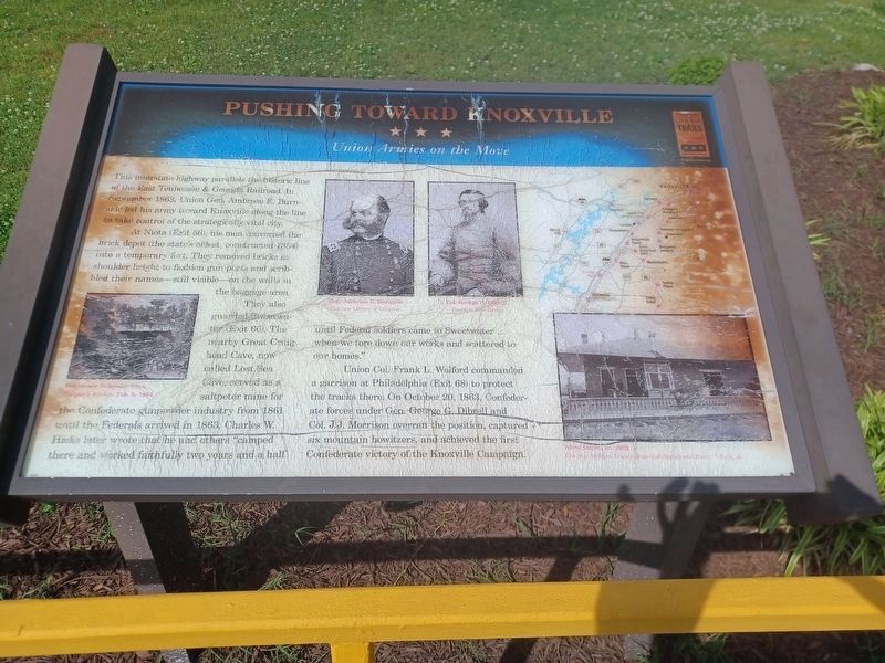
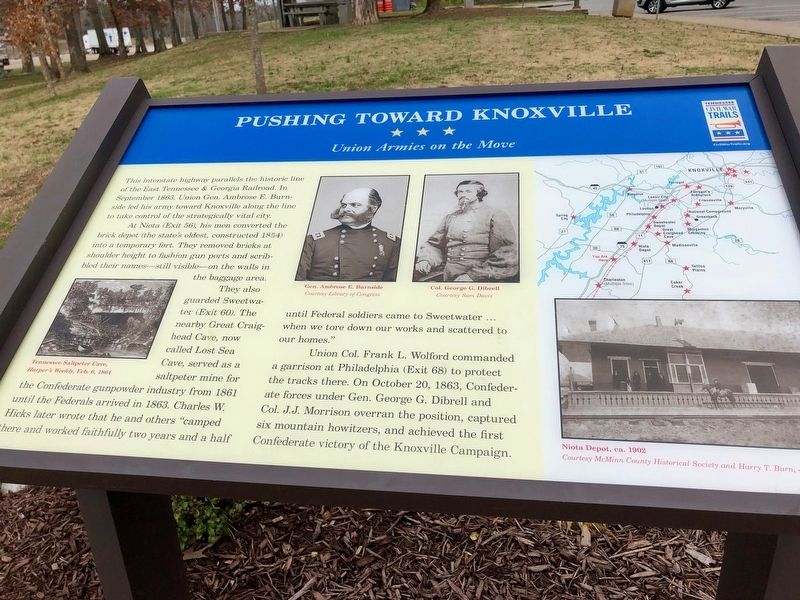
At Niota (Exit 56), his men converted the brick depot (the state's oldest, constructed 1854) into a temporary fort. They removed bricks at shoulder height to fashion gun ports and scribbled their names—still visible—on the walls in the baggage area.
They also guarded Sweetwater (Exit 60). The nearby Great Craighead Cave, now called Lost Sea Cave, served as a saltpeter mine for the Confederate gunpowder industry from 1861 until the Federals arrived in 1863. Charles W. Hicks later wrote that he and others "camped there and worked faithfully two years and a half until the Federal soldier came to Sweetwater ... when we tore down our works and scattered to our homes."
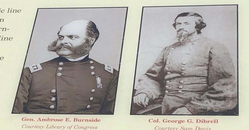
Union Col. Frank L. Wolford commanded a garrison at Philadelphia (Exit 68) to protect the tracks there. On October 20, 1863, Confederate forces under Gen. George G. Dibrell and Col. J. J. Morrison overran the position,
this page online
Erected 2014 by Tennessee Civil War Trails.
Topics and series. This historical marker is listed in this topic list: War, US Civil. In addition, it is included in the Tennessee Civil War Trails series list. A significant historical month for this entry is September 1863.
Location. 35° 25.566′ N, 84° 41.247′ W. Marker is near Athens, Tennessee, in McMinn County. It is on Interstate 75N 3 miles north of Riceville Decatur Road (Tennessee Route 39), on the right when traveling north. Located at the McMinn County Rest Area. Touch for map. Marker is in this post office area: Athens TN 37303, United States of America. Touch for directions.

Regionally, this marker is in East Tennessee. It is also in the American South, specifically in the Upper South, in Appalachia, and specifically in Southern Appalachia. Globally, it is in North America, the Western Hemisphere, the Western World, and the Anglosphere. Historically, it finds itself in what was once the original Cherokee Nation, the territory of the Mississippian Culture, one of the Confederate
Photographed by Sandra Hughes, February 19, 2018
2. Pushing Toward Knoxville Marker
Other nearby markers. At least 8 other markers are within 6 miles of this marker, measured as the crow flies: Road to Chattanooga (approx. ¼ mile away); First United Presbyterian Church (approx. 5.3 miles away); St. Mark A.M.E. Zion, “Free Hill” (approx. 5.3 miles away); Boyd House (approx. 5.4 miles away); McMinn County Jail (approx. 5.4 miles away); Athens Outlet Store (approx. 5.4 miles away); African American Barbers in Athens (approx. 5.4 miles away); Battle of Athens (approx. 5.4 miles away). Touch for a list and map of all markers in Athens.
Photographed by Sandra Hughes, February 19, 2018
3. General Ambrose E Burnside and Col. George G Dibrell
Photographed by Joel Seewald, May 5, 2024
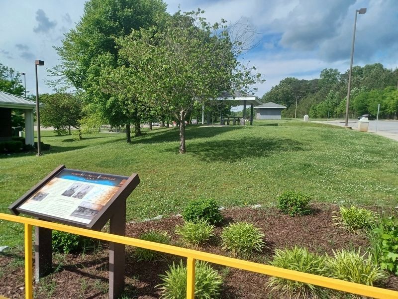
4. Pushing Toward Knoxville Marker
Credits. This page was last revised on November 11, 2024. It was originally submitted on May 26, 2018, by Sandra Hughes Tidwell of Killen, Alabama, USA. This page has been viewed 716 times since then and 18 times this year. Photos: 1. submitted on September 8, 2024, by Joel Seewald of Madison Heights, Michigan. 2, 3. submitted on May 26, 2018, by Sandra Hughes Tidwell of Killen, Alabama, USA. 4. submitted on September 8, 2024, by Joel Seewald of Madison Heights, Michigan. • Bernard Fisher was the editor who published this page.
