Mansfield in Richland County, Ohio — The American Midwest (Great Lakes)
Johnny Appleseed’s Town Lot
Photographed by J. J. Prats, May 26, 2018
1. Johnny Appleseed’s Town Lot Marker
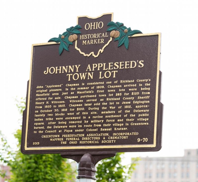
John “Appleseed” Chapman is considered one of Richland County’s original pioneers. In the summer of 1809, Chapman arrived in the Mansfield area just as Mansfield’s first town lots were being offered for sale. Chapman purchased town lot 265 for $120 from Henry H. Wilcoxen. Wilcoxen served as Richland County Sheriff from 1820 to 1825. Chapman later sold the lot to Jesse Edgington on October 30, 1818 for $100.
During the War of 1812, approximately two blocks west of this site, members of the Delaware Indian tribe were encamped in a ravine southwest of the public square. After being removed by military force and their village burned, the Delaware were en route from their village in Greentown to the Council at Piqua under Colonel Samuel Kratzer.
Erected 2013 by Greentown Preservation Association, Incorporated; Wappner Funeral Directors & Crematory; and The Ohio Historical Society. (Marker Number 9-70.)
Topics and series. This historical marker is listed in these topic lists: Horticulture & Forestry • Indigenous Peoples and Communities • Settlements & Settlers. In addition, it is included in
this page online
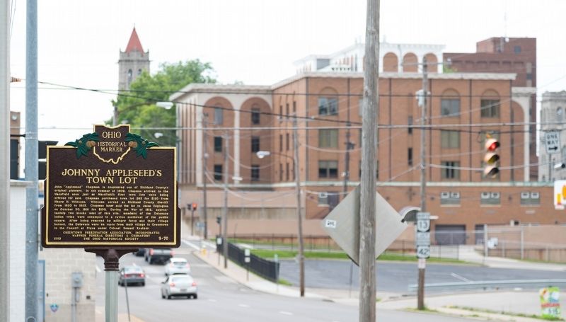
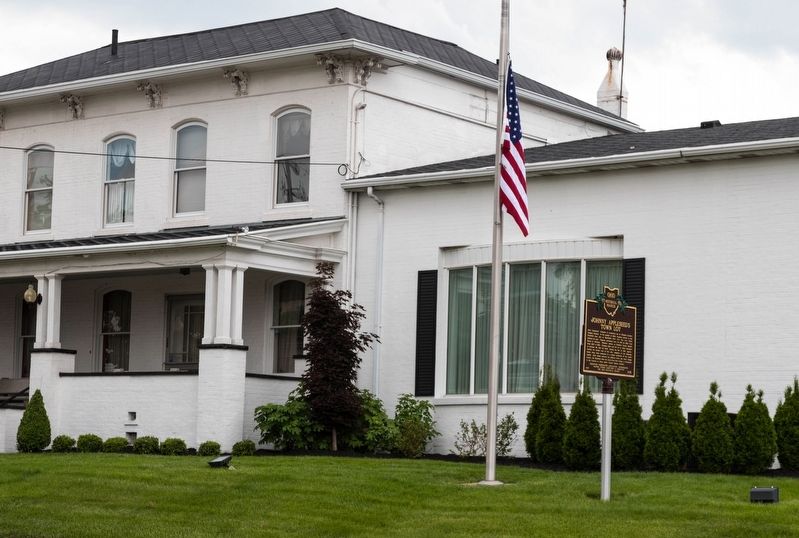
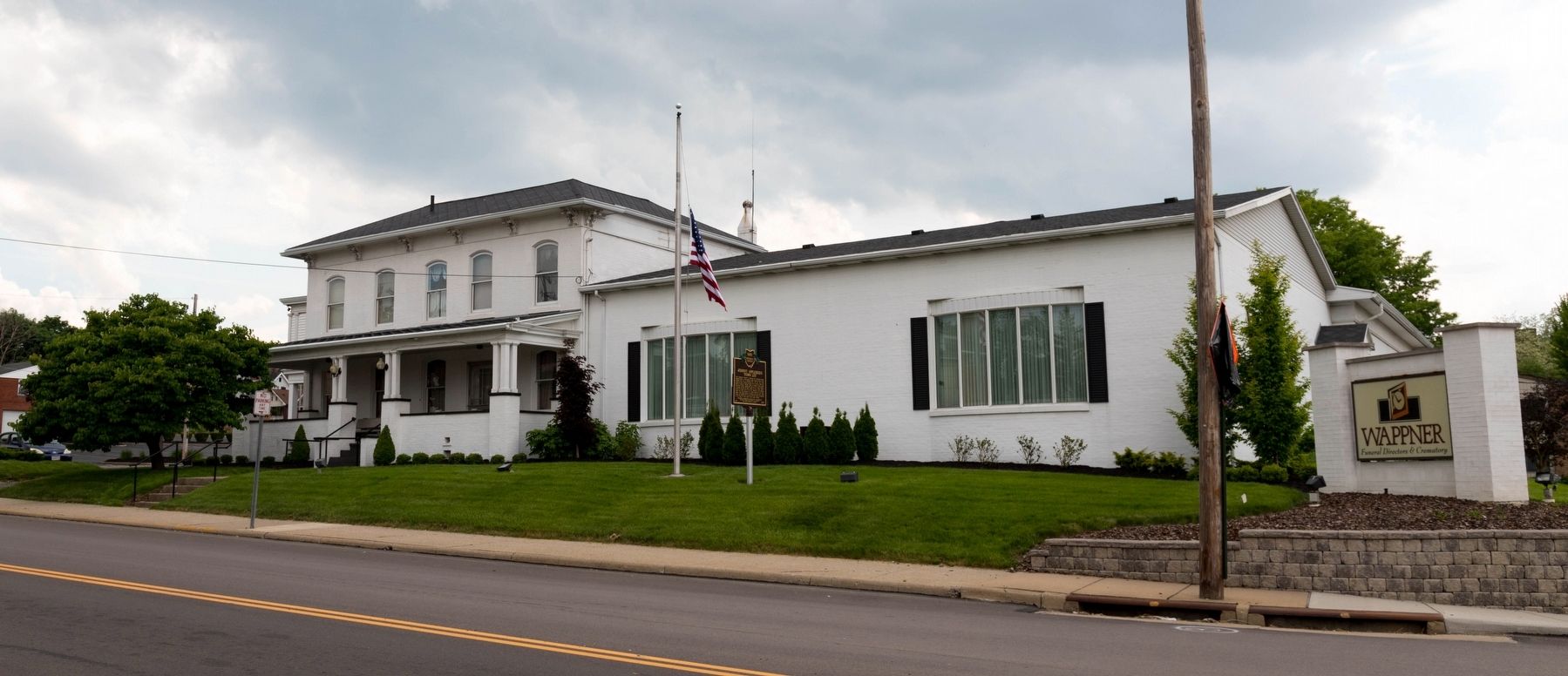
Location. 40° 45.352′ N, 82° 30.866′ W. Marker is in Mansfield, Ohio, in Richland County. It is at the intersection of South Diamond Street and East 1st Street (U.S. 42), on the right when traveling south on South Diamond Street. Touch for map. Marker is at or near this postal address: 98 S Diamond St, Mansfield OH 44902, United States of America. Touch for directions.

Regionally, this marker is in the American Midwest. Globally, it is in North America, the Western Hemisphere, the Western World, and the Anglosphere. Historically, it finds itself in what was once the Haudenosaunee (Iroquois) Confederacy, the territory of the Mississippian Culture, and the Northwest Territory.
Other nearby markers. At least 8 other markers are within walking distance of this marker: Gold Star Families Monument (approx. 0.2 miles away); John Sherman, 1823-1900 / The Sherman Anti-Trust Act (approx. 0.2 miles away); Congressional Medal of Honor Recipients (approx. 0.2 miles away); Richland County Vietnam Veteran's Memorial (approx.
Photographed by J. J. Prats, May 26, 2018
2. Johnny Appleseed’s Town Lot Marker
Also see . . . Johnny Appleseed. Wikipedia entry (Submitted on September 12, 2024, by Larry Gertner of New York, New York.)
Photographed by J. J. Prats, May 26, 2018
3. Johnny Appleseed’s Town Lot Marker
Photographed by J. J. Prats, May 26, 2018
4. Johnny Appleseed’s Town Lot Marker at the Wappner Funeral Home
Credits. This page was last revised on September 15, 2024. It was originally submitted on May 27, 2018, by J. J. Prats of Powell, Ohio. This page has been viewed 913 times since then and 74 times this year. Photos: 1, 2, 3, 4. submitted on May 27, 2018, by J. J. Prats of Powell, Ohio.
