D'Hanis in Medina County, Texas — The American South (West South Central)
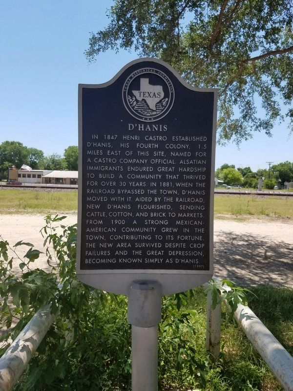
D'Hanis
Erected 1997 by Texas Historical Commission. (Marker Number 12143.)
Topics. This historical marker is listed in these topic lists: Hispanic Americans • Industry & Commerce • Railroads & Streetcars. A significant historical year for this entry is 1847.
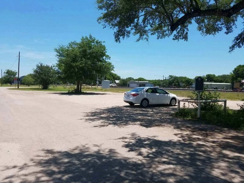
Location. 29° 19.857′ N, 99° 16.835′ W. Marker is in D'Hanis, Texas, in Medina County. Marker is at the intersection of Front Street and Lindsay Avenue, on the right when traveling east on Front Street. Touch for map. Marker is at or near this postal address: Front Street, D Hanis TX 78850, United States of America. Touch for directions.
Other nearby markers. At least 8 other markers are within 7 miles of this marker, measured as the crow flies. J.M. Koch's Hotel (about 400 feet away, measured in a direct line); D'Hanis Brick and Tile Company (approx. 0.3 miles away); Richarz Cemetery (approx. 1.1 miles away); Town of D'Hanis (approx. 1.3 miles away); Site of Saint Dominic Catholic Church and Cemetery (approx. 1.3 miles away); Fort Lincoln (approx. 1.9 miles away); Hondo Army Air Field (approx. 7 miles away); a different marker also named Hondo Army Air Field (approx. 7 miles away). Touch for a list and map of all markers in D'Hanis.
Credits. This page was last revised on May 30, 2018. It was originally submitted on May 27, 2018, by Mike Wintermantel of Pittsburgh, Pennsylvania. This page has been viewed 422 times since then and 36 times this year. Photos: 1, 2. submitted on May 27, 2018, by Mike Wintermantel of Pittsburgh, Pennsylvania.

