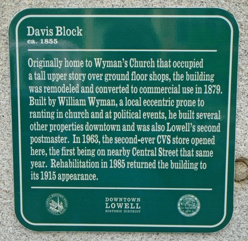
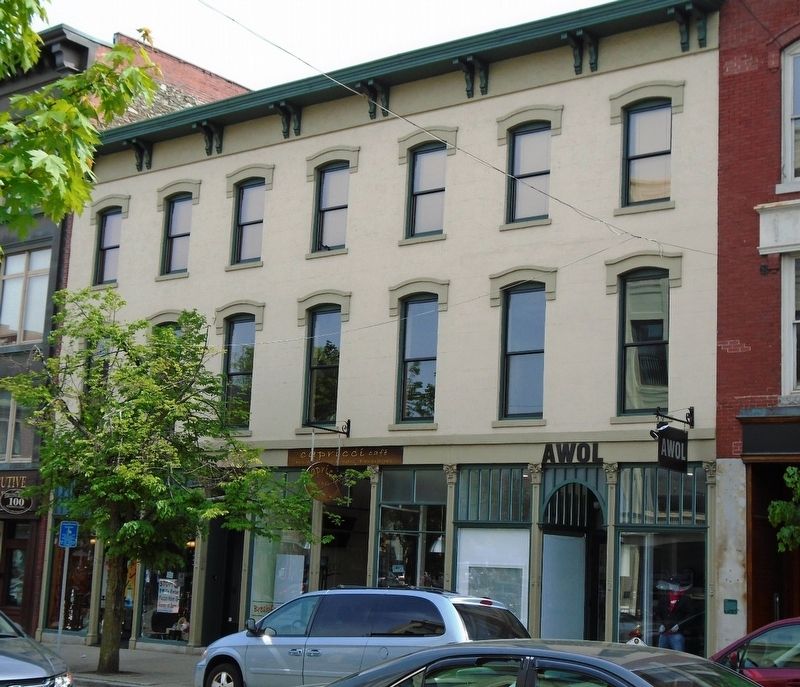
Davis Block
ca. 1855
— Downtown Lowell Historic District —
Originally home to Wyman's Church that occupied a tall upper story over ground floor shops, the building was remodeled and converted to commercial use in 1879. Built by William Wyman, a local eccentric prone to ranting in church and at political events, he built several other properties downtown and was also Lowell's second postmaster. In 1963, the second-ever CVS store opened here, the first being on nearby Central Street that same year. Rehabilitation in 1985 returned the building to its 1915 appearance.
Erected 2016 by City of Lowell and Lowell Historic Board.
Topics. This historical marker is listed in this topic list: Notable Buildings. A significant historical year for this entry is 1879.
Location. 42° 38.734′ N, 71° 18.574′ W. Marker is in Lowell, Massachusetts, in Middlesex County. Marker is at the intersection of Merrimack Street and John Street, on the right when traveling east on Merrimack Street. Touch for map. Marker is at or near this postal address: 104-110 Merrimack Street, Lowell MA 01852, United States of America. Touch for directions.
Other nearby markers. At least 8 other markers are within walking distance of this marker. Cherry and Webb Building (within shouting distance of this marker); Pollard Exchange (within shouting distance of this marker); Simpson and Rowland Building (within shouting distance of this marker); Middlesex Safe Deposit and Trust Company Building
Also see . . .
1. Downtown Lowell Historic District. (Submitted on May 28, 2018, by William Fischer, Jr. of Scranton, Pennsylvania.)
2. Lowell measures buildings in 'stories' (Lowell Sun, 2016). (Submitted on May 28, 2018, by William Fischer, Jr. of Scranton, Pennsylvania.)
Credits. This page was last revised on May 28, 2018. It was originally submitted on May 28, 2018, by William Fischer, Jr. of Scranton, Pennsylvania. This page has been viewed 166 times since then and 12 times this year. Photos: 1, 2. submitted on May 28, 2018, by William Fischer, Jr. of Scranton, Pennsylvania.

