Rockville in Montgomery County, Maryland — The American Northeast (Mid-Atlantic)
Boundary Stone
Photographed by Tom Fuchs, January 7, 2006
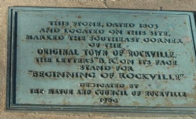
1. Rockville Boundary Stone Marker
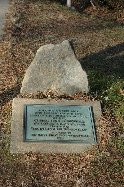
This stone, dated 1803 and located on this site, marked the southeast corner of the original town of Rockville. The letters "B.R." on its face stand for "Beginning of Rockville"
Erected 1960 by Mayor and Council of Rockville.
Topics. This historical marker is listed in these topic lists: Political Subdivisions • Settlements & Settlers. A significant historical year for this entry is 1803.
Location. 39° 4.925′ N, 77° 9.099′ W. Marker is in Rockville, Maryland, in Montgomery County. It is at the intersection of Vinson Street and Maryland Avenue, on the right when traveling west on Vinson Street. Located at Rockville City Hall. Touch for map. Marker is in this post office area: Rockville MD 20850, United States of America. Touch for directions.

Regionally, this marker is in the Washington Metropolitan Area. It is also in the American Mid-Atlantic. Globally, it is in North America, the Western Hemisphere, the Western World, and the Anglosphere. Historically, it finds itself in what was once one of the original Thirteen Colonies and also the Antebellum South.
Other nearby markers. At least 8 other markers
this page online
Other markers no longer nearby. 1803 Plan of Rockville and Boundary Stone (was here, next to this marker but has been replaced with another marker now near it); a different marker also named Montgomery County Jail (was about 300 feet away, measured in a direct line but has been replaced with another marker now near it); a different marker also named Christ Episcopal Church (was about 400 feet away but has been replaced with another marker now near it); a different marker also named Christ Episcopal Church (was about 400 feet away but has been replaced
Photographed by Tom Fuchs, January 7, 2006
2. Boundary Stone and Marker
Photographed by Allen C. Browne, May 27, 2018
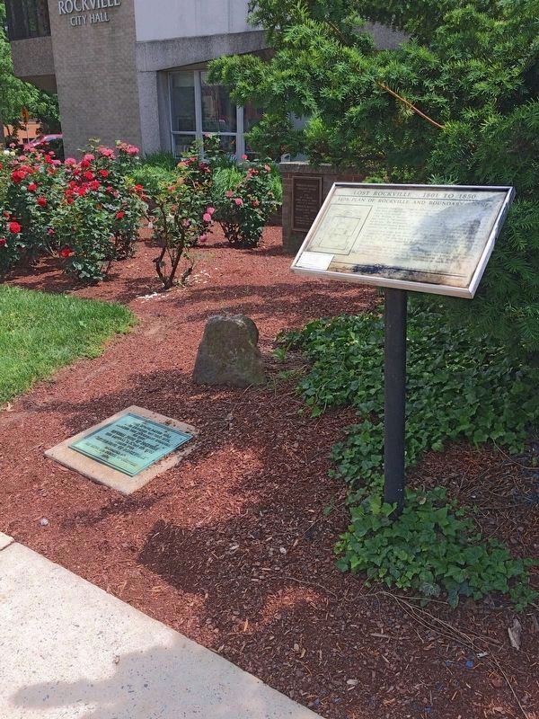
3. Boundary Stone and Markers
The stone and markers have been re-arranged in the Pinneberg-Rockville Rose Garden at Rockville City Hall.
Photographed by Allen C. Browne, May 27, 2018
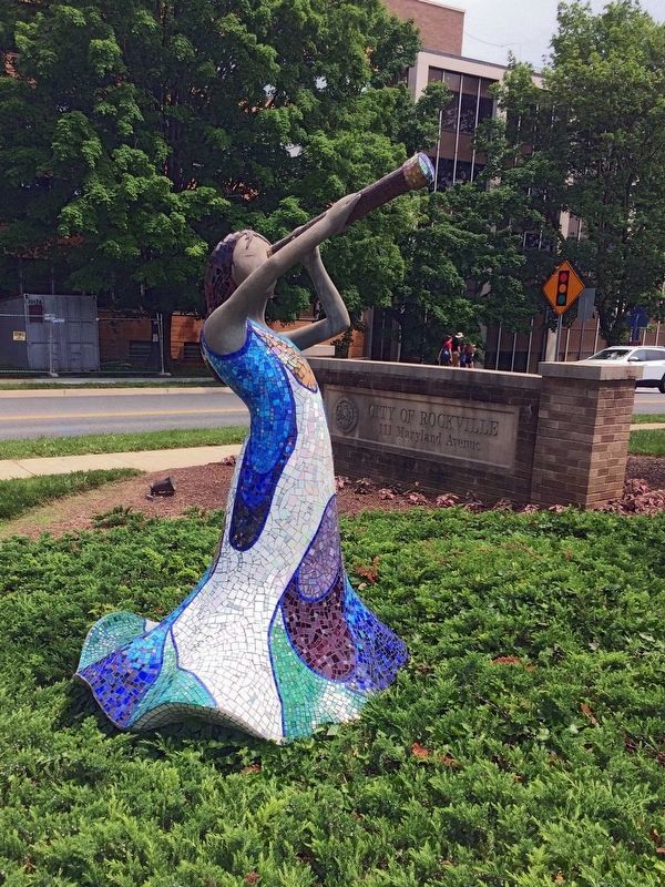
4. Spirit of Discovery
A sculpture of a young girl looking up at a nebula mosaic (on front of City Hall - not shown) through a telescope by Bonnie Fitzgerald & Ali Mirsky, 2010.
Photographed by Allen C. Browne, May 27, 2018
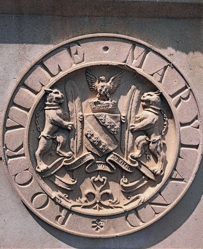
5. Rockville Maryland — Founded on a Rock
Via Rockville, unknown
6. Rockville History
City website entry:
Links to three walking tours
Click for more information.
Click for more information.
Credits. This page was last revised on May 3, 2023. It was originally submitted on January 11, 2006, by Tom Fuchs of Greenbelt, Maryland. This page has been viewed 63,566 times since then and 50 times this year. Last updated on May 28, 2018, by Allen C. Browne of Silver Spring, Maryland. Photos: 1, 2. submitted on January 11, 2006, by Tom Fuchs of Greenbelt, Maryland. 3, 4, 5. submitted on May 28, 2018, by Allen C. Browne of Silver Spring, Maryland. 6. submitted on May 3, 2023, by Larry Gertner of New York, New York. • J. J. Prats was the editor who published this page.
