Blessington in County Wicklow, Leinster, Ireland — Mid-East (and Dublin)
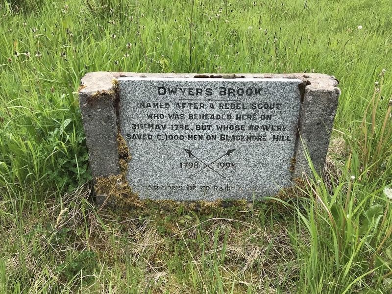
Dwyer's Brook
1798 - 1998
Photographed by Jamie Cox, May 27, 2018
1. Dwyer's Brook Marker

Named after a rebel scout who was beheaded here on 31st May 1798, but whose bravery saved c. 1000 men on Blackmore Hill.
Erected 1998.
Topics. This historical marker is listed in this topic list: Wars, Non-US. A significant historical date for this entry is May 31, 1798.
Location. 53° 9.474′ N, 6° 30.754′ W. Marker is in Blessington, Leinster, in County Wicklow. It can be reached from Lake Drive, on the left when traveling south. Touch for map. Touch for directions.

Regionally, this marker is in the Ancient East. Globally, it is on the Atlantic Ocean, in the North Atlantic Region, in Europe, on the Island of Ireland, on the Celtic Fringe, in the European Union, in Atlantic Europe, on one of the British Isles, in the Western World, and in the Anglosphere.
Other nearby markers. At least 8 other markers are within 21 kilometers of this marker, measured as the crow flies: Clocha an Phiobaíre / Piper's Stones (approx. 11.7 kilometers away); Mianach Hero agus Urláir Chóireála / Hero Mine and Dressing Floors (approx. 18 kilometers away); Celbridge Abbey
this page online
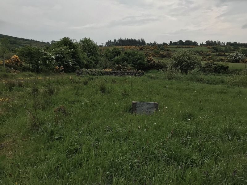
More about this marker. The marker is located at a closed, disused rest area pull-off on the uphill side of the road.
Photographed by Jamie Cox, May 27, 2018
2. Dwyer's Brook Marker
Credits. This page was last revised on December 7, 2021. It was originally submitted on May 29, 2018, by Jamie Cox of Melbourne, Florida. This page has been viewed 293 times since then and 17 times this year. Photos: 1, 2. submitted on May 29, 2018, by Jamie Cox of Melbourne, Florida. • Andrew Ruppenstein was the editor who published this page.
