Lorman in Jefferson County, Mississippi — The American South (East South Central)
Coleman's Crossroads
May 28, 2018
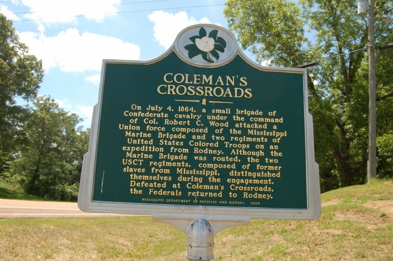
1. Coleman's Crossroads Marker
On July 4, 1864, a small brigade of Confederate cavalry under the command of Col. Robert C. Wood attacked a Union force composed of the Mississippi Marine Brigade and two regiments of United States Colored Troops on an expedition from Rodney. Although the Marine Brigade was routed, the two USCT regiments, composed of former slaves from Mississippi, distinguished themselves during the engagement. Defeated at Coleman's Crossroads, the Federals returned to Rodney.
Erected 2009 by Mississippi Department of Archives and History.
Topics. This historical marker is listed in this topic list: War, US Civil. A significant historical date for this entry is July 4, 1864.
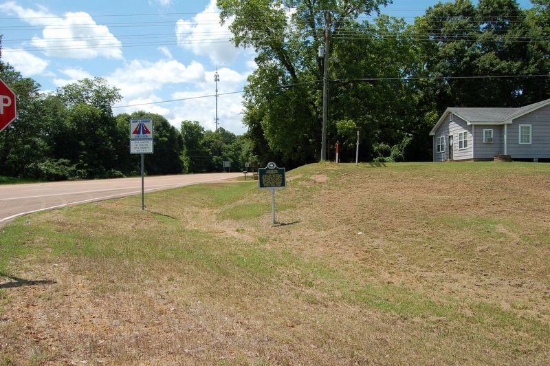
Location. 31° 50.108′ N, 91° 2.689′ W. Marker is in Lorman, Mississippi, in Jefferson County. It is on State Highway 553 near Old Highway 61, on the right when traveling west. Touch for map. Marker is in this post office area: Lorman MS 39096, United States of America. Touch for directions.

Regionally, this marker is in Southwest Mississippi and in Natchez Trace Corridor. It is also in the American South, specifically in the Deep South, and in the Great
this page online
Other nearby markers. At least 8 other markers are within 7 miles of this marker, measured as the crow flies: Lorman (approx. 1.1 miles away); Red Lick (approx. 3.3 miles away); Alcorn Agricultural And Mechanical College (approx. 6.3 miles away); Oakland Memorial Chapel (approx. 6.3 miles away); Oakland College (approx. 6.3 miles away); The Original Campus (approx. 6.3 miles away); The Chapel (approx. 6.3 miles away); Alcorn State University (1871) (approx. 6.3 miles away). Touch for a list and map of all markers in Lorman.
Another marker is no longer nearby. Civil War Skirmish (was about 600 feet away, measured in a direct line but has been confirmed missing).
May 28, 2018
2. Coleman's Crossroads Marker
Credits. This page was last revised on May 29, 2018. It was originally submitted on May 29, 2018, by Cajun Scrambler of Assumption, Louisiana. This page has been viewed 476 times since then and 32 times this year. Photos: 1, 2. submitted on May 29, 2018.
