Rock in Mercer County, West Virginia — The American South (Appalachia)
Mitchell Clay
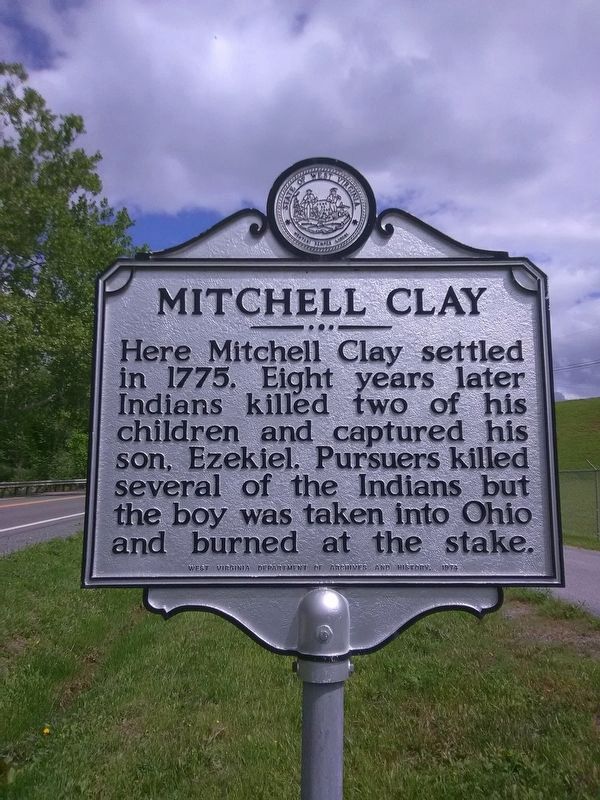
Photographed by Roger Miller, May 30, 2018
1. Mitchell Clay Marker
Erected 1974.
Topics and series. This historical marker is listed in these topic lists: Indigenous Peoples and Communities • Settlements & Settlers. In addition, it is included in the West Virginia Archives and History series list. A significant historical year for this entry is 1775.
Location. 37° 24.311′ N, 81° 8.613′ W. Marker is in Rock, West Virginia, in Mercer County. It is on West Virginia Route 10 near Broken Arrow Drive, on the left when traveling west. Touch for map. Marker is in this post office area: Rock WV 24747, United States of America. Touch for directions.

Regionally, this marker is in the Southern Coalfields. It is also in the American South, specifically in the Upper South, in Appalachia, and specifically in Southern Appalachia. Globally, it is in North America, the Western Hemisphere, the Western World, and the Anglosphere. Historically, it finds itself in what was once
this page online
Other nearby markers. At least 8 other markers are within 4 miles of this marker, measured as the crow flies: Feeding the Confederacy (a few steps from this marker); Confederate Dead (approx. 3.2 miles away); Napoleon Bonaparte French (approx. 3.2 miles away); McNutt House (approx. 3½ miles away); Those Who Served War Museum (approx. 3½ miles away); To The Memory of Gen. Hugh Mercer (approx. 3½ miles away); Princeton (approx. 3½ miles away); American Revolution Bicentennial Bell (approx. 3½ miles away).
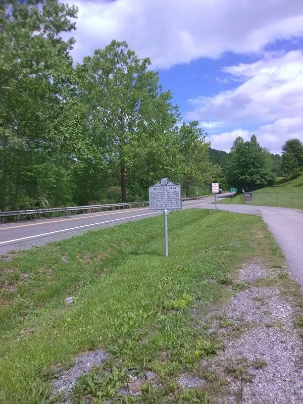
Photographed by Roger Miller, May 30, 2018
2. Mitchell Clay Marker
Credits. This page was last revised on August 9, 2021. It was originally submitted on May 30, 2018, by Roger Miller of Pulaski, Virginia. This page has been viewed 1,597 times since then and 86 times this year. Photos: 1, 2. submitted on May 30, 2018, by Roger Miller of Pulaski, Virginia. • Bill Pfingsten was the editor who published this page.
