Southwark in Greater London, England, United Kingdom — Northwestern Europe (the British Isles)
British 15-inch naval guns
Photographed by Michael Herrick, May 1, 2018
1. British 15-inch naval guns Marker
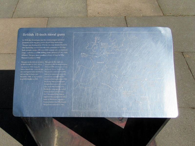
The map shows engagements on D-Day, 6 June 1944 HMS Roberts; Assault on Walcheren, Holland, 1 November 1944 HMS Roberts; Battle of Cape Spartivento, Italy, 27 November 1940, HMS Ramillies; Bombardment of Bardia, 17 August 1940, HMS Ramillies; Ismid Peninsula, June 1920, HMS Ramillies.
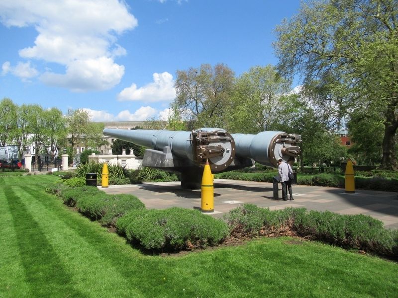
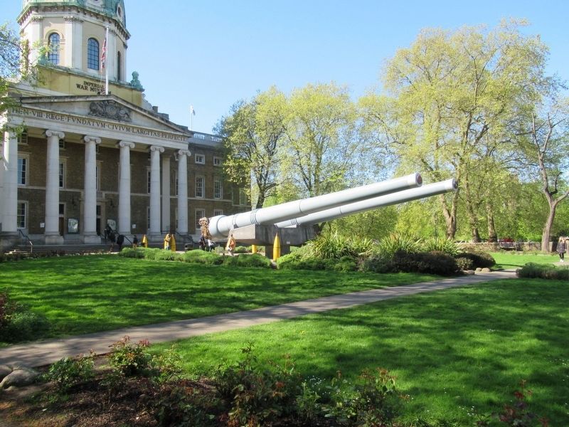
In 1914, the 15-inch gun was the newest, largest and most powerful of the big guns used in Royal Navy battleships. The gun was developed in 1912 for the new Queen Elizabeth class battleships and became the main armament in 22 ships. Each example weighs 100 tons (102 tonnes) and, at maximum range, could fire a l,938lb (876kg) shell a distance of 16 miles (29kms). The guns were installed in from of Imperial War Museum London in 1968.
The gun on the left was mounted in HMS Ramillies in 1916. It first saw action in 1920 during the Greco - Turkish War. Later, the gun was used against Italian land forces and warships in August and November 1940. Is was removed from HMS Ramillies in 1941.
The gun on the right mounted in HMS Resolution between1915 and 1938 and also saw service during the Greco - Turkish War. The gun was remounted in HMS Roberts , an important unit in the naval forces assembled for the invasion of Normandy in June 1944. On D-Day, Roberts bombarded Houlgate Battery, on the eastern edge of the Allied landing area. During the campaign, she shelled enemy positions around Caen. On 1 November 1944. Roberts
this page online
Topics. This memorial is listed in these topic lists: War, World I • War, World II • Waterways & Vessels.
Location. 51° 29.79′ N, 0° 6.514′ W. Memorial is in Southwark, England, in Greater London. It is at the intersection of Lambeth Road and St. George’s Road, on the left when traveling west on Lambeth Road. Located in front of the Imperial War Museum, London. Touch for map. Memorial is in this post office area: Southwark, England SE1 6HZ, United Kingdom. Touch for directions.

Regionally, this memorial is in London and in the Greater South East. Globally, it is on the Atlantic Ocean, in the North Atlantic Region, in Europe, in Atlantic Europe, on one of the British Isles, in the Western World, and in the Anglosphere. Historically, it finds itself in what was once the Roman Empire.
Other nearby markers. At least 8 other markers are within walking distance of this marker: Section of the Berlin Wall (a few steps from this marker);
Photographed by Michael Herrick, May 1, 2018
2. British 15-inch naval guns
Also see . . .
1. Imperial War Museum. (Submitted on May 31, 2018, by Michael Herrick of Southbury, Connecticut.)
2. Imperial War Museum on Wikipedia. (Submitted on May 31, 2018, by Michael Herrick of Southbury, Connecticut.)
Photographed by Michael Herrick, May 1, 2018
3. British 15-inch naval guns in front of the Imperial War Museum
Credits. This page was last revised on January 27, 2022. It was originally submitted on May 31, 2018, by Michael Herrick of Southbury, Connecticut. This page has been viewed 765 times since then and 86 times this year. Photos: 1, 2, 3. submitted on May 31, 2018, by Michael Herrick of Southbury, Connecticut.
