Sarita in Kenedy County, Texas — The American South (West South Central)
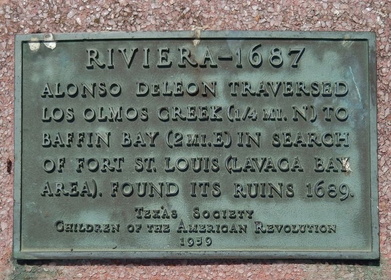
Riviera - 1687
Los Olmos Creek (¼ mi. N) to
Baffin Bay (2 mi. E) in search
of Fort St. Louis (Lavaca Bay
area). Found its ruins 1689.
Texas Society
Children of the American Revolution
1959
Erected 1959 by Texas Society, Children of the American Revolution.
Topics. This historical marker is listed in these topic lists: Colonial Era • Exploration • Forts and Castles. A significant historical year for this entry is 1687.
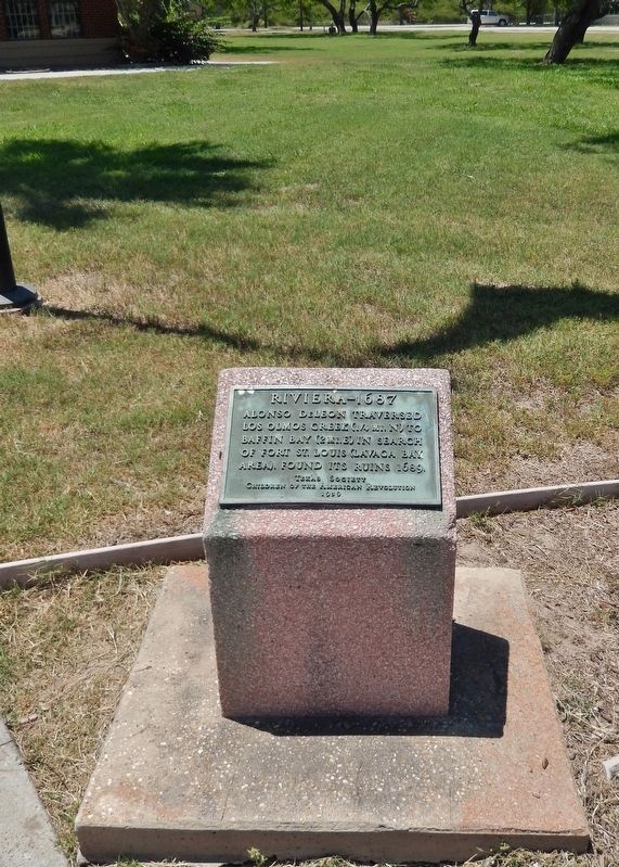
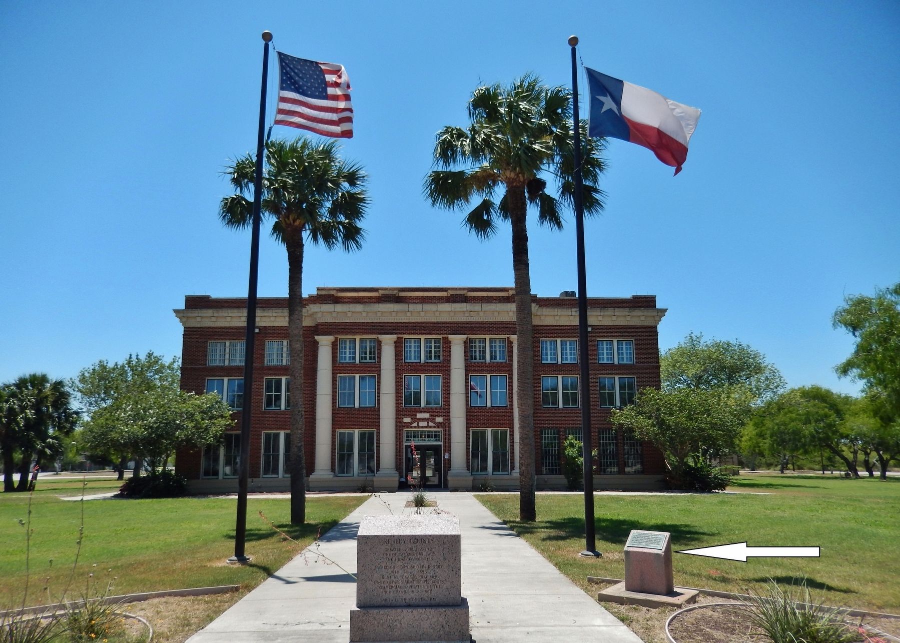
Location. 27° 13.34′ N, 97° 47.508′ W. Marker is in Sarita, Texas, in Kenedy County. Marker is on Mallory Street north of East La Parra Avenue, on the left when traveling north. Marker is located on the east side of the Kenedy County Courthouse. Touch for map. Marker is at or near this postal address: 151 Mallory Street, Sarita TX 78385, United States of America. Touch for directions.
Other nearby markers. At least 8 other markers are within 7 miles of this marker, measured as the crow flies. Kenedy County (here, next to this marker); Kenedy County Courthouse Construction (within shouting distance of this marker); The Town of Sarita (within shouting distance of this marker); Riviera United Methodist Church (approx. 5.3 miles away); Civil War Raid From Camp Boveda (approx. 5½ miles away); Indian Burial Ground (approx. 5½ miles away); Riviera Cemetery (approx. 5.8 miles away); Under this Tree General Zachary Taylor (approx. 6.2 miles away). Touch for a list and map of all markers in Sarita.
Also see . . . Alonso De Leon: Pathfinder in East Texas, 1686-1690. De Leon's second overland expedition set out in February 1687. This effort forded the Rio Grande near the present town of Roma, and followed the left bank to the coast. French ordnance was much in evidence. De Leon recorded finding eight pieces of artillery, all of medium bore - four or five pounders - some with broken carriages. There were also iron bars, ship's nails, and "casks with their heads knocked in and contents spilled out." In Don Alonso's view, Fort St. Louis, located by his reckoning 136 leagues above Monclova, contained almost nothing of value. (Submitted on June 1, 2018, by Cosmos Mariner of Cape Canaveral, Florida.)
Credits. This page was last revised on June 4, 2018. It was originally submitted on June 1, 2018, by Cosmos Mariner of Cape Canaveral, Florida. This page has been viewed 235 times since then and 17 times this year. Photos: 1, 2, 3. submitted on June 1, 2018, by Cosmos Mariner of Cape Canaveral, Florida. • Bernard Fisher was the editor who published this page.


