Downtown in Reykjavík in Reykjavíkurborg, Höfuðborgarsvæðið, Iceland — North Atlantic and Artic Oceans (a Nordic Island)
Neighbourhood of the Gods
⎯⎯⎯
Goðahverfið
| — | Reykjavik Bókmenntaborg UNESCO City of Literature | — |
Photographed by Andrew Ruppenstein, May 18, 2018
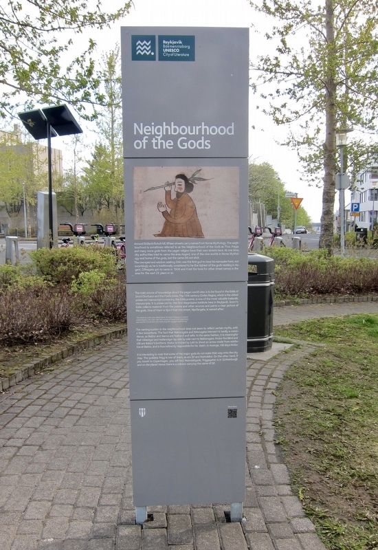
1. Neighbourhood of the Gods / Goðahverfið Marker - English Side

(English side:)
Around Skólavörðuholt hill, fifteen streets carry names from Norse Mythology. The neighbourhood is sometimes referred to as the Neighbourhood of the Gods as Thor, Freyja and many more gods from the pagan religion have their own streets here. At one time, city authorities tried to name the area Asgard, one of the nine worlds in Norse Mythology and home of the gods, but the name did not stick. The one eyed and wisdom seeking Odin was the first god to have his namesake here, not surprisingly as he is traditionally considered to be the highest of the gods residing in Asgard. Odinsgata got its name in 1906 and it set the tone for other street names in the area for the next 25 years or so.
The main source of knowledge about the pagan world view is to be found in the Edda of Snorri Sturluson and the Poetic Edda. The 13th century Codex Regius, which is the oldest preserved manuscript containing the Edda poems, is one of the most valuable Icelandic manuscripts. It is preserved by the Arni Magnusson Institute here in Reykjavik. Snorri's Edda collects material from the poems and other sources and paints
this page online
"The third As is the one called Njord. He lives in heaven in a place called Noatun. He rules over the motion of wind and moderates sea and fire. It is to him one must pray for voyages and fishing."
The naming system in the neighbourhood does not seem to reflect certain myths, with a few exceptions. The fact that Baldursgata and Nonnugata intersect is hardly a coincidence, as Baldur and Nanna are husband and wife. In the same fashion, it is meaningful that Valastigur and Haoarstigur lay side by side next to Baldursgata. Hodur the blind and Vali are Baldur's brothers. Hodur is tricked by Loki to shoot an arrow made from mistletoe at Baldur, and is thus indirectly responsible for his death. In revenge, Vali slays Hodur.
It is interesting to note that some of the major gods do not make their way onto the city map. The goddess Frigg is one of them, as are Sif and Heimdallur. On the other hand, if you travel to Copenhagen, you will find Heimdalsgade, Friggagatan is in Gothenburgh and on the planet Venus there is a volcano carrying
Photographed by Andrew Ruppenstein, May 18, 2018
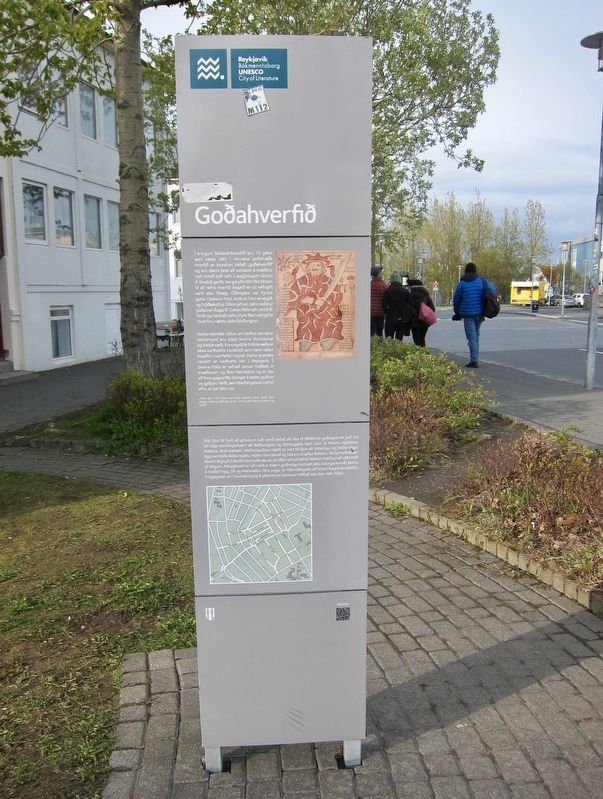
2. Neighbourhood of the Gods / Goðahverfið Marker - Icelandic Side
(Icelandic text:)
Helstu heimildir okkar um heiðna norræna heimsmynd eru Edda Snorra Sturlusonar og Eddukvæði. Konungsbók Eddukvæða er elsta varðveitta handritið sem færir okkur kvæðin í samfelldri mynd. Þetta einstaka handrit er varðveitt hér í Reykjavík. Í Snorra-Eddu er safnað saman fróðleik úr kvæðunum og fieiri heimildum og er þar að finna gagnorðar lýsingar á helstu guðum og gyðjum. Nirði, sem Njarðargata er nefnd eftir, er bar lýst svo:
„Hann býr á himni þar sem heitir Nóatún. Hann ræður fyrir göngu vinds og stillir sjá og eld. Á honn skal heito til sæfara og veiða."
Ekki
Photographed by Andrew Ruppenstein, May 18, 2018
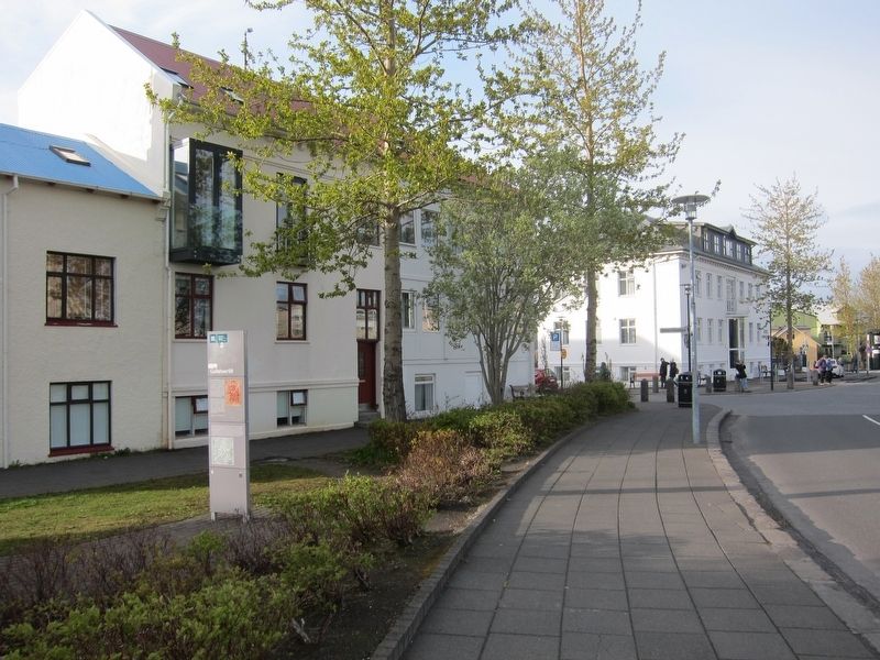
3. Neighbourhood of the Gods / Goðahverfið Marker - Wide View
Topics. This historical marker is listed in these topic lists: Religion & Religious Structures • Roads & Vehicles • Settlements & Settlers. A significant historical year for this entry is 1906.
Location. 64° 8.548′ N, 21° 55.701′ W. Marker is in Reykjavík, Capital Region (Höfuðborgarsvæðið), in Reykjavíkurborg. It is in Downtown. It is at the intersection of Njarðargata and Freyjugata on Njarðargata. Touch for map. Marker is at or near this
Photographed by Andrew Ruppenstein, May 18, 2018
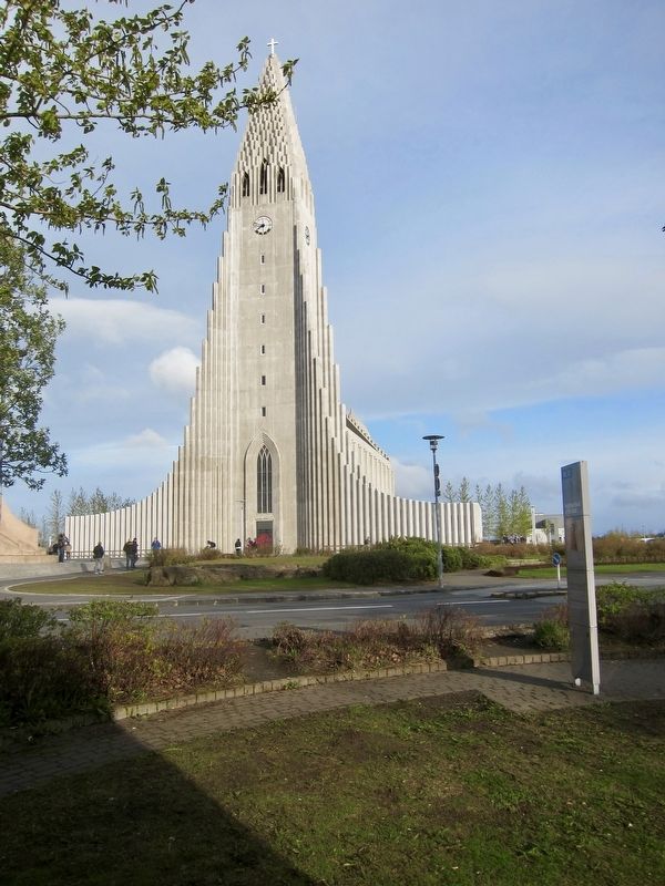
4. Neighbourhood of the Gods / Goðahverfið Marker - Another Wide View
Visible from the marker site is Iceland's most famous building, the Hallgrimskirkja.

Regionally, it is on the Atlantic Ocean, in the North Atlantic Region, on the Atlantic Arc, in Europe, in Atlantic Europe, in the Nordic Countries, in the Schengen Area, in the Western Hemisphere, and in the Western World.
Other nearby markers. At least 8 other markers are within walking distance of this marker: Sjúkrahús Hvítabandsins / White Ribbon Hospital (within shouting distance of this marker); Skólavörðustígur 13 (approx. 0.3 kilometers away); Founding of the Reykjavik Water Utility / Uphaf vatnsveitu (approx. 0.3 kilometers away); Tobbukot (approx. 0.3 kilometers away); Skólavörðustígur 11 (approx. 0.3 kilometers away); Laugavegur 15 (approx. 0.4 kilometers away); Hverfisgata 45 (approx. 0.4 kilometers away); Torfhildur Hólm (approx. 0.4 kilometers away). Touch for a list and map of all markers in Reykjavík.
Also see . . . Neighbourhood of the Gods. Reykjavik Bókmenntaborg UNESCO City of Literature website entry (Submitted on June 2, 2018.)
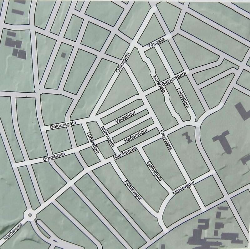
5. Neighbourhood of the Gods Marker - Inset Map of Neighbourhood
Credits. This page was last revised on October 26, 2025. It was originally submitted on June 2, 2018, by Andrew Ruppenstein of Lamorinda, California. This page has been viewed 755 times since then and 38 times this year. Photos: 1, 2, 3, 4, 5. submitted on June 2, 2018, by Andrew Ruppenstein of Lamorinda, California.
