Pollock in Grant Parish, Louisiana — The American South (West South Central)
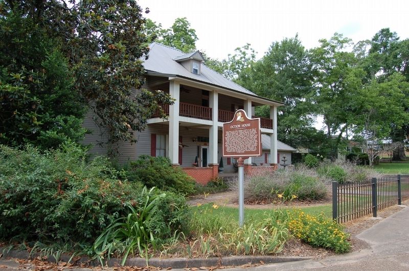
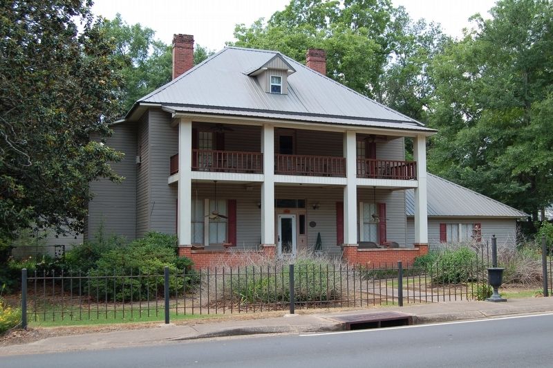
Oction House
Photographed by Cajun Scrambler, May 20, 2018
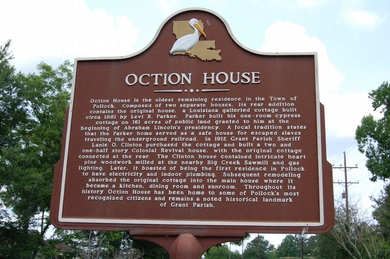
1. Oction House Marker
Inscription.
Oction House is the oldest remaining residence in the Town of Pollock. Composed of two separate houses, its rear addition contains the original house, a Louisiana galleried cottage built circa 1861 by Levi B. Parker. Parker built his one-room cypress cottage on 161 acres of public land granted to him at the beginning of Abraham Lincoln's presidency. A local tradition states that the Parker home served as a safe house for escaped slaves traveling the underground railroad. In 1912 Grant Parish Sheriff Lanie O. Clinton purchased the cottage and built a two and one-half story Colonial Revival house, with the original cottage connected at the rear. The Clinton house contained intricate heart pine woodwork milled at the nearby Big Creek Sawmill and gas lighting. Later it boasted of being the first residence in Pollock to have electricity and indoor plumbing. Subsequent remodeling absorbed the original cottage into the main house where it became a kitchen, dining room and sunroom. Throughout its history Oction House has been home to some of Pollock's most recognized citizens and remains a noted historical landmark of Grant Parish.
Location. 31° 31.477′ N, 92° 24.682′ W. Marker is in Pollock, Louisiana, in Grant Parish. It is on Howard Street (State Highway 8) near Haney Street, on the left when traveling west. Touch for map. Marker is in this post office area: Pollock LA 71467, United States of America. Touch for directions.
Regionally, this marker is in Central Louisiana. It is also in the American South, specifically in the Deep South, and in the Piney Woods. Globally, it is in North America, a Gulf of Mexico state, the Western Hemisphere, the Western World, and the Anglosphere. Historically, it finds itself in what was once the territory of the Mississippian Culture, the Louisiana Purchase, one of the Confederate States of America, and the Antebellum South.
Other nearby markers. At least 8 other markers are within 11 miles of this marker, measured as the crow flies: Town of Pollock (about 500 feet away, measured in a direct line); Pollock School (approx. 0.2 miles
Credits. This page was last revised on February 24, 2024. It was originally submitted on June 3, 2018, by Cajun Scrambler of Assumption, Louisiana. This page has been viewed 1,333 times since then and 92 times this year. Photos:1, 2, 3. submitted on June 3, 2018.