Rodney in Jefferson County, Mississippi — The American South (East South Central)
Old Town of Rodney
Windsor Battlefield Tour
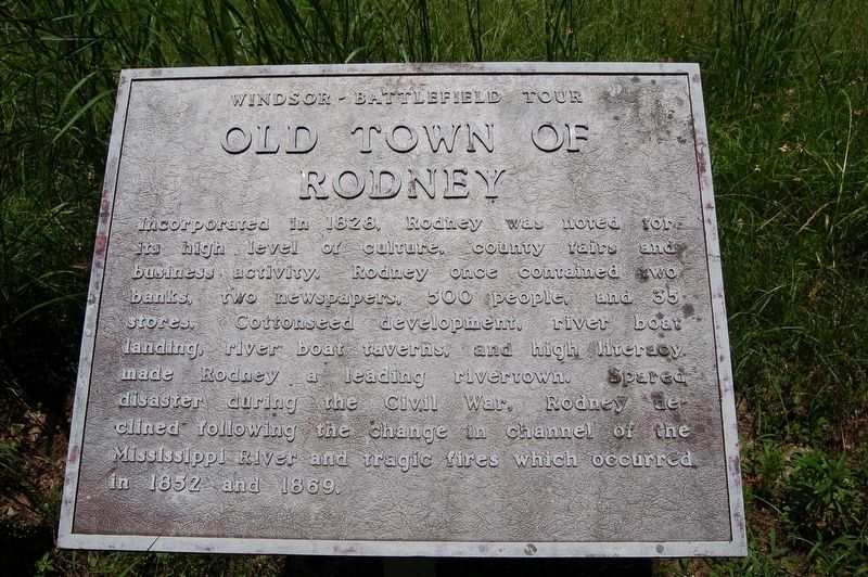
Incorporated in 1828, Rodney was noted for its high level of culture, county fairs and business activity. Rodney once contained two banks, two newspapers, 500 people and 35 stores. Cottonseed development, river boat landing, river boat taverns and high literacy made Rodney a leading rivertown. Spared disaster during the Civil War, Rodney declined following the change in channel of the Mississippi River and tragic fires which occurred in 1852 and 1869.
Topics. This historical marker is listed in these topic lists: Settlements & Settlers • War, US Civil.
Location. 31° 51.779′ N, 91° 11.997′ W. Marker is in Rodney, Mississippi, in Jefferson County. Marker is on Muddy Bayou Road west of Rodney Road, on the right when traveling west. Touch for map. Marker is in this post office area: Lorman MS 39096, United States of America. Touch for directions.
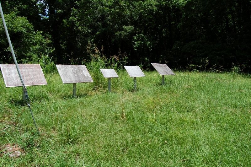
Other nearby markers. At least 8 other markers are within walking distance of this marker. Old Rodney to Bruinsburg Road (here, next to this marker); Old Town of Rodney - Structures (here, next to this marker); Dr. Rush Nutt (1781-1837) (here, next to this marker); Laurel Hill Plantation (here, next to this marker); Old Rodney Presbyterian Church (within shouting distance of this marker); Rodney Presbyterian Church (within shouting distance of this marker); Old Town of Rodney - Layout (within shouting distance of this marker); History of Rodney - Her Rise (within shouting distance of this marker). Touch for a list and map of all markers in Rodney.
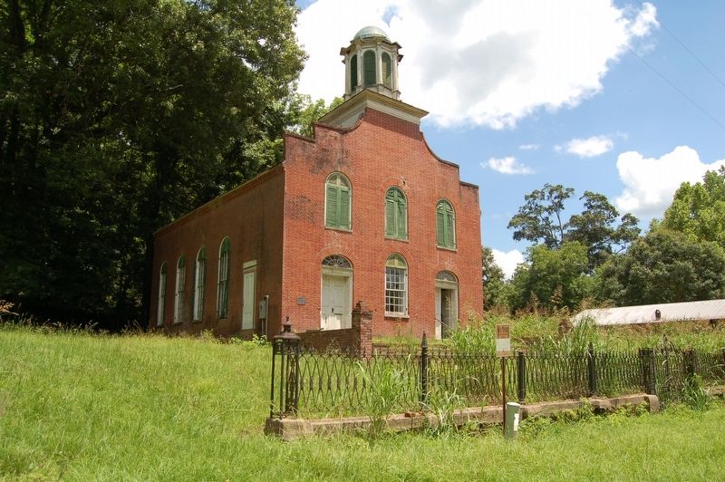
More about this marker. Located in front of the Rodney Presbyterian Church
Credits. This page was last revised on August 24, 2023. It was originally submitted on June 5, 2018, by Cajun Scrambler of Assumption, Louisiana. This page has been viewed 203 times since then and 15 times this year. Photos: 1, 2, 3. submitted on June 5, 2018.


