Cuddebackville in Orange County, New York — The American Northeast (Mid-Atlantic)
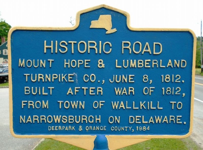
Historic Road
Mount Hope & Lumberland Turnpike Co., June 8, 1812. Built after War of 1812, from Town of Wallkill to Narrowsburgh on Delaware.
Erected 1984 by Deerpark & Orange County.
Topics. This historical marker is listed in this topic list: Roads & Vehicles. A significant historical date for this entry is June 8, 1812.
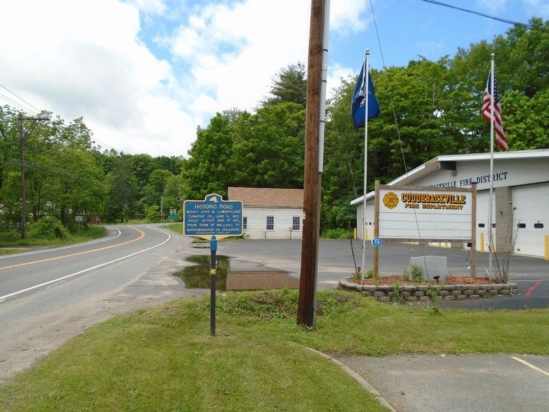
Location. 41° 27.848′ N, 74° 35.525′ W. Marker is in Cuddebackville, New York, in Orange County. Marker is on New York State Route 211 east of U.S. 209, on the left when traveling east. Touch for map. Marker is in this post office area: Cuddebackville NY 12729, United States of America. Touch for directions.
Other nearby markers. At least 8 other markers are within walking distance of this marker. Jacques Caudebec (about 300 feet away, measured in a direct line); Cuddebackville (about 400 feet away); Benjamin Eaton (about 800 feet away); a different marker also named Benjamin Eaton (about 800 feet away); Silent Movies (approx. 0.2 miles away); D. & H. Canal (approx. ¼ mile away); Delaware and Hudson Canal (approx. half a mile away); Delaware & Hudson Canal Park (approx. 0.6 miles away). Touch for a list and map of all markers in Cuddebackville.
Regarding Historic Road. As noted in History of Sullivan county... (Quinlan, 1873), "The Mount Hope and Lumberland Turnpike Company was incorporated in 1812. George D. Wickham and John Duer, of Goshen, Benjamin Woodward, Benjamin Dodge and Benjamin B. Newkirk, of Mount Hope; and William A. Cuddeback and Abraham Cuddeback, of Deerpark, were directors. Work was commenced about the year 1815, and the road was subsequently completed as far as Narrowsburgh. Under an act of the Pennsylvania Legislature, the work was extended to Honesdale."
Credits. This page was last revised on December 27, 2023. It was originally submitted on June 6, 2018, by William Fischer, Jr. of Scranton, Pennsylvania. This page has been viewed 403 times since then and 38 times this year. Photos: 1, 2. submitted on June 6, 2018, by William Fischer, Jr. of Scranton, Pennsylvania.

