Cataract in Monroe County, Wisconsin — The American Midwest (Great Lakes)
Cataract
Town of Little Falls
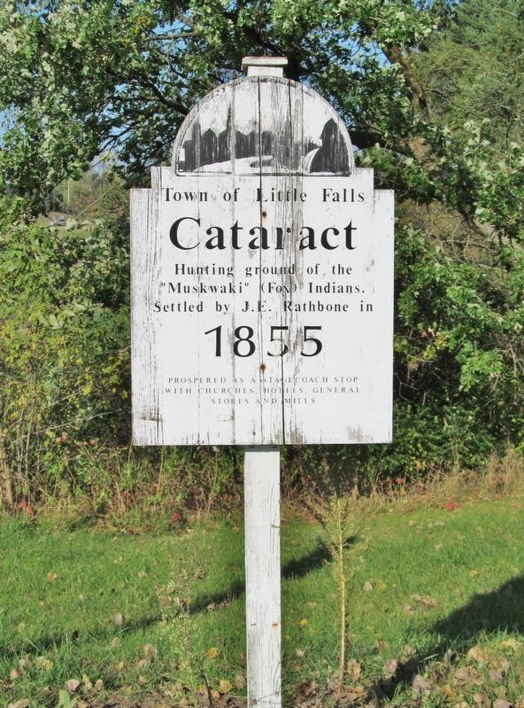
Photographed by Keith L, September 22, 2017
1. Cataract Marker
"Muskwaki" (Fox) Indians.
Settled by J. E. Rathbone in
1855
Prospered as a stage coach stop
with churches, hotels, general
stores and mills.
Topics. This historical marker is listed in these topic lists: Indigenous Peoples and Communities • Settlements & Settlers. A significant historical year for this entry is 1855.
Location. 44° 5.455′ N, 90° 50.436′ W. Marker is in Cataract, Wisconsin, in Monroe County. It is on State Highway 27 0.1 miles north of County Highway I, on the right when traveling north. Marker is at a highway pull-off immediately south of Rathbone Creek. Touch for map. Marker is in this post office area: Cataract WI 54620, United States of America. Touch for directions.

Regionally, this marker is in the American Midwest and in the Corn Belt. Globally, it is in North America, the Western Hemisphere, the Western World, and the Anglosphere. Historically, it finds itself in what was once the territory of the Mississippian Culture and also the Northwest Territory.
Other nearby markers. At least 8 other markers are within 11 miles of this marker, measured as the crow flies:
this page online
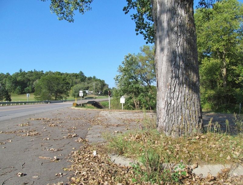
Photographed by Keith L, September 22, 2017
2. Cataract Marker
Credits. This page was last revised on June 8, 2018. It was originally submitted on June 8, 2018, by Keith L of Wisconsin Rapids, Wisconsin. This page has been viewed 635 times since then and 64 times this year. Photos: 1, 2. submitted on June 8, 2018, by Keith L of Wisconsin Rapids, Wisconsin.
