Fredericksburg in Gillespie County, Texas — The American South (West South Central)
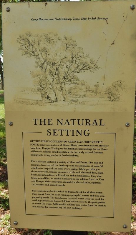
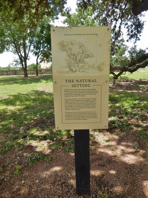
The Natural Setting
Of the first soldiers to arrive at Fort Martin Scott, none were natives of Texas. Many came from eastern states or were from Europe. Having traded familiar surroundings for the Texas wilderness, soldiers could identify with the newly arrived German immigrants living nearby in Fredericksburg.
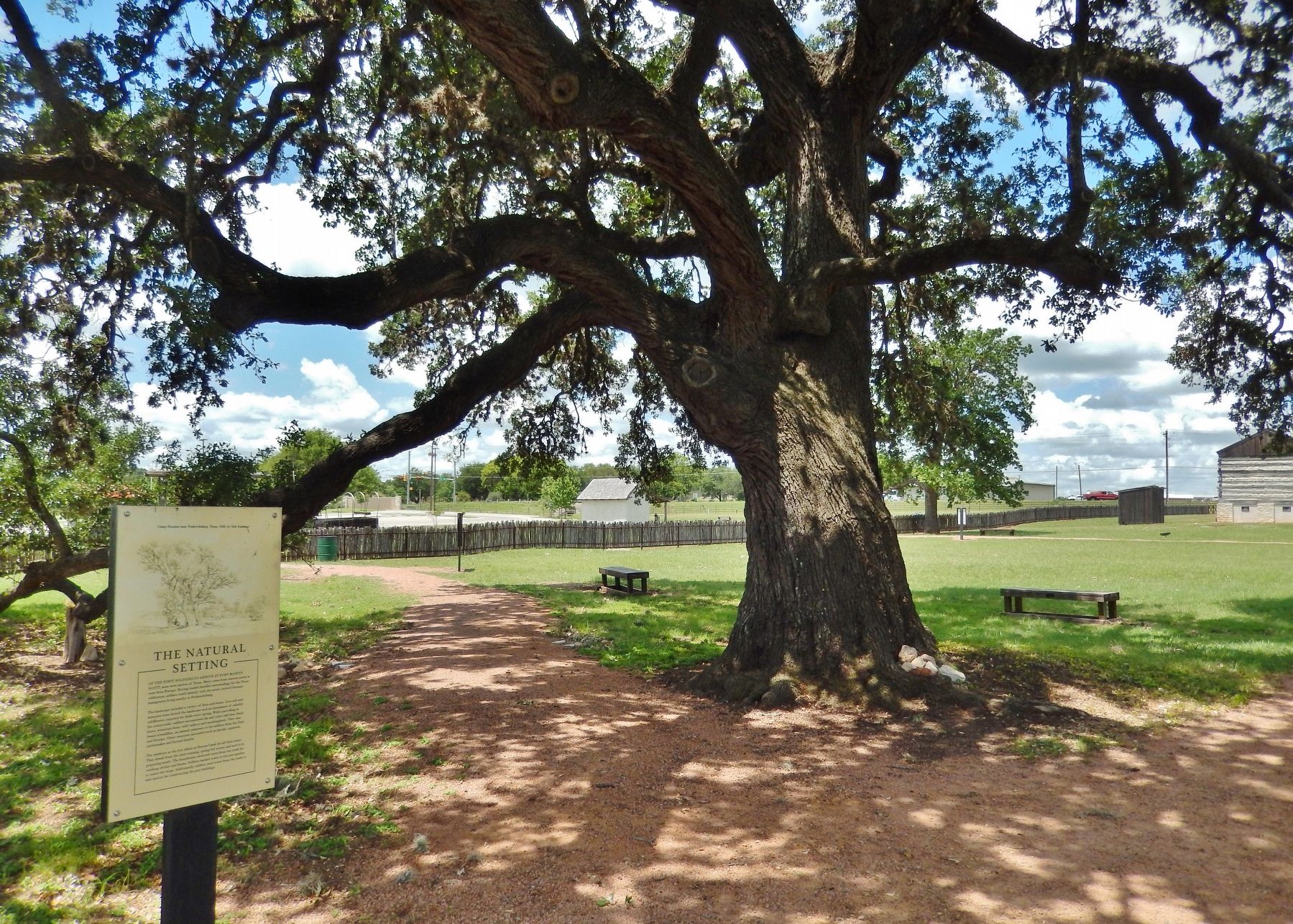
The landscape included a variety of flora and fauna. Live oak and mesquite trees dotted the landscape and an abundance of colorful wildflowers carpeted the fields every spring. While patrolling in the countryside, soldiers encountered elk and white tail deer, black bears, mountain lions, wild turkeys and mockingbirds. They also found armadillos, an animal unknown to the soldiers from the East and Europe. Other creatures abounded such as skunks, squirrels, rattlesnakes and horned lizards.
The residents at the fort relied on Barons Creek for all their water. They drank from the clear-running, spring-fed waters and used it in preparing meals. The laundresses retrieved water from the creek for washing clothes and linens. Soldiers hauled water to the post garden to water the crops. Additionally, soldiers used water from the creek to mix mortar for constructing the post buildings.
Topics. This historical marker is listed in these topic lists: Forts and Castles • Settlements & Settlers.
Location. 30° 14.922′ N, 98° 50.734′ W. Marker is in Fredericksburg, Texas, in Gillespie County. Marker can be reached from East Main Street (U.S. 290) 0.2 miles west of Heritage Hills Drive, on the right when traveling west. Marker is located within the Fort Martin Scott parade grounds. Touch for map. Marker is at or near this postal address: 1606 E Main St, Fredericksburg TX 78624, United States of America. Touch for directions.
Other nearby markers. At least 8 other markers are within walking distance of this marker. The Braeutigam Family (within shouting distance of this marker); Peace with the Indians (within shouting distance of this marker); The Guardhouse (within shouting distance of this marker); The Sutler's Store (within shouting distance of this marker); The Barracks (about 300 feet away, measured in a direct line); Uncovering the Past (about 300 feet away); The Town and the Fort (about 400 feet away); The Comanche Indians (about 500 feet away). Touch for a list and map of all markers in Fredericksburg.
More about this marker. Fort Martin Scott is a restored United States Army outpost in Fredericksburg, Texas, that was active from 1848 until 1853. It was part of a line of frontier forts established to protect travelers and settlers within Texas.
Related markers. Click here for a list of markers that are related to this marker. Fort Martin Scott
Also see . . . Fort Martin Scott. The fort was one of 8 established after the Mexican War along the then western frontier. The fort was originally constructed to protect the Northern end of the Fredricksburg - San Antonio Road against the hostile Commanche Indians. German settlers had concluded a treaty with the Comanches in 1847 and there were no attacks on the fort. The fort was occupied by Federal troops 1848-1853 and reoccupied by Federal troops after the U.S. Civil War in September 1866 but abandoned in December of that year. The fort site is now owned by the city of Fredericksburg and operated by the Gillespie County Historical Society. The society has developed the property as a park and historic site and continues with archeological projects and historic renovations. Site has a visitor's center, two reconstructed officer's quarters and the only remaining original building, the guardhouse. (Submitted on June 8, 2018, by Cosmos Mariner of Cape Canaveral, Florida.)
Credits. This page was last revised on June 11, 2018. It was originally submitted on June 8, 2018, by Cosmos Mariner of Cape Canaveral, Florida. This page has been viewed 207 times since then and 10 times this year. Photos: 1, 2, 3. submitted on June 8, 2018, by Cosmos Mariner of Cape Canaveral, Florida. • Bernard Fisher was the editor who published this page.


