Adams in Berkshire County, Massachusetts — The American Northeast (New England)
Maple Street Cemetery
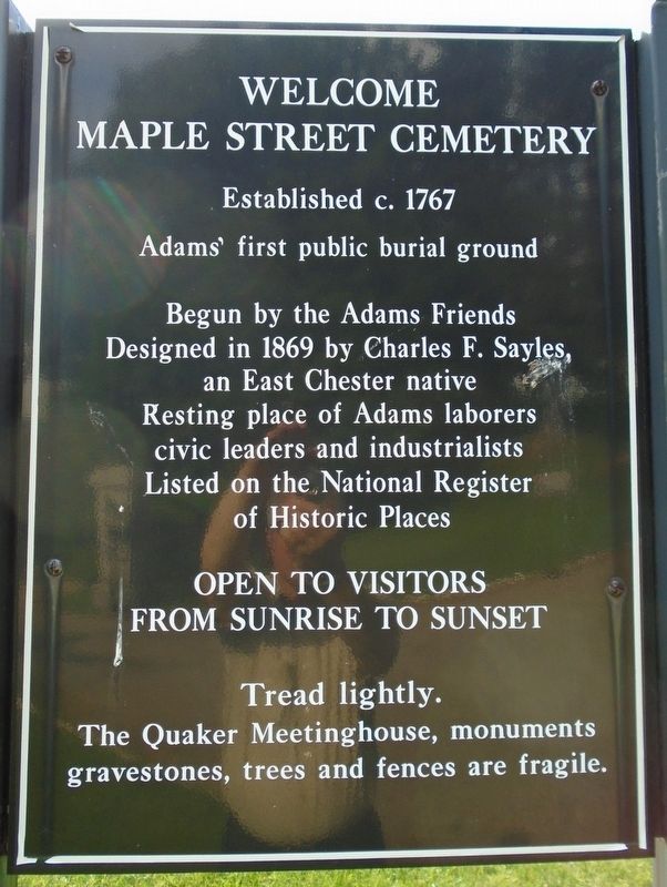
Welcome
Photographed by William Fischer, Jr., June 2, 2018
1. Maple Street Cemetery Marker
Adams' first public burial ground
Begun by the Adams Friends
Designed in 1869 by Charles F. Sayles,
an East Chester native
Resting place of Adams laborers
civic leaders and industrialists
Listed on the National Register
of Historic Places
Open to visitors
from sunrise to sunset
Tread lightly.
The Quaker Meetinghouse, monuments
gravestones, trees and fences are fragile.
Topics and series. This historical marker is listed in this topic list: Cemeteries & Burial Sites. In addition, it is included in the Quakerism series list. A significant historical year for this entry is 1767.
Location. 42° 37.531′ N, 73° 7.294′ W. Marker is in Adams, Massachusetts, in Berkshire County. It is on Maple Street west of Forest Park Avenue, on the right when traveling west. Marker is just inside the Maple Street entrance. Touch for map. Marker is in this post office area: Adams MA 01220, United States of America. Touch for directions.

Regionally, this marker is in Massachusetts’ Berkshires. It is also in the American Northeast and in New England. Globally, it is in North America, the Western Hemisphere,
this page online
Other nearby markers. At least 8 other markers are within walking distance of this marker: Civil War Memorial (within shouting distance of this marker); William McKinley (about 700 feet away, measured in a direct line); Why McKinley? / A Library & Civil War Veterans (about 700 feet away); Big Business of Cotton Cloth / Working in the Berkshires (approx. 0.2 miles away); East Hoosuck Society of Friends Revolutionary War Patriots (approx. 0.2 miles away); The Railroad Solved A Problem / The Railroad Changed Everything (approx. 0.2 miles away); Friends Meeting House (approx. ¼ mile away); War Memorial (approx. ¼ mile away). Touch for a list and map of all markers in Adams.
Photographed by William Fischer, Jr., June 2, 2018
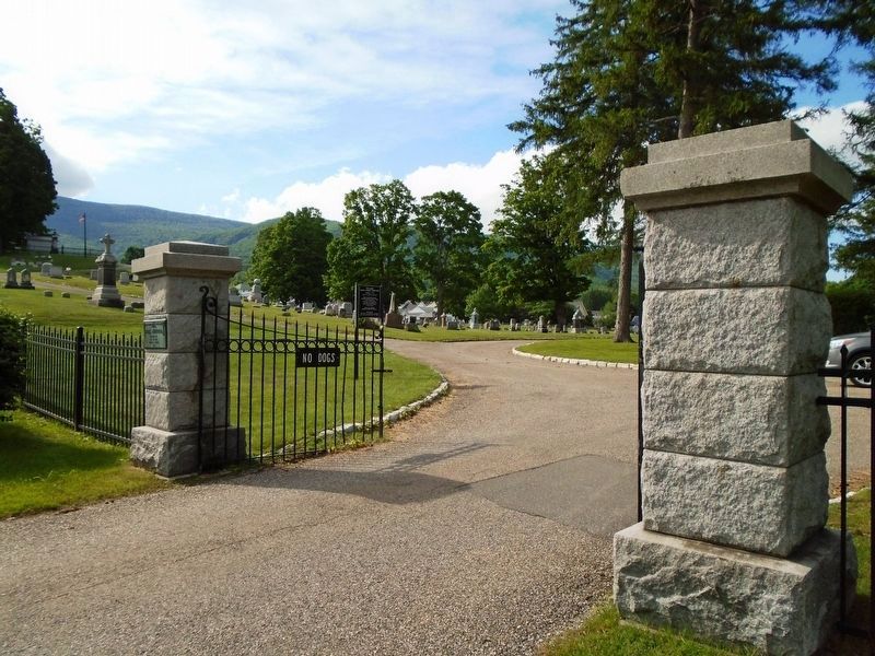
2. Maple Street Cemetery Entrance
Photographed by William Fischer, Jr., June 2, 2018
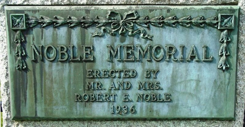
3. Maple Street Cemetery Entrance Memorial Marker
Photographed by William Fischer, Jr., June 2, 2018
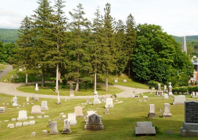
4. Maple Street Cemetery
Credits. This page was last revised on June 11, 2018. It was originally submitted on June 11, 2018, by William Fischer, Jr. of Reynoldsburg, Ohio. This page has been viewed 566 times since then and 65 times this year. Photos: 1, 2, 3, 4. submitted on June 11, 2018, by William Fischer, Jr. of Reynoldsburg, Ohio.
