Sabine Pass in Jefferson County, Texas — The American South (West South Central)
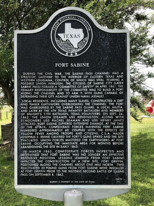
Fort Sabine
Local residents, including many slaves, constructed a dirt and timber earthwork overlooking the channel. The fort was garrisoned by the Sabine Pass Guard, a local militia, and later by the 6th Texas Infantry Battalion and members of Spaight’s 11th Battalion, Texas Volunteers. On Sept. 24, 1862, the Union steamer USS Kensington, along with schooners USS Rachel Seaman and USS Henry Janes attacked. Fort Sabine suffered extensive damage. At the time of the attack, Confederate forces manning Fort Sabine numbered approximately 60. Coupled with the effects of yellow fever among troops and citizens, C.S.A. Major Josephus S. Irvine ordered the Fort’s guns spiked and the site evacuated. Union forces mastered the earthworks at Fort Sabine, occupying the immediate area for months before abandoning the site in early 1863.
In March 1863, Confederate forces inspected and determined that Fort Sabine was no longer an effective defensive position. Lessons learned from Fort Sabine impacted the construction of a new site, Fort Griffin, positioned along the channel about one mile north. Two reactivated 32-pound guns from Fort Sabine were installed at Fort Griffin prior to the historic second battle of Sabine Pass on September 8, 1863.
Erected 2013 by Texas Historical Commission. (Marker Number 17600.)
Topics. This historical marker is listed in these topic lists: Forts and Castles • War, US Civil. A significant historical month for this entry is April 1861.
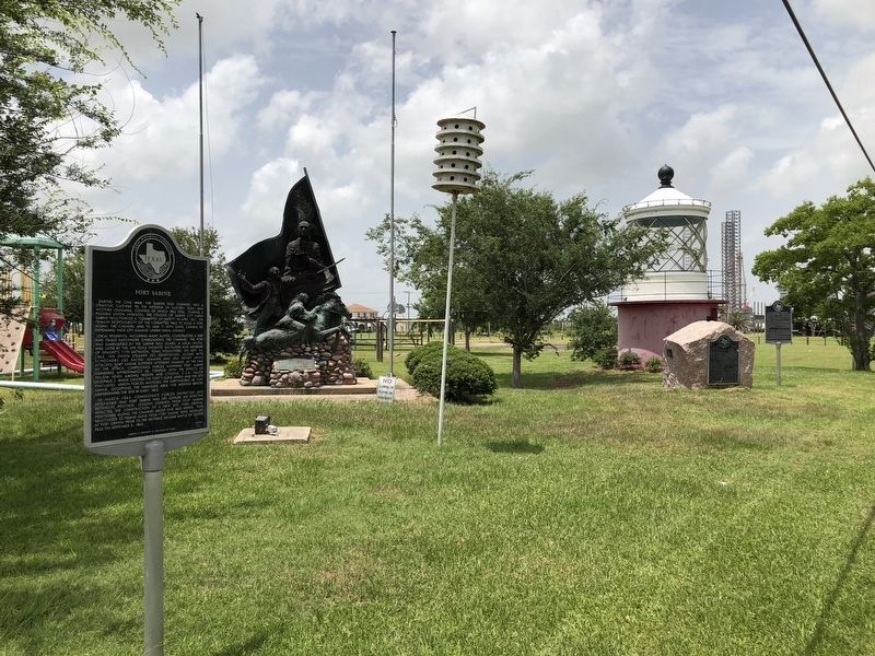
Location. 29° 44.076′ N, 93° 53.638′ W. Marker is in Sabine Pass, Texas, in Jefferson County. Marker is on Broadway Street, on the right when traveling south. Marker is one of several located within Lions Community Park. Touch for map. Marker is in this post office area: Sabine Pass TX 77655, United States of America. Touch for directions.
Other nearby markers. At least 8 other markers are within walking distance of this marker. City of Sabine and Sabine Pass (a few steps from this marker); 1886 Hurricane at Sabine Pass (a few steps from this marker); Sabine Pass World War II Memorial (a few steps from this marker); Sabine Pass Veterans Memorial (a few steps from this marker); Sabine Bank Lighthouse (a few steps from this marker); Melvin Gillette
(a few steps from this marker); Spaight's 11th Battalion (within shouting distance of this marker); Dick Dowling (about 800 feet away, measured in a direct line). Touch for a list and map of all markers in Sabine Pass.
Also see . . . Fort Sabine - The Handbook of Texas Online. Texas State Historical Association (TSHA) (Submitted on June 13, 2018, by Brian Anderson of Humble, Texas.)
Credits. This page was last revised on June 14, 2018. It was originally submitted on June 12, 2018, by Brian Anderson of Humble, Texas. This page has been viewed 359 times since then and 34 times this year. Photos: 1, 2. submitted on June 13, 2018, by Brian Anderson of Humble, Texas. • Andrew Ruppenstein was the editor who published this page.

