Trinidad in Humboldt County, California — The American West (Pacific Coastal)
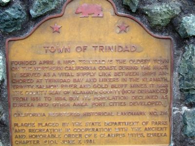
Town of Trinidad
California registered historical landmark No. 216
Plaque placed by the State Department of Parks and Recreation in cooperation with the Ancient and Honorable Order of E Clampus Vitus, Eureka Chapter #101, June 7, 1981
Erected 1981 by State Department of Parks and Recreation in cooperation with the Ancient and Honorable Order of E Clampus Vitus, Eureka Chapter #101. (Marker Number 216.)
Topics and series. This historical marker is listed in these topic lists: Settlements & Settlers • Waterways & Vessels. In addition, it is included in the California Historical Landmarks, and the E Clampus Vitus series lists. A significant historical date for this entry is April 8, 1940.
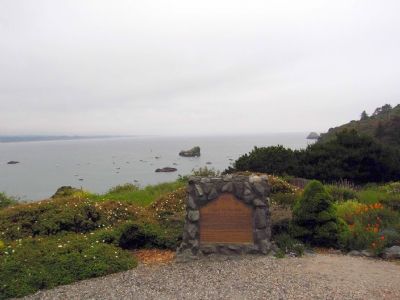
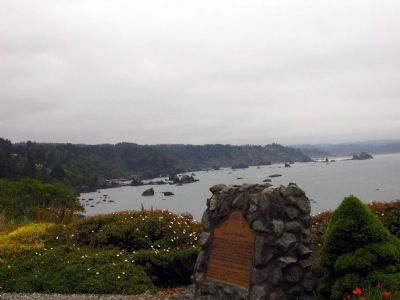
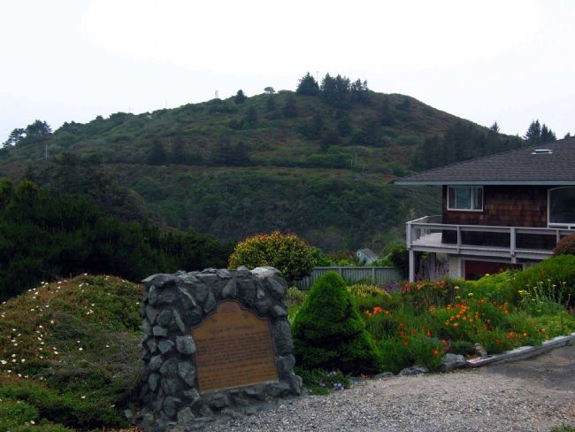
Location. 41° 3.499′ N, 124° 8.68′ W. Marker is in Trinidad, California, in Humboldt County. Marker is at the intersection of Edwards Street and Hector Street , on the left when traveling north on Edwards Street. Touch for map. Marker is in this post office area: Trinidad CA 95570, United States of America. Touch for directions.
Other nearby markers. At least 5 other markers are within 5 miles of this marker, measured as the crow flies. Holy Trinity Church (about 300 feet away, measured in a direct line); Tsurai (about 700 feet away); Trinidad Memorial Lighthouse (approx. ¼ mile away); Spain Claims Northern California (approx. half a mile away); William Z. Hegy (approx. 4.6 miles away). Touch for a list and map of all markers in Trinidad.
Credits. This page was last revised on June 16, 2016. It was originally submitted on June 18, 2007, by Karen Key of Sacramento, California. This page has been viewed 2,555 times since then and 59 times this year. Photos: 1, 2, 3, 4. submitted on June 18, 2007, by Karen Key of Sacramento, California. • J. J. Prats was the editor who published this page.


