Kale near Pamukkale in Denizli Merkez, Denizli, Turkey — West Asia or Southeast Europe
Hierapolis
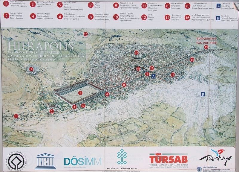
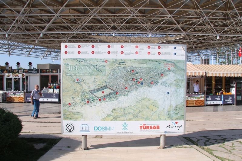
Visualization of Hierapolis
Inscription.
English Text:
(1) Northern Necropolis
(2) Baths - Basilica
(3) Suburban Theatre
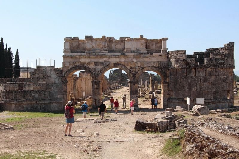
(4) Frontinus Gate
(5) Latrina
(6) Nymphaeum of the Tritons
(7) Agora
(8) Frontinus Street
(9) Temple Nymphaeum
(10) Temple of Apollon
(11) Ploutonion
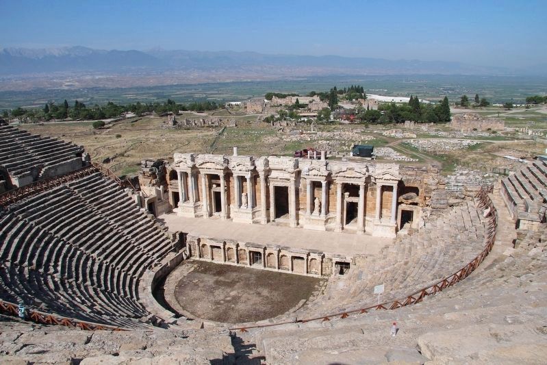
(12) Theatre
(13) Large Baths
(14) Gymnasium
(15) South Roman Gate
(16) Saint Philippe Martyrion
[A] Ancient Pool
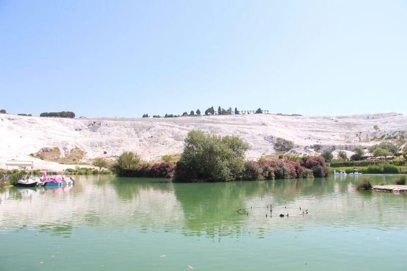
[B] Pamukkale Travertines
Erected by Republic of Turkey Ministry of Culture and Tourism; Association of Turkish Travel Agencies; Missione Archaeologica Italiana; United Nations Educational, Scientific and Cultural Organization.
Topics. This historical marker is listed in these topic lists: Anthropology & Archaeology • Churches & Religion • Parks & Recreational Areas.
Location. 37° 55.307′ N, 29° 7.8′ E. Marker is near Pamukkale, Denizli, in Denizli Merkez. It is in Kale. Marker can be reached from Pamukkale just north of Yeniköy Yolu, on the right when traveling south. This marker is located on the grounds of the archaeological park's, south gate, visitor center. Touch for map. Marker is in this post office area: Pamukkale, Denizli 20190, Turkey. Touch for directions.
Other nearby markers. At least 3 other markers are within walking distance of this marker. The Theatre (approx. 0.6 kilometers away); Temple Nymphaeum (3rd century AD) / Tapinak Nymphaeumu(i.S, III. yüzyıl) (approx. 0.7 kilometers away); Martyrion of St. Philip (approx. one kilometer away).
Regarding Hierapolis. This marker provides a map that shows an illustration of the layout of the roads and major features of the ancient Greek/Roman/Byzantine city of Hierapolis. The map focuses in on the appearance of the city in the 3rd century A.D.
Credits. This page was last revised on February 13, 2023. It was originally submitted on June 15, 2018, by Dale K. Benington of Toledo, Ohio. This page has been viewed 250 times since then and 22 times this year. Photos: 1. submitted on June 15, 2018, by Dale K. Benington of Toledo, Ohio. 2, 3, 4, 5, 6. submitted on June 16, 2018, by Dale K. Benington of Toledo, Ohio.
