Sturbridge in Worcester County, Massachusetts — The American Northeast (New England)
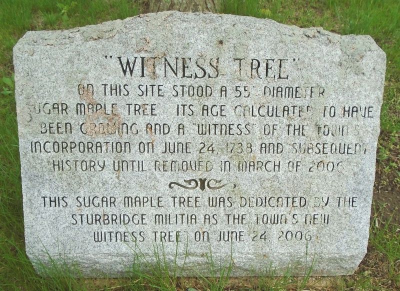
"Witness Tree"
sugar maple tree, its age calculated to have
been growing and a "witness" of the town's
incorporation on June 24, 1738 and subsequent
history until removed in March of 2006.
—————————
This sugar maple tree was dedicated by the
Sturbridge Militia as the town's new
"Witness Tree" on June 24, 2006
Erected 2006.
Topics. This historical marker is listed in these topic lists: Colonial Era • Horticulture & Forestry • Settlements & Settlers. A significant historical month for this entry is March 2006.
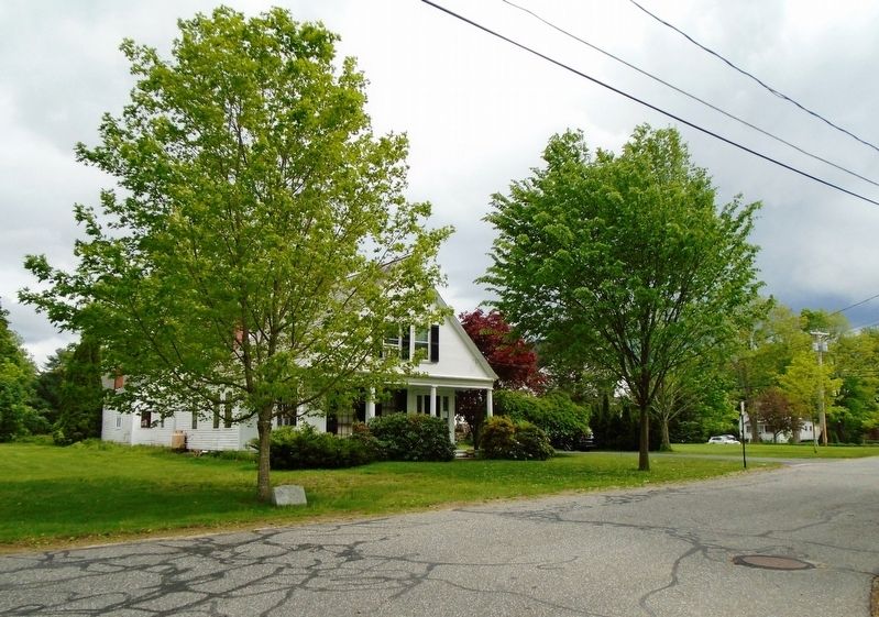
Location. 42° 6.47′ N, 72° 4.709′ W. Marker is in Sturbridge, Massachusetts, in Worcester County. Marker is on Charlton Street north of Main Street (Massachusetts Route 131), on the right when traveling north. Touch for map. Marker is in this post office area: Sturbridge MA 01566, United States of America. Touch for directions.
Other nearby markers. At least 8 other markers are within walking distance of this marker. Commerce on the Common (about 300 feet away, measured in a direct line); The Sturbridge Common (about 300 feet away); Civil War Soldier's Monument (about 500 feet away); The Old Burial Ground (about 500 feet away); Revere Bell (about 500 feet away); The Center School (about 600 feet away); War Memorial (about 600 feet away); Lt. Charles J. Collins USAAC (about 600 feet away). Touch for a list and map of all markers in Sturbridge.
Also see . . . An historical sketch of Sturbridge, Mass., from its settlement to the present time (Clark, 1838). (Submitted on June 15, 2018, by William Fischer, Jr. of Scranton, Pennsylvania.)
Credits. This page was last revised on June 15, 2018. It was originally submitted on June 15, 2018, by William Fischer, Jr. of Scranton, Pennsylvania. This page has been viewed 230 times since then and 10 times this year. Photos: 1, 2. submitted on June 15, 2018, by William Fischer, Jr. of Scranton, Pennsylvania.

