
Sturbridge in Worcester County, Massachusetts — The American Northeast (New England)
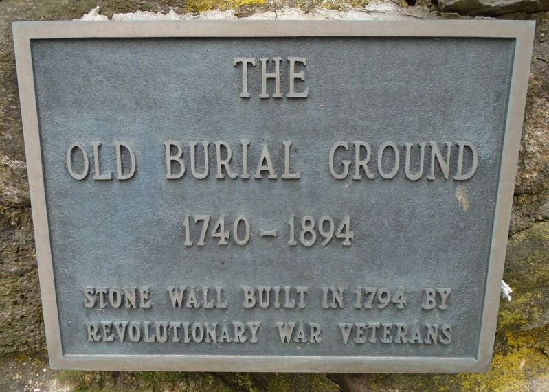
The Old Burial Ground
1740 - 1894
Photographed by William Fischer, Jr., May 20, 2018
1. The Old Burial Ground Marker
Revolutionary War Veterans
—————————
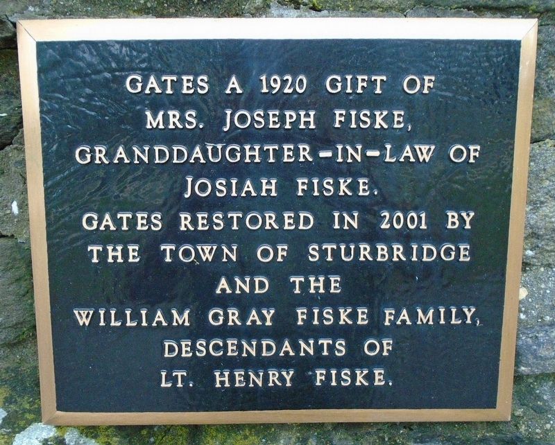
Gates a 1920 gift of
Mrs. Joseph Fiske,
granddaughter-in-law of
Josiah Fiske.
Gates restored in 2001 by
the Town of Sturbridge
and the
William Gray Fiske Family,
descendants of
Lt. Henry Fiske.
Topics. This historical marker is listed in these topic lists: Cemeteries & Burial Sites • War, US Revolutionary. A significant historical year for this entry is 1794.
Location. 42° 6.466′ N, 72° 4.827′ W. Marker is in Sturbridge, Massachusetts, in Worcester County. It is on Main Street (Massachusetts Route 131) east of Haynes Street/Maple Street, on the right when traveling east. Touch for map. Marker is in this post office area: Sturbridge MA 01566, United States of America. Touch for directions.

Regionally, this marker is in the Quiet Corner and in Greater Worcester. It is also in the American Northeast and in New England. Globally, it is in North America, the Western Hemisphere, the Western World, and the Anglosphere. Historically, it finds itself in what was once one of the original
this page online
Other nearby markers. At least 8 other markers are within walking distance of this marker: Revolutionary War Patriots (here, next to this marker); The Center School (a few steps from this marker); War Memorial (within shouting distance of this marker); Lt. Charles J. Collins USAAC (within shouting distance of this marker); Civil War Soldier's Monument (within shouting distance of this marker); The Sturbridge Common (within shouting distance of this marker); Revere Bell (within shouting distance of this marker); 1771 Publick House Historic Inn & Country Lodge (about 300 feet away, measured in a direct line). Touch for a list and map of all markers in Sturbridge.
Also see . . . An historical sketch of Sturbridge, Mass., from its settlement to the present time (Clark, 1838). (Submitted on June 15, 2018, by William Fischer, Jr. of Reynoldsburg, Ohio.)
Photographed by William Fischer, Jr., May 20, 2018
2. The Old Burial Ground Gates Marker
Photographed by William Fischer, Jr., May 20, 2018
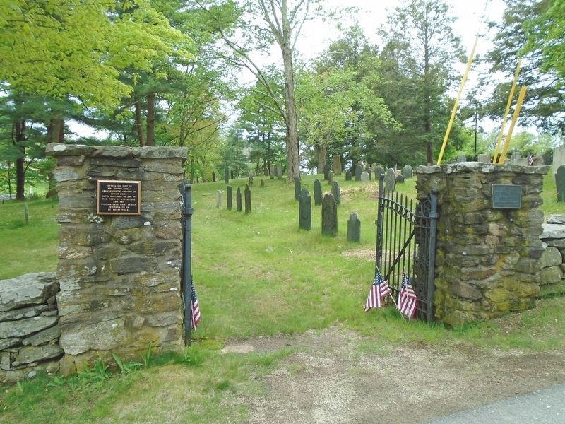
3. The Old Burial Ground and Markers
Photographed by William Fischer, Jr., May 20, 2018
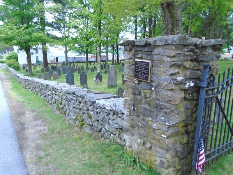
4. The Old Burial Ground Wall
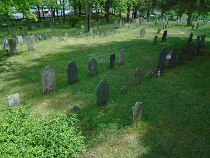
Photographed by William Fischer, Jr., May 20, 2018
5. The Old Burial Ground
Credits. This page was last revised on October 16, 2020. It was originally submitted on June 15, 2018, by William Fischer, Jr. of Reynoldsburg, Ohio. This page has been viewed 992 times since then and 51 times this year. Photos: 1, 2, 3, 4, 5. submitted on June 15, 2018, by William Fischer, Jr. of Reynoldsburg, Ohio.
