Upper Merion Township near Valley Forge in Montgomery County, Pennsylvania — The American Northeast (Mid-Atlantic)
To Build a Redoubt
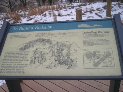
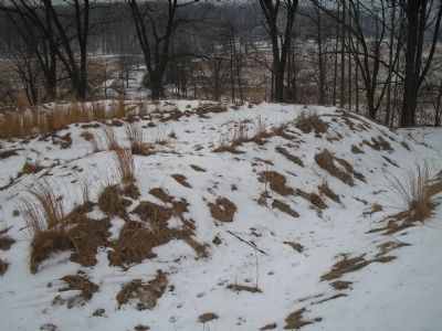
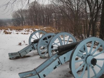
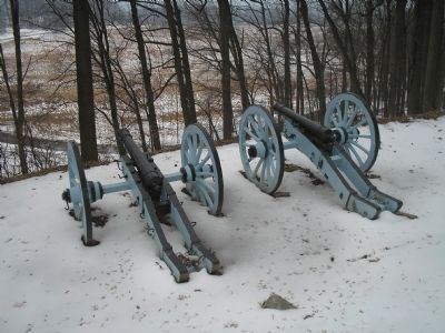
Here at redoubt 3, the inside walls were faced with stakes. Sod was scarce in the mud-churned encampment. Though partially reconstructed, Redoubt 3 is built on remnants of the original site. Please do not climb on the earthworks.
Defending the Gap
The valley between Outer and Inner Line defenses left the Americans vulnerable to attacks from the south. Redoubt 3 was built to secure this Achilles heel.
Directly across the valley is the Outer Line, supported by Brigadier General Anthony Wayne’s Pennsylvania Brigades. Their huts were plainly visible in the treeless encampment. In the event of attack, troops in Redoubt 3 could have raked the gap with cross-fire.
Erected by Valley Forge National Historical Park, National Park Service.
Topics. This historical marker is listed in these topic lists: Notable Events • Notable Places • War, US Revolutionary.
Location. 40° 5.471′ N, 75° 26.952′ W. Marker is near Valley Forge, Pennsylvania, in Montgomery County. It is in Upper Merion Township. Marker is on South Inner Line Drive, on the right when traveling north. Marker is on the auto tour road in Valley Forge National Historical Park, on E Inner Line Drive, at stop seven of the driving tour of Valley Forge. Touch for map. Marker is in this post office area: Phoenixville PA 19460, United States of America. Touch for directions.
Other nearby markers. At least 8 other markers are within walking distance of this marker. Innerline Defense (about 500 feet away, measured in a direct line); Artillery Park (approx. 0.2 miles away); The Camp’s Road System (approx. ¼ mile away); Virginia (approx. 0.3 miles away); Schoolhouse (approx. 0.3 miles away); Site of the Marquee (approx. 0.4 miles away); Anthony Wayne (approx. 0.4 miles away); In Memory of Unknown Soldiers (approx. 0.4 miles away). Touch for a list and map of all markers in Valley Forge.
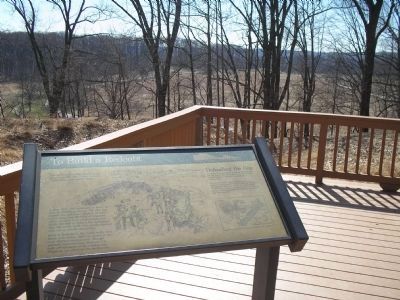
More about this marker. The background of the marker contains a picture of soldiers filling gabions and building the redoubt. The top of the marker features a cross-section of a redoubt, trenches, and earthworks. The bottom right of the marker has pictures of various tools used in the building of redoubts, including Entrenching shovels, Pick, Bill hook, Fascine and Gabions.
Also see . . . Valley Forge National Historical Park. National Park Service website. (Submitted on September 28, 2008, by Bill Coughlin of Woodland Park, New Jersey.)
Credits. This page was last revised on February 7, 2023. It was originally submitted on September 28, 2008, by Bill Coughlin of Woodland Park, New Jersey. This page has been viewed 1,200 times since then and 33 times this year. Photos: 1. submitted on September 28, 2008, by Bill Coughlin of Woodland Park, New Jersey. 2, 3. submitted on March 20, 2010, by Bill Coughlin of Woodland Park, New Jersey. 4, 5, 6. submitted on September 28, 2008, by Bill Coughlin of Woodland Park, New Jersey.
