Where is the Farm?
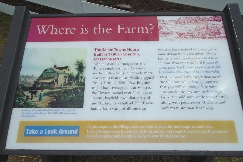
The Salem Towne House Built in 1796 in Charlton, Massachusetts
Like most of their neighbors, the Towne family farmed. As you can see from their house, they were more prosperous than most. While a typical family farm in 1830s New England might have averaged about 80 acres, the Townes owned over 300 acres of pasture, hayfields, woodlot, orchards, and "tillage," or cropland.
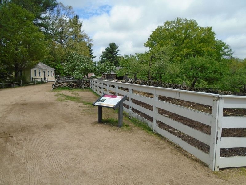
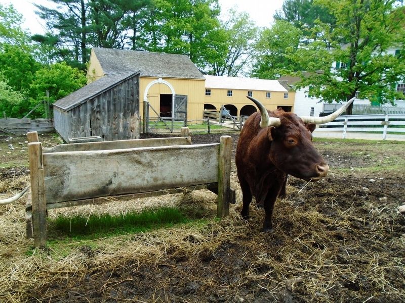
The Towne family farm was not all one neat property, but consisted of several pieces, some distant from each other. (Some farmers even owned and worked land in more than one town!) If it were all in one piece, the Towne family farm would be almost a mile long and half a mile wide. That is considerably larger than all of the Old Sturbridge Village property that you will see today! Use your imagination to envision such a large farm. It could support dozens of cattle, along with pigs, horses, chickens, and perhaps more than 100 sheep.
Erected by Old Sturbridge Village.
Topics. This historical marker is listed in these topic lists: Agriculture • Animals • Settlements & Settlers. A significant historical year for this entry is 1796.
Location. 42° 6.43′ N, 72° 5.841′ W.
this page online

Regionally, this marker is in the Quiet Corner and in Greater Worcester. It is also in the American Northeast and in New England. Globally, it is in North America, the Western Hemisphere, the Western World, and the Anglosphere. Historically, it finds itself in what was once one of the original Thirteen Colonies.
Other nearby markers. At least 8 other markers are within walking distance of this marker: The Architectural Style of the Salem Towne House (within shouting distance of this marker); Fitch House Yard (within shouting distance of this marker); The Fire Pit (about 400 feet away, measured in a direct line); Getting Water (about 500 feet away); Controlling Livestock: The Town Pound (about 500 feet away); Farming as a Way of Life (about 500 feet away); The Graveyard
Credits. This page was last revised on June 18, 2018. It was originally submitted on June 17, 2018, by William Fischer, Jr. of Reynoldsburg, Ohio. This page has been viewed 298 times since then and 31 times this year. Photos: 1, 2, 3. submitted on June 18, 2018, by William Fischer, Jr. of Reynoldsburg, Ohio.
