Freeman Farm
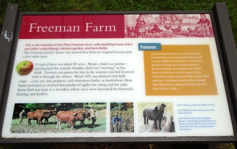
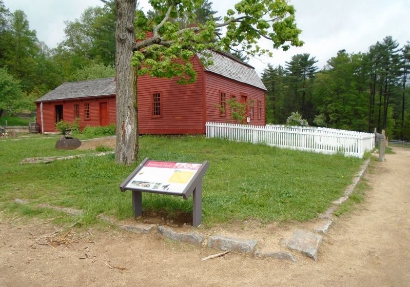
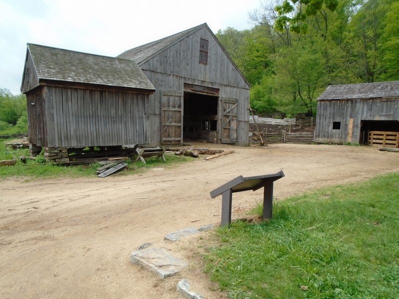
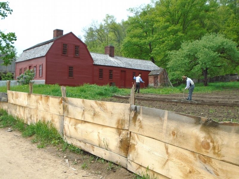
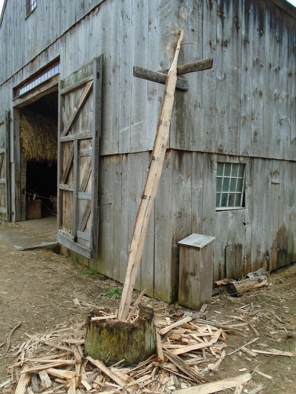
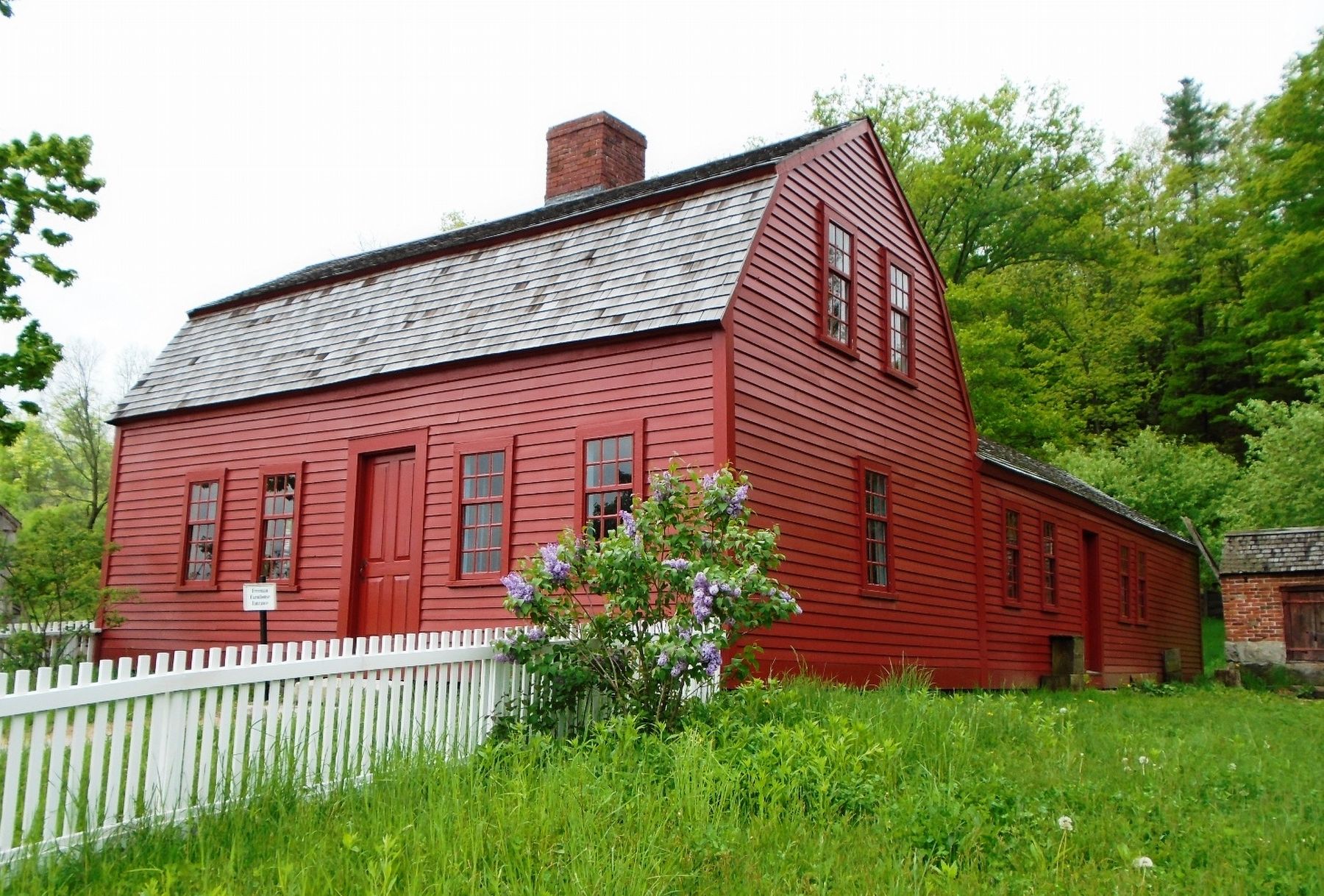
This is the homelot of the Pliny Freeman Farm, with dwelling house, barn, and other outbuildings, kitchen garden, and farm fields.
The Freeman family's house was moved here from its original location just a few miles away.
A typical farm was about 80 acres. About a third was pasture — grazing land for animals. Another third was "mowing" or hay fields. Farmers cut grasses for hay in the summer and fed livestock with it through the winter. About 10% was planted with field crops — corn, rye, oats, potatoes, and sometimes barley or buckwheat. Most farms included an orchard that produced apples for eating and for cider. Some land was kept as a woodlot, where trees were harvested for firewood, fencing, and lumber.
Fences
At the Freeman Farm you can see post and rail fences to control livestock and a much tighter board fence around the garden to keep out smaller animals. Surrounded by an ornamental picket fence at the front of the house is the dooryard, where roses or lilacs were often planted. Freeman family letters reveal that they built a dooryard fence for the first time in 1840.
[Photo captions read]
• (LEFT) Plowing with two yokes of oxen
• (LEFT MIDDLE) Harvesting corn at the Freeman Farm
• (LEFT RIGHT) Most New England farmers raised pigs, feeding them on kitchen
scraps and the skim milk and whey left over from making butter and cheese.Erected by Old Sturbridge Village.
Topics. This historical marker is listed in these topic lists: Agriculture • Settlements & Settlers. A significant historical year for this entry is 1840.
Location. 42° 6.232′ N, 72° 5.777′ W. Marker is in Sturbridge, Massachusetts, in Worcester County. Marker and farm are on the Old Sturbridge Village grounds. Touch for map. Marker is at or near this postal address: 1 Old Sturbridge Village Road, Sturbridge MA 01566, United States of America. Touch for directions.
Other nearby markers. At least 8 other markers are within walking distance of this marker. The Smokehouse (within shouting distance of this marker); Welcome to the Pasture Walk (within shouting distance of this marker); An Open Landscape (about 400 feet away, measured in a direct line); Brooks Pottery Kiln (about 600 feet away); Millstones (about 600 feet away); Today we see a different view. (about 800 feet away); Controlling Livestock: The Town Pound (approx. 0.2 miles away); The Graveyard (approx. 0.2 miles away). Touch for a list and map of all markers in Sturbridge.
Also see . . . Freeman Farm at Old Sturbridge Village. (Submitted on June 18, 2018, by William Fischer, Jr. of Scranton, Pennsylvania.)
Credits. This page was last revised on October 16, 2020. It was originally submitted on June 18, 2018, by William Fischer, Jr. of Scranton, Pennsylvania. This page has been viewed 357 times since then and 61 times this year. Photos: 1, 2, 3, 4, 5, 6. submitted on June 18, 2018, by William Fischer, Jr. of Scranton, Pennsylvania.
