Downtown in San Antonio in Bexar County, Texas — The American South (West South Central)
Flooding & Dams
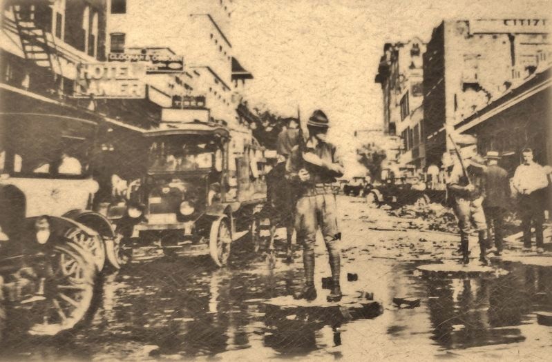
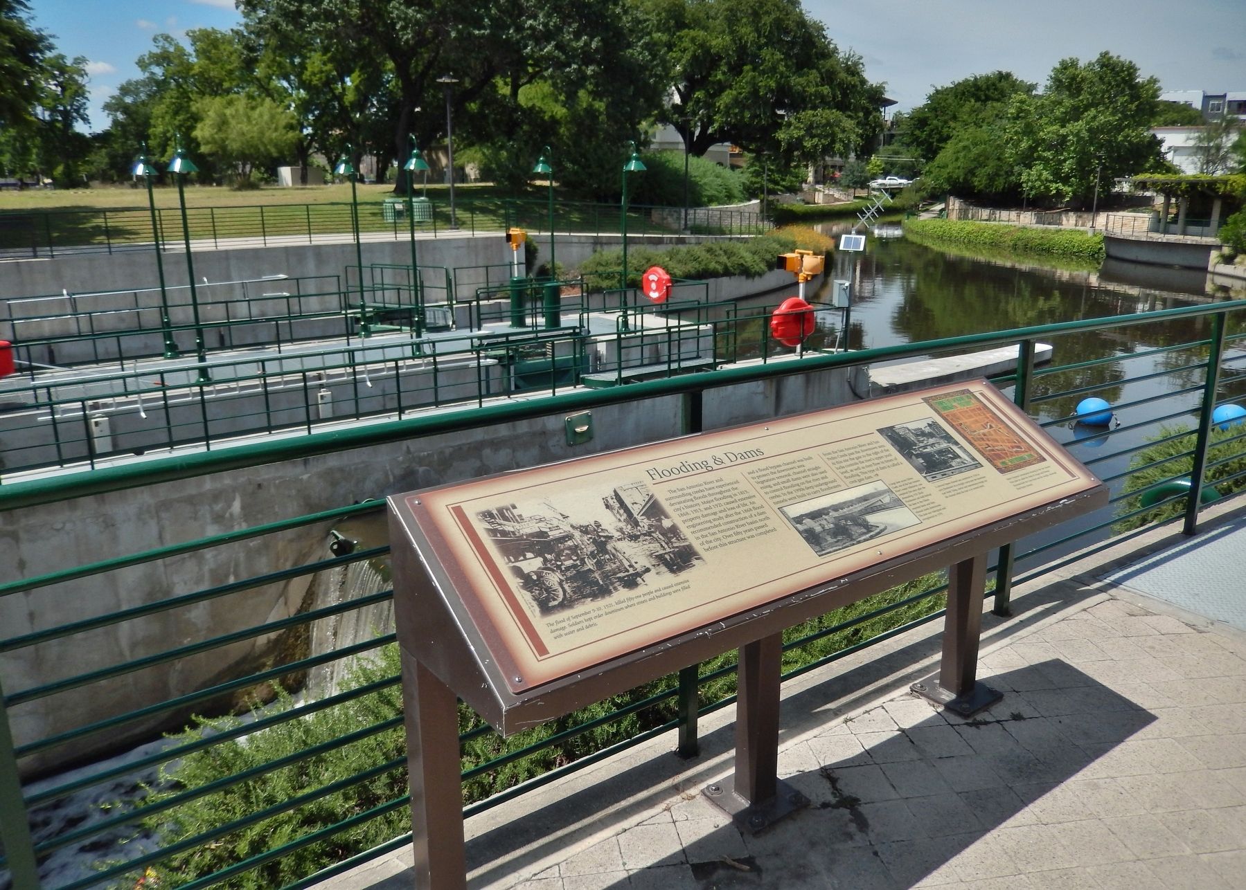
The San Antonio River and surrounding creeks have experienced devastating floods throughout the city's history. Major flooding in 1819, 1868, 1913, and 1921 caused extensive property damage and loss of life. An engineering study after the 1868 flood recommended construction of a dam in the San Antonio River basin north of the city. Over fifty years passed before this structure was completed and a flood bypass channel was built to protect the downtown area.
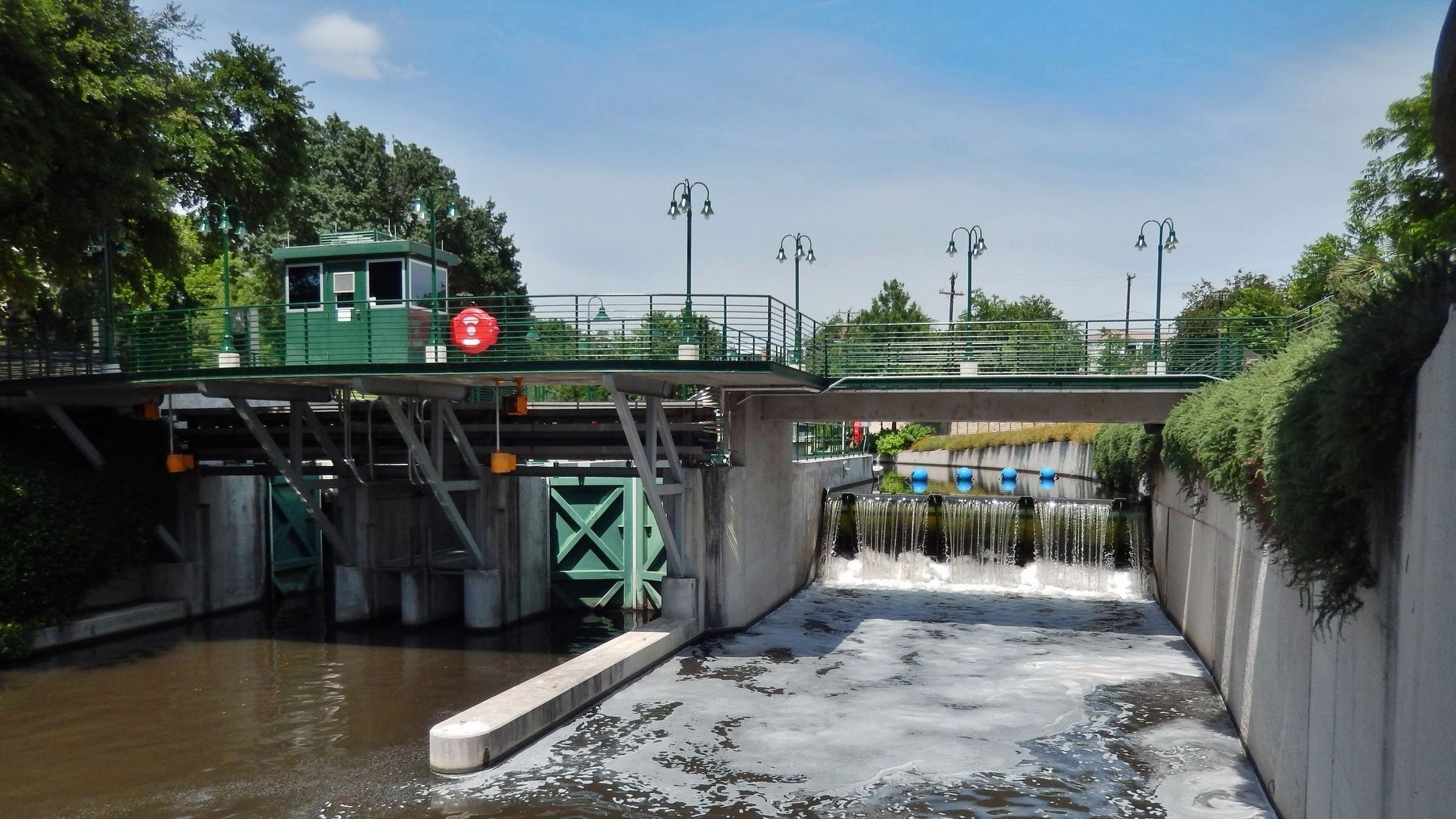
Vegetation removal, channel straightening, and small dams were also used to control flooding on the river and creeks. In the 1990s deep underground tunnels were built to carry floodwaters from the San Antonio River and San Pedro Creek past the downtown area. At this site the gate to the right of the locks controls the river's upper pool level, as well as river flow in times of flooding. This type of dam is called a crest gate dam.
Topics. This historical marker is listed in these topic lists: Disasters • Man-Made Features • Waterways & Vessels.
Location. 29° 26.008′ N, 98° 29.072′ W. Marker is in San Antonio, Texas, in Bexar County. It is in Downtown. Marker can be reached from Brooklyn Avenue north of Avenue B, on the right when traveling north. Marker is located on the San Antonio River Walk, overlooking the Brooklyn Avenue Locks. Marker can be accessed via a short walk from the 709 Avenue B Parking lot. Touch for map. Marker is at or near this postal address: 709 Avenue B, San Antonio TX 78215, United States of America. Touch for directions.
Other nearby markers. At least 8 other markers are within walking distance of this marker. Locks & Dams (within shouting distance of this marker); O. Scott Petty (approx. 0.2 miles away); Petty House (approx. 0.2 miles away); Central Catholic High School (approx. ¼ mile away); The River in the 1800's (approx. ¼ mile away); River Communities (approx. ¼ mile away); The River in the 1900s (approx. ¼ mile away); The San Antonio River (approx. ¼ mile away). Touch for a list and map of all markers in San Antonio.
Also see . . .
1. San Antonio River. Wikipedia entry (Submitted on October 18, 2022, by Larry Gertner of New York, New York.)
2. San Antonio Flood Management. San Antinio River Authority website entry:
Flooding has plagued the San Antonio River Basin for generations. As recent as 2015, this region has experienced major flooding. Its effects, flooding in the Upper San Antonio River watershed, are typically felt throughout Bexar, Wilson, Karnes and Goliad counties. (Submitted on June 20, 2018, by Cosmos Mariner of Cape Canaveral, Florida.)
3. Olmos Dam. San Antonio River Authority website entry:
The 75-year-old dam keeps up to 5.1 billion gallons of water from rushing through downtown when rainfall overwhelms the Olmos Creek watershed. Rainfall
in the watershed below the dam runs into the San Antonio River. Before reaching downtown, floodwaters are diverted to the river through a tunnel. (Submitted on June 20, 2018, by Cosmos Mariner of Cape Canaveral, Florida.)
4. Solution to downtown flooding giant, invisible. San Antonio Express-News website entry:
A 24-foot wide tunnel runs deep under downtown San Antonio, bored over a span of more than 10 years and finished in 1996. The tunnel operates as a flood-control canal, catching water from an overflowing San Antonio River before the floods reach downtown and carrying the water safely under the city. (Submitted on June 20, 2018, by Cosmos Mariner of Cape Canaveral, Florida.)
Courtesy Maverick Publishing Co. San Antonio, May 21, 2018
3. Marker detail: Olmos Creek Dam
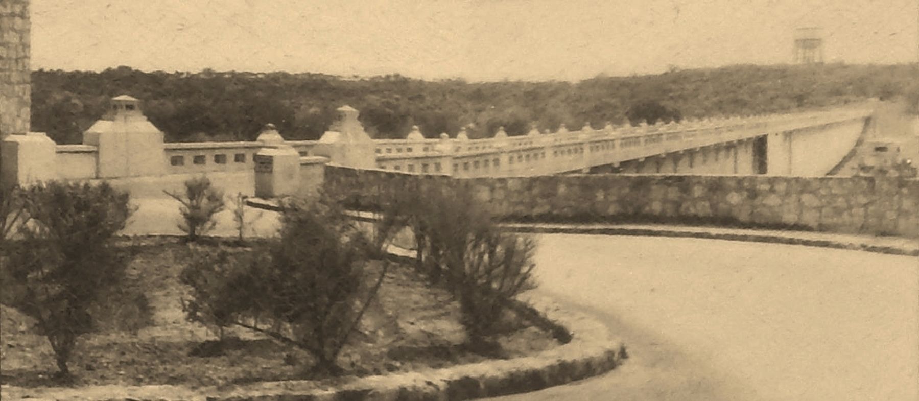
A large dam across Olmos Creek, one of the San Antonio River's major tributaries, was completed five years after the devastating 1921 flood. Floodwaters are held behind the dam in the Olmos retention basin and then released slowly downstream. The dam was redesigned and strengthened in 1979.
Courtesy Freese & Nichols, Inc., Fort Worth, May 21, 2018
4. Marker detail: 1930 bypass channel
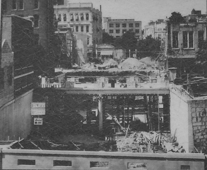
A concrete bypass channel was completed in 1930 to carry floodwaters in a straight course past the downtown river bend. Today, tourist and maintenance barges use the channel when the river is at normal levels.
Credits. This page was last revised on February 10, 2024. It was originally submitted on June 20, 2018, by Cosmos Mariner of Cape Canaveral, Florida. This page has been viewed 345 times since then and 33 times this year. Photos: 1, 2, 3, 4, 5, 6. submitted on June 20, 2018, by Cosmos Mariner of Cape Canaveral, Florida. 7. submitted on June 27, 2018, by Cosmos Mariner of Cape Canaveral, Florida. • Andrew Ruppenstein was the editor who published this page.

