Monroe in Benton County, Oregon — The American West (Northwest)
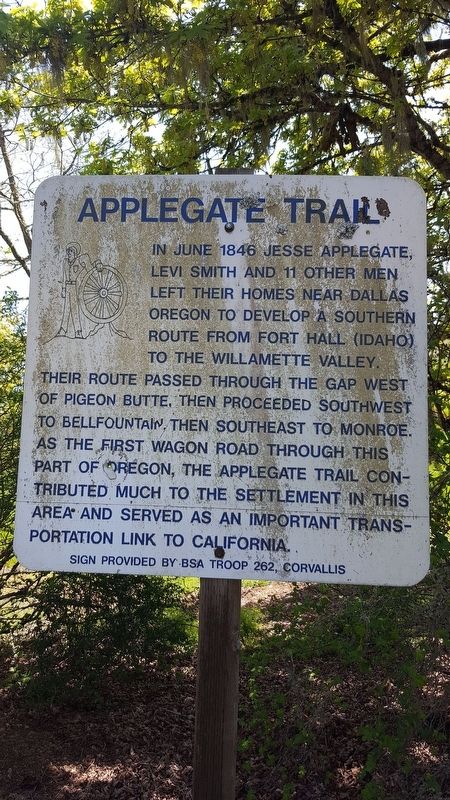
Applegate Trail
Erected by BSA Troop 262, Corvallis.
Topics and series. This historical marker is listed in these topic lists: Roads & Vehicles • Settlements & Settlers. In addition, it is included in the Applegate Trail series list. A significant historical month for this entry is June 1846.
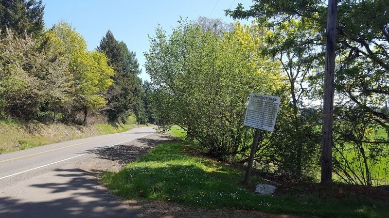
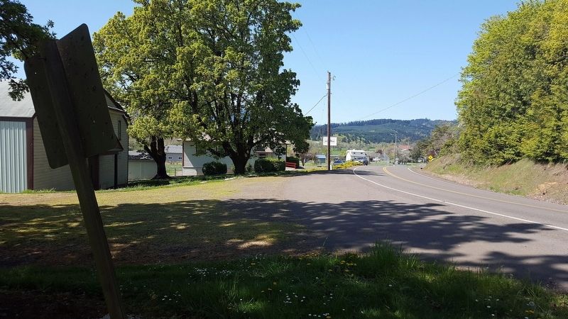
Location. 44° 21.761′ N, 123° 21.172′ W. Marker is in Monroe, Oregon, in Benton County. Marker is on Dawson Rd, on the right when traveling east. Touch for map. Marker is in this post office area: Monroe OR 97456, United States of America. Touch for directions.
Other nearby markers. At least 8 other markers are within 13 miles of this marker, measured as the crow flies. Ebenezer Schoolhouse (approx. 3.3 miles away); a different marker also named The Applegate Trail (approx. 4.3 miles away); The Belknap Settlement (approx. 4.3 miles away); Wilhelm Mill Water Wheel (approx. 4˝ miles away); “The Struggle Has Ended” (approx. 10.8 miles away); Mt. Union Cemetery (approx. 12.1 miles away); Reuben and Mary Jane Shipley (approx. 12.2 miles away); Historic Philomath College Building (approx. 12.3 miles away). Touch for a list and map of all markers in Monroe.
Related marker. Click here for another marker that is related to this marker.
Credits. This page was last revised on June 22, 2018. It was originally submitted on June 21, 2018, by Douglass Halvorsen of Klamath Falls, Oregon. This page has been viewed 299 times since then and 42 times this year. Photos: 1, 2, 3. submitted on June 21, 2018, by Douglass Halvorsen of Klamath Falls, Oregon. • Bill Pfingsten was the editor who published this page.


