
Pipestone in Pipestone County, Minnesota — The American Midwest (Upper Plains)
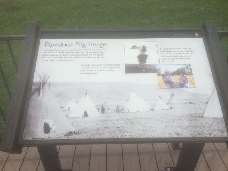
Pipestone Pilgrimage
Photographed by Ruth VanSteenwyk, June 20, 2018
1. Pipestone Pilgrimage Marker
Many people have a strong spiritual bond with this land. American Indians have used this prairie for thousands of years carrying out their spiritual traditions on what they believe is sacred ground. Each year tribal people from across the country travel long distances to reconnect with this land and participate in sacred ceremonies.
Man understands that he is obligated in certain ways to the landscape, that he is responsible for it, that he shares in the spirit of the place.
N. Scott Momaday, author
It's spiritual for me. When I come here I make offerings, say prayers, give thanks. A lot of sacred things are done here…It's very respectful. People who come here respect this land, this mother earth.
Richard Lee, quarrier
Erected by National Park Service, U.S. Department of the Interior.
Topics. This historical marker is listed in these topic lists: Indigenous Peoples and Communities • Religion & Religious Structures.
Location. 44° 0.814′ N, 96° 19.565′ W. Marker is in Pipestone, Minnesota, in Pipestone County. It is on Reservation Ave. Located
this page online

Regionally, this marker is in Southwest Minnesota. It is also in the American Midwest, in the Corn Belt, and on the Great Plains. Globally, it is in North America, the Western Hemisphere, the Western World, and the Anglosphere. Historically, it finds itself in what was once Rupert’s Land, the territory of the Mississippian Culture, and the Louisiana Purchase.
Other nearby markers. At least 8 other markers are within walking distance of this marker: Sustaining the Sacred (here, next to this marker); Connection to the Earth Mother (here, next to this marker); Quarry Layers (about 300 feet away, measured in a direct line); Spotted Pipestone Quarry (about 500 feet away); Pipestone Creek (about 700 feet away); Prairie: Past and Present (approx. 0.2 miles away); The J.N. Nicollet Expedition Of 1838 (approx. 0.3 miles away); Nicollet's Inscription (approx. 0.3 miles away). Touch for a list and map of all markers in Pipestone.
Related markers.
Photographed by Ruth VanSteenwyk, June 20, 2018
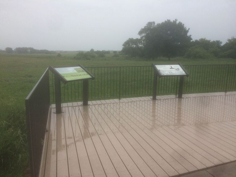
2. Pipestone Pilgrimage Marker
Also see . . .
1. Pipestone National Monument Cultural Landscape. National Park Service website entry (Submitted on June 22, 2018, by Ruth VanSteenwyk of Aberdeen, South Dakota.)
2. Pipestone National Monument. Wikipedia entry:
Links to National Register of Historic Places Nomination Form (Submitted on May 25, 2024, by Larry Gertner of New York, New York.)

Photographed by Ruth VanSteenwyk, June 20, 2018
3. Pipestone National Monument Visitor Center
via NPS, 2012
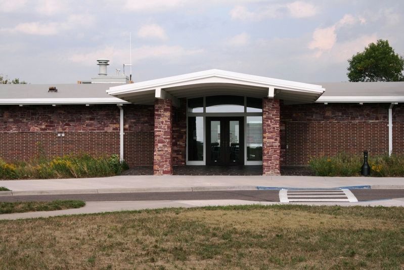
4. Pipestone National Monument Visitor Center
Credits. This page was last revised on December 12, 2024. It was originally submitted on June 21, 2018, by Ruth VanSteenwyk of Aberdeen, South Dakota. This page has been viewed 342 times since then and 17 times this year. Photos: 1, 2. submitted on June 21, 2018, by Ruth VanSteenwyk of Aberdeen, South Dakota. 3. submitted on June 22, 2018, by Ruth VanSteenwyk of Aberdeen, South Dakota. 4. submitted on May 25, 2024, by Larry Gertner of New York, New York. • Andrew Ruppenstein was the editor who published this page.
