Pipestone in Pipestone County, Minnesota — The American Midwest (Upper Plains)
Quarry Layers
Photographed by Ruth VanSteenwyk, June 20, 2018
1. Quarry Layers Marker
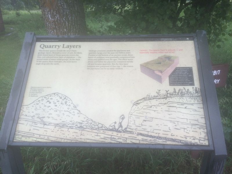
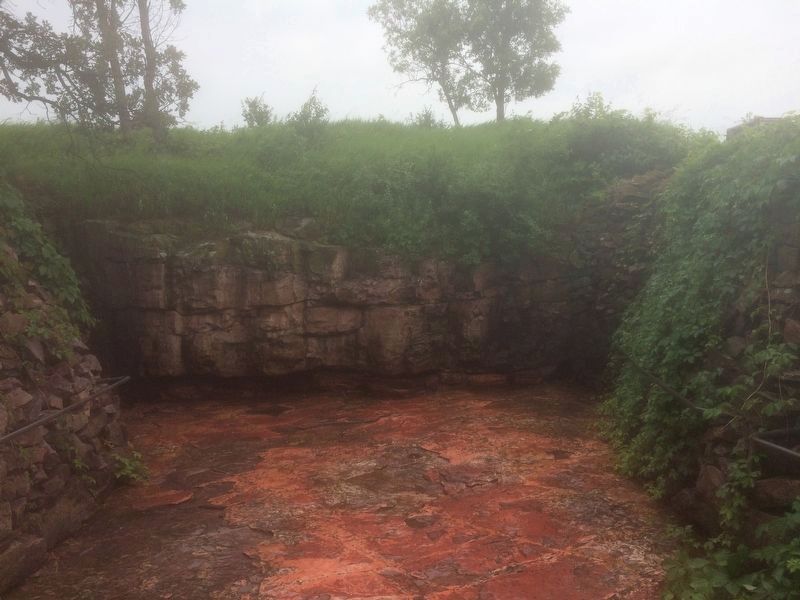
This former quarry reveals the area's basic geologic layers. Beneath a cover of soil, the thick, pink-tinted layer of Sioux quartzite covers the tin, red-colored lower layer of pipestone - the prized stone of many tribal groups. As the slant of the quarry floor indicates, the rock layers angle deep into the earth.
Geologic pressures created the pipestone and quartzite layers over the past one billion years. Formed at the bottom of an ancient ocean, these layers of sediment were gradually compressed into stone and uplifted over the ages. The thick layers above and below the pipestone contained mostly silt and became quartzite. But the thin layer between was composed of fine clay - the reason the pipestone can be so easily worked.
The quartzite and pipestone layers visible here - and another thick layer of quartzite below them - dip toward the east at a 5-10 degree angle. As pipestone quarrying continues, an ever increasing quantity of the upper quartzite must be removed.
Erected by Pipestone National Monument, National Park Service, & US Department of the Interior.
Topics. This historical marker is
this page online
Location. 44° 0.785′ N, 96° 19.501′ W. Marker is in Pipestone, Minnesota, in Pipestone County. It is on Reservation Ave. Located near the Pipestone National Monument Visitor Center. Touch for map. Marker is at or near this postal address: 87 Reservation Ave, Pipestone MN 56164, United States of America. Touch for directions.

Regionally, this marker is in Southwest Minnesota. It is also in the American Midwest, in the Corn Belt, and on the Great Plains. Globally, it is in North America, the Western Hemisphere, the Western World, and the Anglosphere. Historically, it finds itself in what was once Rupert’s Land, the territory of the Mississippian Culture, and the Louisiana Purchase.
Other nearby markers. At least 8 other markers are within walking distance of this marker: Connection to the Earth Mother (about 300 feet away, measured in a direct line); Pipestone Pilgrimage (about 300 feet away); Sustaining the Sacred (about 300 feet away); Prairie: Past and Present (about 600 feet away); Pipestone Creek (about 600 feet
Photographed by Ruth VanSteenwyk, June 20, 2018
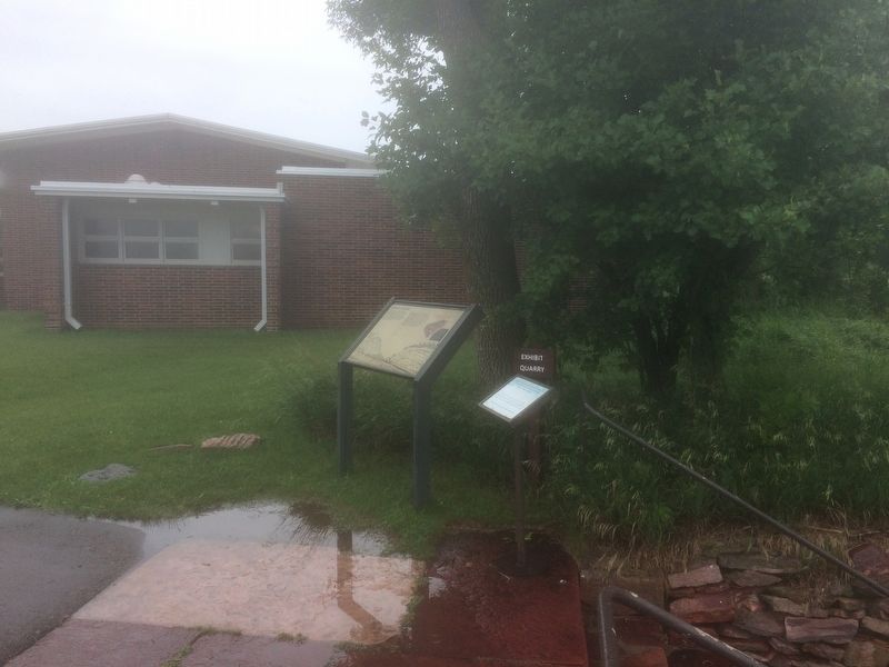
2. Quarry Layers Marker
Related markers. Click here for a list of markers that are related to this marker.

Photographed by William Fischer, Jr., September 16, 2026
3. Exhibit Quarry Near Marker
Photographed by Ruth VanSteenwyk, June 20, 2018
4. Exhibit Quarry

Photographed by William Fischer, Jr., September 16, 2026
5. Exhibit Quarry

Photographed by Ruth VanSteenwyk, June 20, 2018
6. Pipestone National Monument Visitor Center
Credits. This page was last revised on September 26, 2026. It was originally submitted on June 22, 2018, by Ruth VanSteenwyk of Aberdeen, South Dakota. This page has been viewed 352 times since then and 31 times this year. Photos: 1, 2. submitted on June 22, 2018, by Ruth VanSteenwyk of Aberdeen, South Dakota. 3. submitted on September 26, 2026, by William Fischer, Jr. of Reynoldsburg, Ohio. 4. submitted on June 22, 2018, by Ruth VanSteenwyk of Aberdeen, South Dakota. 5. submitted on September 26, 2026, by William Fischer, Jr. of Reynoldsburg, Ohio. 6. submitted on June 22, 2018, by Ruth VanSteenwyk of Aberdeen, South Dakota. • Andrew Ruppenstein was the editor who published this page.
