Porterville in Tulare County, California — The American West (Pacific Coastal)
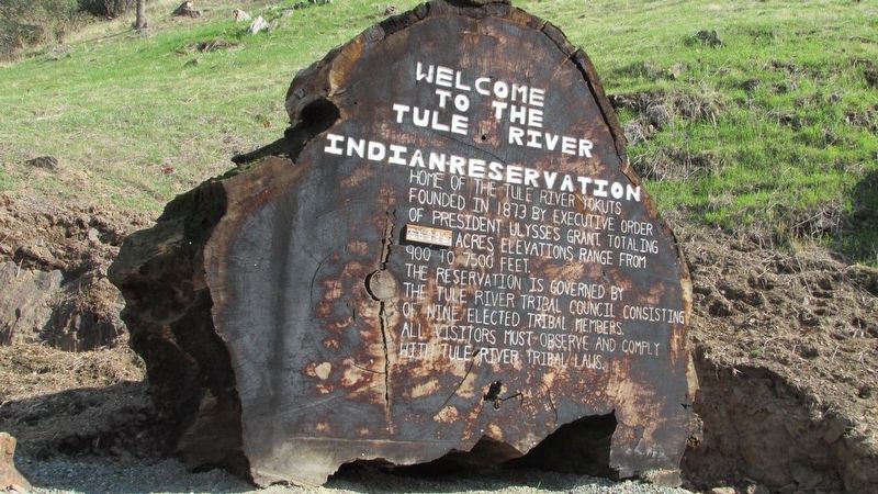
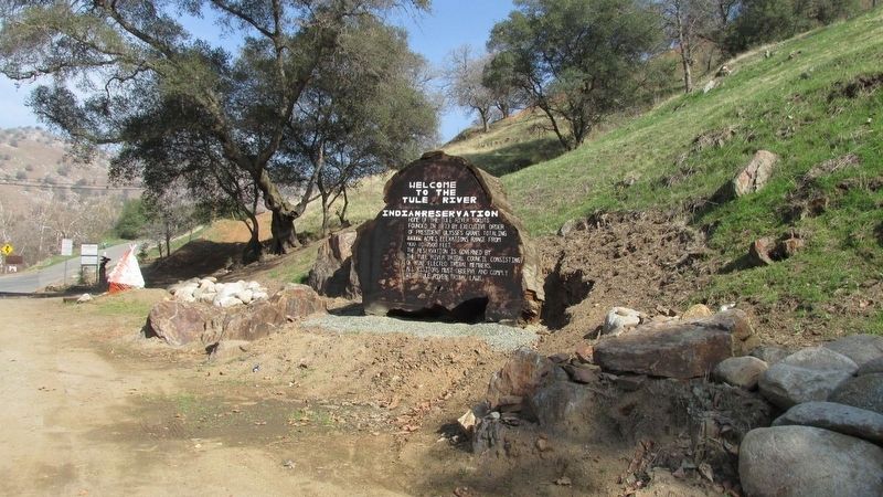
Welcome to the Tule River Indian-Reservation
Inscription.
Home of the Tule River Yokuts, founded in 1873 by Executive Order of President Ulysses Grant. Totaling 56,396 acres, elevation range from 900 to 7,500 feet.
The reservation is governed by the Tule River Tribal Council consisting of nine elected tribal members. All visitors must observe and comply with Tule River Tribal Laws.
Topics and series. This historical marker is listed in this topic list: Native Americans. In addition, it is included in the Former U.S. Presidents: #18 Ulysses S. Grant series list. A significant historical year for this entry is 1873.
Location. 36° 1.246′ N, 118° 49.218′ W. Marker is in Porterville, California, in Tulare County. Marker is on N Reservation Drive, on the right when traveling north. Touch for map. Marker is at or near this postal address: N Reservation Drive, Porterville CA 93257, United States of America. Touch for directions.
Other nearby markers. At least 8 other markers are within 11 miles of this marker, measured as the crow flies. Tule River Indian Reservation (here, next to this marker); Citrus South Tule School (approx. 5.1 miles away); Treaty of 1851 (approx. 6 miles away); Daunt (approx. 7.1 miles away); a different marker also named Tule River Indian Reservation (approx. 8.6 miles away); The Original Walker Pass (approx. 9.3 miles away); "El Cojo" (approx. 10.4 miles away); Fountain Springs (approx. 10.4 miles away). Touch for a list and map of all markers in Porterville.
Credits. This page was last revised on June 27, 2018. It was originally submitted on June 23, 2018, by Denise Boose of Tehachapi, California. This page has been viewed 388 times since then and 26 times this year. Photos: 1, 2, 3. submitted on June 23, 2018, by Denise Boose of Tehachapi, California. • Andrew Ruppenstein was the editor who published this page.


