Near Mount Pleasant in Titus County, Texas — The American South (West South Central)
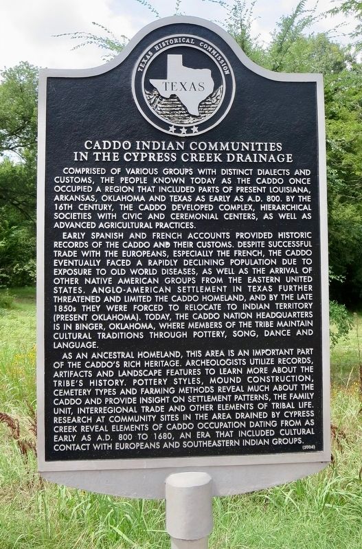
Caddo Indian Communities in the Cypress Creek Drainage
Inscription.
Comprised of various groups with distinct dialects and customs, the people known today as the Caddo once occupied a region that included parts of present Louisiana, Arkansas, Oklahoma and Texas as early as A.D. 800. By the 16th century, the Caddo developed complex, hierarchical societies with civic and ceremonial centers, as well as advanced agricultural practices.
Early Spanish and French accounts provided historic records of the Caddo and their customs. Despite successful trade with the Europeans, especially the French, the Caddo eventually faced a rapidly declining population due to exposure to Old World diseases, as well as the arrival of other Native American groups from the eastern United States. Anglo-American settlement in Texas further threatened and limited the Caddo homeland, and by the late 1850s they were forced to relocate to Indian Territory (present Oklahoma). Today, the Caddo nation headquarters is in Binger, Oklahoma, where members of the tribe maintain cultural traditions through pottery, song, dance and language.
As an ancestral homeland, this area is an important part of the Caddo's rich heritage. Archeologists utilize records, artifacts and landscape features to learn more about the tribe's history. Pottery styles, mound construction, cemetery types and farming methods reveal much about the Caddo and provide insight on settlement patterns, the family unit, interregional trade and other elements of tribal life. Research at community sites in the area drained by Cypress Creek reveal elements of Caddo occupation dating from as early as A.D. 800 to 1680, an era that included cultural contact with Europeans and Southeastern Indian groups.
Erected 2004 by Texas Historical Commission. (Marker Number 13068.)
Topics. This historical marker is listed in these topic lists: Native Americans • Settlements & Settlers. A significant historical year for this entry is 1680.
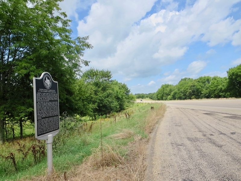
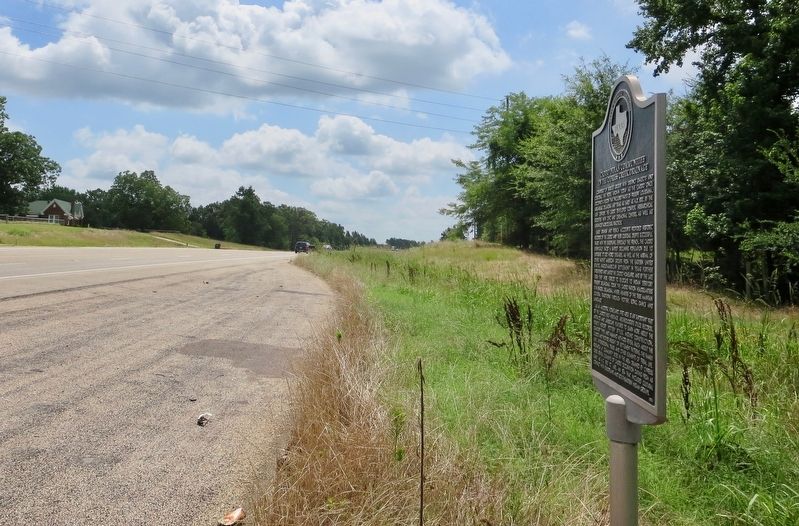
Location. 33° 6.971′ N, 94° 51.416′ W. Marker is near Mount Pleasant, Texas, in Titus County. Marker is on Texas Route 49, 0.7 miles south of County Road 4840, on the right when traveling south. Touch for map. Marker is at or near this postal address: 6684 TX-49, Mount Pleasant TX 75455, United States of America. Touch for directions.
Other nearby markers. At least 8 other markers are within 7 miles of this marker, measured as the crow flies. Site of Valley View School (approx. 2.9 miles away); Snow Hill Baptist Church (approx. 3.1 miles away); Snow Hill Cemetery (approx. 3.2 miles away); Concord Meeting House (approx. 4.9 miles away); Titus County (approx. 5.2 miles away); Dellwood Park (approx. 6.3 miles away); Titus County Confederate Monument (approx. 7.1 miles away); Titus County C.S.A. (approx. 7.1 miles away). Touch for a list and map of all markers in Mount Pleasant.
Also see . . . Texas State Historical Association article on the Caddo Indians. (Submitted on June 26, 2018, by Mark Hilton of Montgomery, Alabama.)
Credits. This page was last revised on June 26, 2018. It was originally submitted on June 26, 2018, by Mark Hilton of Montgomery, Alabama. This page has been viewed 697 times since then and 122 times this year. Photos: 1, 2, 3. submitted on June 26, 2018, by Mark Hilton of Montgomery, Alabama.


