Near Sulphur Springs in Hopkins County, Texas — The American South (West South Central)
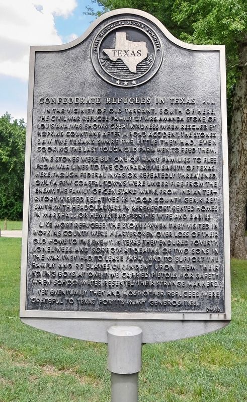
Confederate Refugees in Texas, C. S. A.
The Stones were but one of many families to flee from war lines to the comparative safety of Texas. Here, though Federal invasion repeatedly threatened, only a few coastal towns were under fire from the enemy. The family of Gen. Stand Watie, from Indian Territory, visited relatives in Wood County. Gen. Kirby Smith, with headquarters in Shreveport, rented homes in Marshall or Hempstead for his wife and babies.
Like most refugees, the Stones when they visited in Hopkins County were heartbroken over loss of their old home to the enemy. In Texas they endured poverty, loneliness, and sorrow at deaths of two sons in the war. They had to lease farm land, to support the family and 90 slaves dependent upon them. Their young boys at one time carried pistols for safety when schoolmates resented their strange manners. Yet eventually they and most other refugees were grateful to Texas for its many generosities.
Erected 1965 by State Historical Survey Committee. (Marker Number 7305.)
Topics. This historical marker is listed in this topic list: War, US Civil.
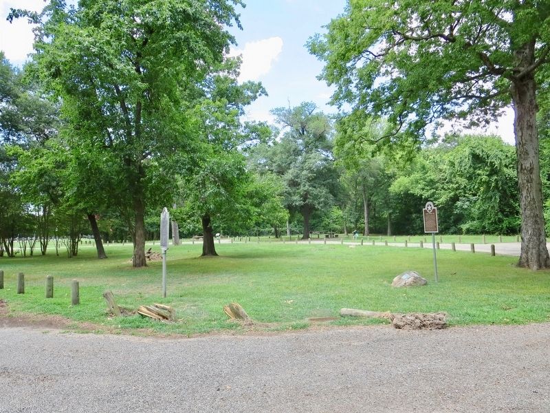
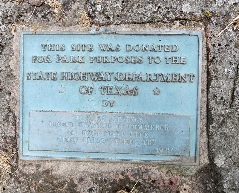
Location. 33° 14.637′ N, 95° 35.057′ W. Marker is near Sulphur Springs, Texas, in Hopkins County. Marker is on Texas Route 154 near County Road 4764, on the right when traveling north. Located within a Texas State Highway Department roadside park about 5 miles north of Sulphur Springs. Touch for map. Marker is in this post office area: Sulphur Springs TX 75482, United States of America. Touch for directions.
Other nearby markers. At least 8 other markers are within 8 miles of this marker, measured as the crow flies. Historic Roadside Park (here, next to this marker); Townsite of Tarrant (approx. 3.1 miles away); Sulphur Springs Volunteer Fire Department and Fire Bell of 1889 (approx. 7 miles away); George and Myra Wilson (approx. 7.1 miles away); Hopkins County Echo-Daily News-Telegram (approx. 7.2 miles away); First United Methodist Church of Sulphur Springs (approx. 7.3 miles away); Sulphur Springs Loan and Building Association (approx. 7.3 miles away); First Christian Church (approx. 7.4 miles away). Touch for a list and map of all markers in Sulphur Springs.
Additional keywords. Confederate Refugees in Texas, C. S. A.
Credits. This page was last revised on June 27, 2018. It was originally submitted on June 27, 2018, by Mark Hilton of Montgomery, Alabama. This page has been viewed 421 times since then and 43 times this year. Photos: 1, 2, 3. submitted on June 27, 2018, by Mark Hilton of Montgomery, Alabama.


