Near Sart in Salihli, Manisa, Turkey — West Asia or Southeast Europe
Synagogue
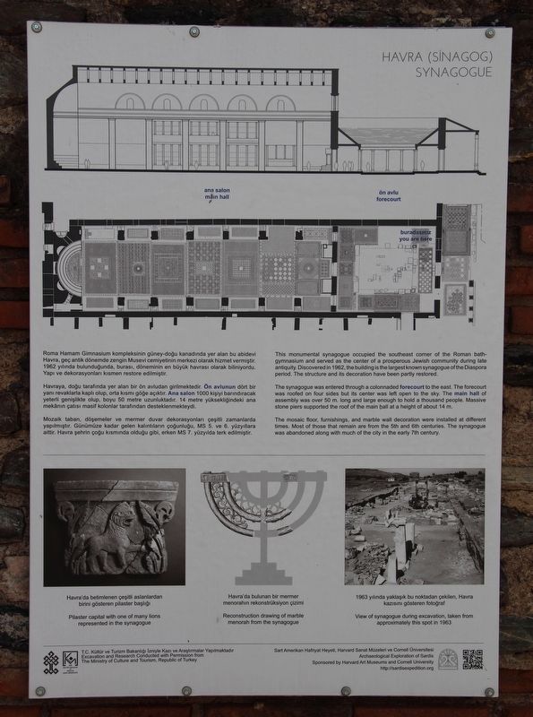
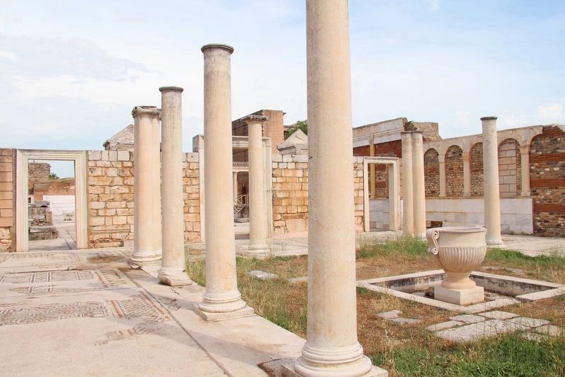
This monumental synagogue occupied the southeast corner of the Roman bath-gymnasium and served as the center of a prosperous Jewish community during late antiquity. Discovered in 1962, the building is the largest known synagogue of the Diaspora period. The structure and its decoration have been partly restored.
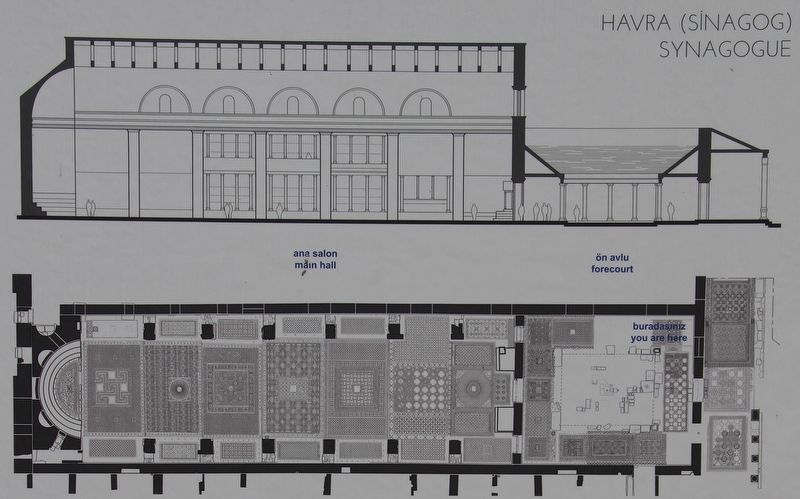
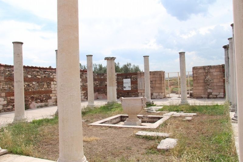
The synagogue was entered through a colonnaded forecourt to the east. The forecourt was roofed on four sides but its center was left open to the sky. The main hall of assembly was over 50 meters long and large enough to hold a thousand people. Massive stone piers supported the roof of the main hall at a height of about 14 meters.
The mosaic floor, furnishings, and marble wall decoration were installed at different times. Most of those that remain are from the 5th and 6th centuries. The synagogue was abandoned along with much of the city in the early 7th century.
-
Havraya, doğu tarafında yer alan bir ön avludan girilmektedir. Ön avlunun dört bir yanı revaklarla kaplı olup, orta kısmı göğe açıktır. Ana salon 1000 kişiyi barındıracak yeterli genişlikte olup, boyu 50 metre uzunluktadır. 14 metre yüksekliğindeki ana mekânın çatısı masif kolonlar tarafından desteklenmekteydi.
Mozaik taban, döşemeler ve mermer duvar dekorasyonları çeşitli zamanlarda yapılmıştır. Günümüze kadar gelen kalıntıların çoğunluğu, MS 5. ve 6. yüzyıllara aittir. Havra şehrin çoğu kısmında olduğu gibi, erken MS 7. yüzyılda terk edilmiştir.
Erected by The Ministry of Culture and Tourism, Republic of Turkey, and the Harvard Art Museums and Cornell University.
Topics. This historical marker is listed in these topic lists: Churches & Religion • Parks & Recreational Areas. A significant historical year for this entry is 1962.
Location. 38° 29.282′ N, 28° 2.444′ E. Marker is near Sart, Manisa, in Salihli
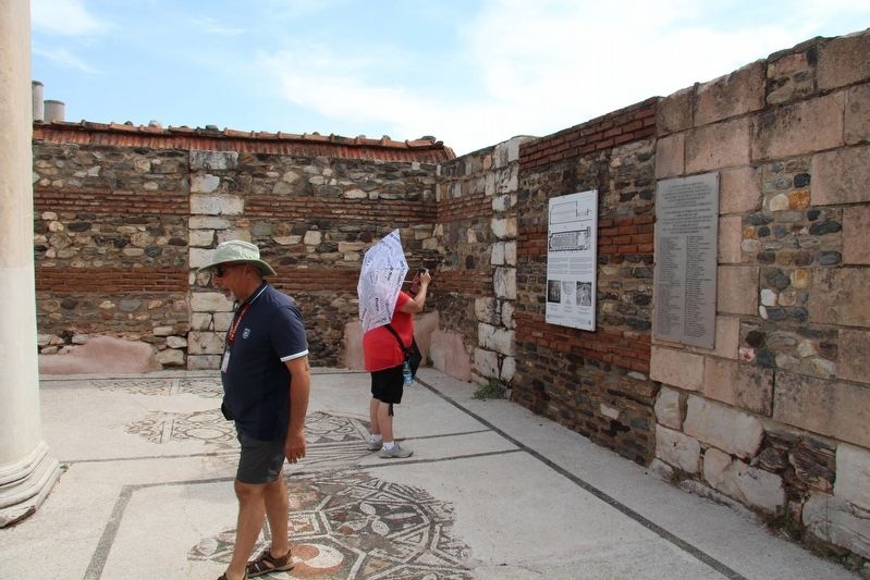
. Marker can be reached from Kenan Evren Cd. just east of Sart Yolu, on the left when traveling east. This marker is on the grounds of the Sardis Archaeological Park, near the Roman Bath-Gymnasium and affixed to the inside walls of the Synagogue. Touch for map. Marker is in this post office area: Sart, Manisa 45370, Turkey. Touch for directions.
Other nearby markers. At least 8 other markers are within walking distance of this marker. Synagogue Forecourt (a few steps from this marker); Synagogue - Main Hall (within shouting distance of this marker); Bath-Gymnasium Complex (within shouting distance of this marker); (Yakub'un) Boya Dükkáni / (Jacob's) Paint Shop (within shouting distance of this marker); Mesken / Residence (within shouting distance of this marker); Roman Avenue (about 90 meters away, measured in a direct line); Lokantalar / Restaurants (about 90 meters away); Boya Dükkán / Paint Shop (about 120 meters away). Touch for a list and map of all markers in Sart.
Credits. This page was last revised on August 7, 2023. It was originally submitted on June 27, 2018, by Dale K. Benington of Toledo, Ohio. This page has been viewed 123 times since then and 8 times this year. Photos: 1, 2, 3, 4, 5. submitted on June 28, 2018, by Dale K. Benington of Toledo, Ohio.
