Near Las Animas in Bent County, Colorado — The American Mountains (Southwest)
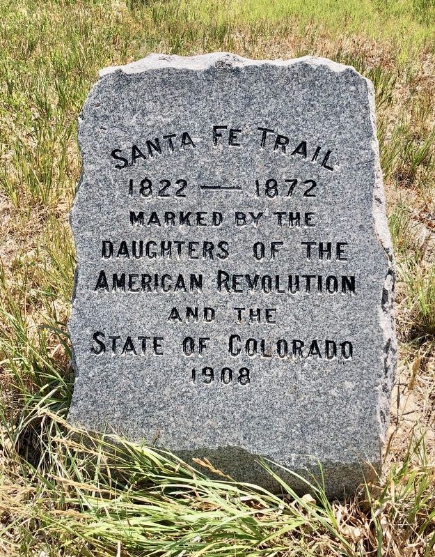
Santa Fe Trail
1822 — 1872
Erected 1908 by Daughters of the American Revolution and the State of Colorado.
Topics and series. This historical marker is listed in these topic lists: Exploration • Roads & Vehicles. In addition, it is included in the Daughters of the American Revolution, and the Santa Fe Trail series lists.
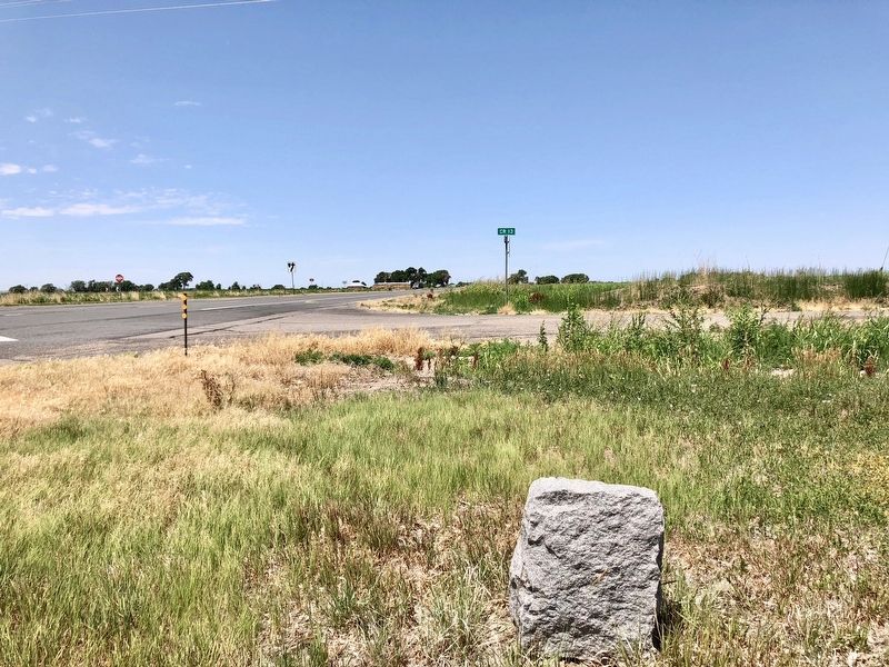
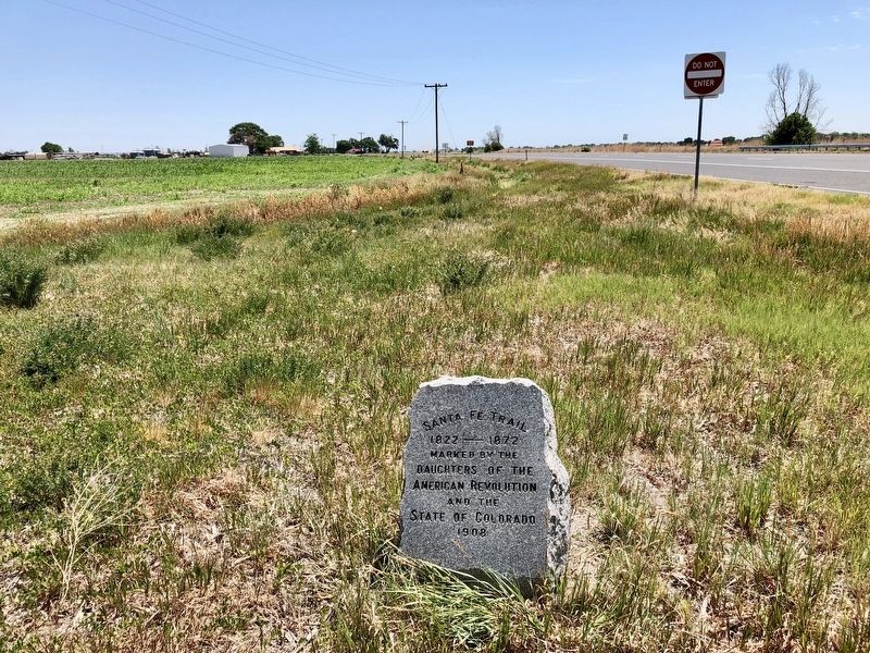
Location. 38° 5.303′ N, 103° 10.739′ W. Marker is near Las Animas, Colorado, in Bent County. Marker is at the intersection of U.S. 50 and County Road 13, on the right when traveling west on U.S. 50. Touch for map. Marker is in this post office area: Las Animas CO 81054, United States of America. Touch for directions.
Other nearby markers. At least 4 other markers are within 4 miles of this marker, measured as the crow flies. Welcome to Bent County (approx. 2.8 miles away); Welcome to Boggsville (approx. 3.6 miles away); From Trail to Town (approx. 3.6 miles away); Boggsville (approx. 3.7 miles away).
More about this marker. This marker was moved from its original site in the Caddoa Creek area when the dam for John Martin Reservoir was being constructed.
Also see . . . Significance of the Mountain Branch of the Santa Fe Trail. (Submitted on June 27, 2018, by Mark Hilton of Montgomery, Alabama.)
Credits. This page was last revised on June 27, 2018. It was originally submitted on June 27, 2018, by Mark Hilton of Montgomery, Alabama. This page has been viewed 335 times since then and 20 times this year. Photos: 1, 2, 3. submitted on June 27, 2018, by Mark Hilton of Montgomery, Alabama.


