
Riggins in Idaho County, Idaho — The American West (Mountains)
The Scow
Captain Guleke’s Whitewater Raft
| — | Salmon River Heritage Waking Tour | — |
Photographed by Barry Swackhamer, May 4, 2018
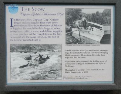
1. The Scow Marker
Captions: (bottom left) Guleke, shown here in China Rapids, floated almost the entire length of the Salmon River in 1935.; (top right) Cap Guleke in 1935 on his 30-foot long and 80foot wide scow.
Guleke operated annual, or semi-annual passenger trips down the Salmon River, sometimes charging $1,000 per person. He continued to make these trips well into the 1930s.
Cap Guleke truly pioneered the thrilling sport of whitewater rafting on the Salmon, the River of No Return.
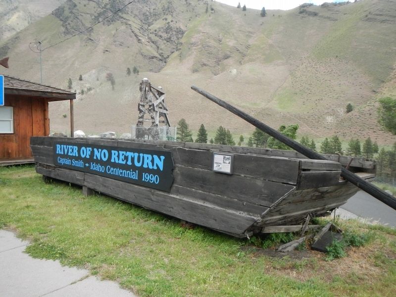
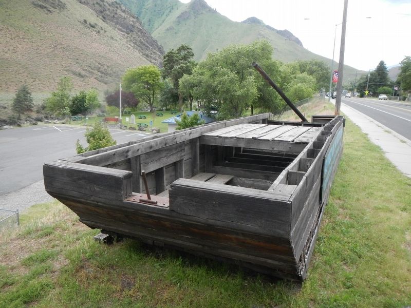
This replica of Guleke’s scow was built for the Idaho Bicentennial in 1990.
Erected by City of Riggins.
Topics. This historical marker is listed in this topic list: Waterways & Vessels.
Location. 45° 25.47′ N, 116° 18.78′ W. Marker is in Riggins, Idaho, in Idaho County. It is on North Main Street (U.S. 95) near North Dixon Street, on the right when traveling north. Touch for map. Marker is at or near this postal address: 327 North Main Street, Riggins
this page online

Regionally, this marker is in North Idaho — Idaho’s Panhandle. It is also in the American Mountain West, specifically in the Pacific Northwest, and in the Lewis & Clark Corridor. Globally, it is in North America, the Rocky Mountains, the Western Hemisphere, the Western World, and the Anglosphere.
Other nearby markers. At least 8 other markers are within walking distance of this marker: Manning Crevice Bridge (here, next to this marker); From The Beginning (here, next to this marker); Riggins Area Honor Roll (within shouting distance of this marker); Keeping the Faith (about 300 feet away, measured in a direct line); Entrepreneur J.J. Goff (about 600 feet away); Educating Riggins' Children (about 700 feet away); Early Businesses (approx. 0.2 miles away); Riggins in the 1940s (approx. 0.2 miles away). Touch for a list and map of all markers in Riggins.
Photographed by Barry Swackhamer, May 4, 2018
2. The Scow and Marker
Photographed by Barry Swackhamer, May 4, 2018
3. The Scow
Photographed by Barry Swackhamer, May 4, 2018
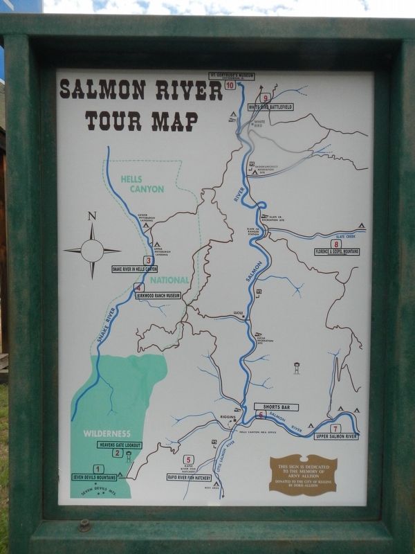
4. Salmon River Tour Map
Credits. This page was last revised on June 28, 2018. It was originally submitted on June 28, 2018, by Barry Swackhamer of Brentwood, California. This page has been viewed 1,084 times since then and 71 times this year. Photos: 1, 2, 3, 4. submitted on June 28, 2018, by Barry Swackhamer of Brentwood, California.
