Yeni in İzmir in Konak, Turkey — West Asia or Southeast Europe
The Ancient City of Smyrna
English Text:
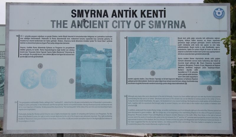
The geographer and traveller Strabo, writing in the 1st century B.C., stated that the city was constructed by two of Alexander's commanders, Antigonus and Lysimachus. In the Hellenistic and Roman periods, thanks to its perfect location, the city developed quickly and became one of the most important of Anatolia. Strabo praised the city as being "the most beautiful" of the cities of his own time and mentions that it had a regular plan (a grid plan).
Particularly during the Roman period Smyrna was a highly-developed city capable of competing with Ephesus and Pergamon. For the cities of the Roman Empire, the right to build a temple dedicated to the cult of the Emperor was extremely important. This right (conferring the title of "Neocorus") was given to Smyrna three times. Coins of the city (4) and certain inscriptions found in the Agora (5) bear witness to this prestigious situation.
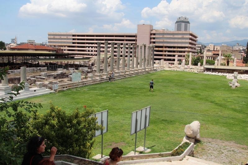
Although very many cities were abandoned at the end of Antiquity, Smyrna has been settled right up to our own day thanks to its position commanding the bay and to its harbor. Structures and traces of the ancient city can be followed at various points in the center of Izmir. Today the inner citadel (Kadifekale), the agora, the bouleuterium (city council building), the theatre and a small section of the fortification walls, together with the aqueducts that brought water to ancient Smyrna, can still be seen in the modern city or under or between later structures (3).
In addition, underneath the modern Kemer bridge, an earlier one that was used from Antiquity right up to the end of the Ottoman period has been discovered in good condition. (6) This bridge was at the beginning of the road linking Smyrna to the cities of Pergamum (modern Bergama), Phocaea (modern Foça) and Magnesia ad Sipylum (modern Manisa) on the north. Other than these, in the light of ancient sources and of the works of travellers who came to the city between the 17th and the 19th centuries and depicted the ancient ruins here, the approximate locations of the stadium, the Zeus Akraius Temple and two city gates (the Magnesian and the Ephesian Gates)are known. It has been suggested that the city had two harbors, one military and the other commercial. The main harbor is accepted to have been located at the place of the modern Kemeralti neighborhood. (3).
Erected by Izmir Chamber of Commerce.
Topics. This historical marker is listed in these topic lists: Parks & Recreational Areas • Settlements & Settlers.
Location. 38° 25.111′ N, 27° 8.314′ E. Marker is in İzmir
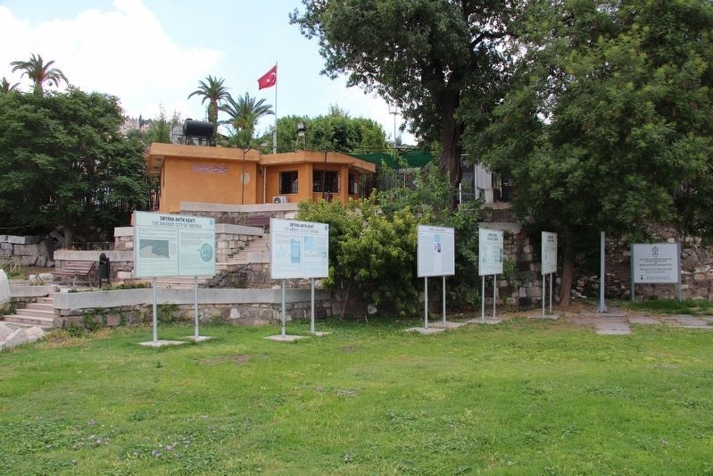
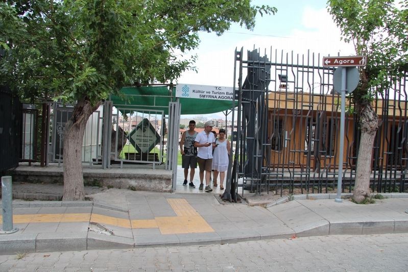
, in Konak. It is in Yeni. Marker can be reached from Tarik Sari Sokağı just east of Eşrefpaşa Cd., on the left when traveling east. This marker is situated in the Smyrna archaeological park, which is in a business/residential neighborhood. This particular marker is just inside the park, from the main entrance, and at the base of the entrance stairway, on the left, and is part of a cluster of markers. Touch for map. Marker is in this post office area: İzmir 35240, Turkey. Touch for directions.
Other nearby markers. At least 8 other markers are within walking distance of this marker. A different marker also named The Ancient City of Smyrna (here, next to this marker); The Agora of Smyrna (here, next to this marker); a different marker also named The Agora of Smyrna (here, next to this marker); The West Portico (a few steps from this marker); Neocorus of the Cult of the Emperor at Smyrna (within shouting distance of this marker); Honorary Inscription (within shouting distance of this marker); Water Channels (within shouting distance of this marker); The Basement of the West Portico (within shouting distance of this marker). Touch for a list and map of all markers in İzmir.
Credits. This page was last revised on February 13, 2023. It was originally submitted on June 28, 2018, by Dale K. Benington of Toledo, Ohio. This page has been viewed 378 times since then and 40 times this year. Photos: 1, 2, 3, 4, 5, 6. submitted on June 29, 2018, by Dale K. Benington of Toledo, Ohio.
