Daingerfield in Morris County, Texas — The American South (West South Central)
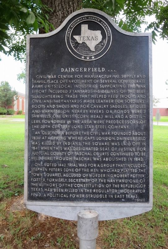
Daingerfield, C. S. A.
An "old" town before the Civil War. Founded about 1830 at a spring where Capt. London Daingerfield was killed by Indians. The square was laid off in 1841 when this was designated seat of justice for judicial county of Paschal. Courts continued to be held here, though Paschal was abolished in 1842.
One noted 1842 trial was for a group that included Stephen Peters (one of the men who had platted the town square), accused of murdering Robert Potter. Potter, formerly secretary of the navy and one of the authors of the Constitution of the Republic of Texas, had been killed in the Regulator-Moderator Feud, a political power struggle in East Texas.
Erected 1964 by State Historical Survey Committee. (Marker Number 7847.)
Topics. This historical marker is listed in these topic lists: Settlements & Settlers • War, US Civil. A significant historical year for this entry is 1830.
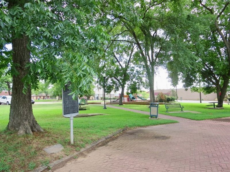
Location. 33° 1.94′ N, 94° 43.476′ W. Marker is in Daingerfield, Texas, in Morris County. Marker can be reached from West Scurry Street east of North Frazier Street, on the right when traveling east. Located within Daingerfield City Park. Touch for map. Marker is at or near this postal address: West Scurry Street, Daingerfield TX 75638, United States of America. Touch for directions.
Other nearby markers. At least 8 other markers are within 6 miles of this marker, measured as the crow flies. Morris County (within shouting distance of this marker); Site of Chapel Hill College (approx. 0.2 miles away); Cumberland Presbyterian Church (approx. 0.2 miles away); Site of Hussey & Logan's Mill and Gin Factory (approx. ¼ mile away); Rev. Nathan S. Johnson (approx. ¼ mile away); Veteran of the American Revolution James Thompson (approx. ¼ mile away); Caddo Trace (approx. 2.6 miles away); Chalybeate Springs (approx. 5.9 miles away). Touch for a list and map of all markers in Daingerfield.
Additional keywords. Daingerfield, C. S. A.
Credits. This page was last revised on January 25, 2021. It was originally submitted on June 29, 2018, by Mark Hilton of Montgomery, Alabama. This page has been viewed 440 times since then and 43 times this year. Photos: 1, 2. submitted on June 29, 2018, by Mark Hilton of Montgomery, Alabama.

