Rodney in Jefferson County, Mississippi — The American South (East South Central)
History of Rodney - Her Fall
Windsor Battlefield Tour
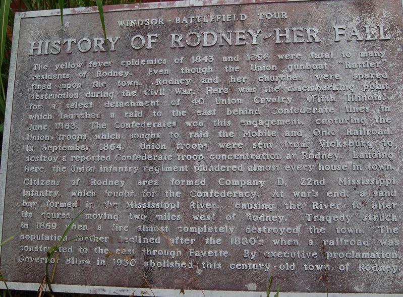
The yellow tever epldemics of 1843 and 1898 were fatal to many residents of Rodney. Even though the Union gunboat "Rattler" fired upon the town, Rodney and her churches were spared destruction during the Civil War. Here was the disembarking point for a select detachment of 40 Union Cavalry (Fifth Illinois), which launched a raid to the east behind Confederate lines in June 1863. The Confederates won this engagement, capturing the Union troops which sought to raid the Mobile and Ohio Railroad. In September 1864, Union troops were sent from Vicksburg to destroy a reported Confederate troop concentration at Rodney. Landing here, the Union infantry regiment plundered almost every house in town. Citizens of Rodney area formed Company D, 22nd Mississippi Infantry, which fought for the Confederacy. At war''s end a sand bar formed in the Mississippi River causing the River to alter its course, moving two miles west of Rodney. Tragedy struck in 1869 when a fire almost completely destroyed the town. The population further declined after the 1880''s when a railroad was constructed to the east through Fayette. By executive proclamation Governor Bilbo in 1930 abolished this century-old town of Rodney.
Topics. This historical marker is listed in these topic lists: Settlements & Settlers • War, US Civil. A significant historical month for this entry is June 1863.
Location. 31° 51.765′ N, 91° 11.991′ W. Marker is in Rodney, Mississippi, in Jefferson County. Marker is on Muddy Bayou Road north of Rodney Road, on the right when traveling north. Touch for map. Marker is in this post office area: Lorman MS 39096, United States of America. Touch for directions.
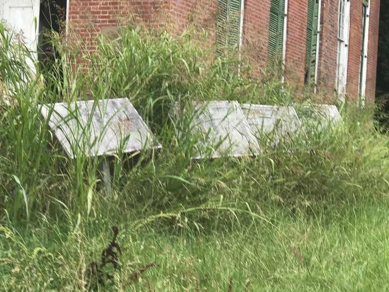
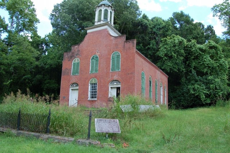
Other nearby markers. At least 8 other markers are within walking distance of this marker. History of Rodney - Her Rise (here, next to this marker); Rodney Presbyterian Church (here, next to this marker); Old Town of Rodney - Layout (here, next to this marker); Old Rodney Presbyterian Church (here, next to this marker); a different marker also named Old Rodney Presbyterian Church (a few steps from this marker); Dr. Rush Nutt (1781-1837) (within shouting distance of this marker); Old Town of Rodney - Structures (within shouting distance of this marker); Old Town of Rodney (within shouting distance of this marker). Touch for a list and map of all markers in Rodney.
Credits. This page was last revised on June 30, 2018. It was originally submitted on June 30, 2018, by Cajun Scrambler of Assumption, Louisiana. This page has been viewed 375 times since then and 66 times this year. Photos: 1, 2, 3. submitted on June 30, 2018.


