Near White Bird in Idaho County, Idaho — The American West (Mountains)
June 17, 1877
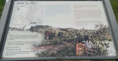
Unlike the trained white soldier, who is guided by the bugle call, the Indian goes into battle on his own mind’s guidance ...
In this charge against the soldiers’ right flank,waláytic, sarpsis ilppilp, and tipyahlahnah kapskaps were to start in the charge, all of the three wearing full-length red blanket coats of same make and pattern. These coats were to show their contempt, their fun-making of the soldiers, to draw their rifle shots, of which they were not afraid.
Other warriors follow after them riding singly, and many hanging on the side of their horses, shielded thus from the soldiers’ sight ... --- weyáwaci.ćkan (John Miles)
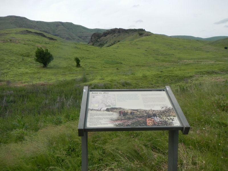
As you walk the 1.5-mile-round-trip, moderately strenuous trail you will begin to understand how the terrain played such a important role in determining the outcome of his battle.
For you safety carry plenty of water and wear a hat of protection from the summer sun. Stay on the trail and keep pets on a leash at all times.
Elevation gain: 250 feet
Erected by National Park Service, Nez Perce National Park.
Topics and series. This historical marker is listed in this topic list: Wars, US Indian. In addition, it is included in the The Nez Perce Trail series list. A significant historical date for this entry is June 17, 1877.
Location. 45° 46.896′ N, 116° 16.536′ W. Marker is near White Bird, Idaho, in Idaho County. Marker can be reached from Old Highway 95 near Two Moon Trail, on the left when traveling north. Touch for map. Marker is in this post office area: White Bird ID 83554, United States of America. Touch for directions.
Other nearby markers. At least 8 other markers are within 12 miles of this marker, measured as the crow flies. Truce or War (about 500 feet away, measured in a direct line); Nez Perce War (approx. 1½ miles away); White Bird Battlefield (approx. 1½ miles away); Salmon River (approx. 4.4 miles away); White Bird Grade (approx. 4.6 miles away); Camas Prairie (approx. 6.9 miles away); Gathering at Tipahxlee’whum (Tepahlewam) (approx. 9.4 miles away); Salmon River Canyon (approx. 11.6 miles away). Touch for a list and map of all markers in White Bird.
Also see . . . Battle of White Bird Canyon. ... U.S. Government launched a campaign to move all the Nez Perce onto the new, smaller reservation. The Nez Perce leaders who had not signed the treaty and who lived off the new reservation ignored the orders. Foremost among them was Old Joseph, who led a band that lived in Oregon's Wallowa Valley. Young Joseph, who succeeded his father as chief, hoped that a peaceful solution could be found, for he did not wish to go to war or leave his home. (Submitted on June 30, 2018, by Barry Swackhamer of Brentwood, California.)
Credits. This page was last revised on June 30, 2018. It was originally submitted on June 30, 2018, by Barry Swackhamer of Brentwood, California. This page has been viewed 210 times since then and 11 times this year. Photos: 1, 2. submitted on June 30, 2018, by Barry Swackhamer of Brentwood, California.

