White Bird in Idaho County, Idaho — The American West (Mountains)
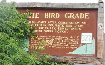
White Bird Grade
Photographed by Barry Swackhamer, May 5, 2018
1. White Bird Grade Marker
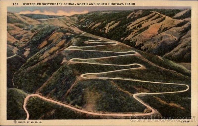
Many tortuous curves and switchbacks -which, if placed together, made 37 complete circles - let the old road climb 2900 feet in 14 miles. Gaining an elevation of 4429 at its summit, that route represented a significant engineering and construction achievement. This new grade did not replace it until 1975.
Erected by Idaho Department of Transportation. (Marker Number 327.)
Topics and series. This historical marker is listed in this topic list: Roads & Vehicles. In addition, it is included in the Idaho State Historical Society series list.
Location. 45° 48.12′ N, 116° 17.222′ W. Marker is in White Bird, Idaho, in Idaho County. It is on U.S. 95 at milepost 227 near Old White Bird Hill Road, on the right when traveling north. Touch for map. Marker is in this post office area: White Bird ID 83554, United States of America. Touch for directions.

Regionally, this marker is in North Idaho — Idaho’s Panhandle. It is also in the American
this page online
Other nearby markers. At least 8 other markers are within 12 miles of this marker, measured as the crow flies: Nez Perce War (a few steps from this marker); White Bird Battlefield (a few steps from this marker); Truce or War (approx. 1½ miles away); June 17, 1877 (approx. 1½ miles away); Salmon River (approx. 3.6 miles away); Camas Prairie (approx. 5.8 miles away); Gathering at Tipahxlee’whum (Tepahlewam) (approx. 8.1 miles away); The ADVANCE Steam Traction Engine (approx. 11.7 miles away). Touch for a list and map of all markers in White Bird.
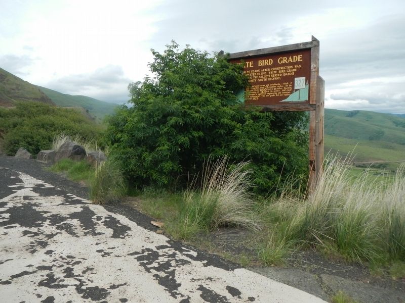
More about this marker. This marker is located at a Rest Area near the White Bird summit.
Photographed by Barry Swackhamer, May 5, 2018
2. White Bird Grade Marker
Photographed by Vintage Postcard
3. Old White Bird Hill Road
Credits. This page was last revised on February 2, 2026. It was originally submitted on June 30, 2018, by Barry Swackhamer of Brentwood, California. This page has been viewed 2,721 times since then and 356 times this year. Photos: 1, 2, 3. submitted on June 30, 2018, by Barry Swackhamer of Brentwood, California.
