Near Bonham in Fannin County, Texas — The American South (West South Central)
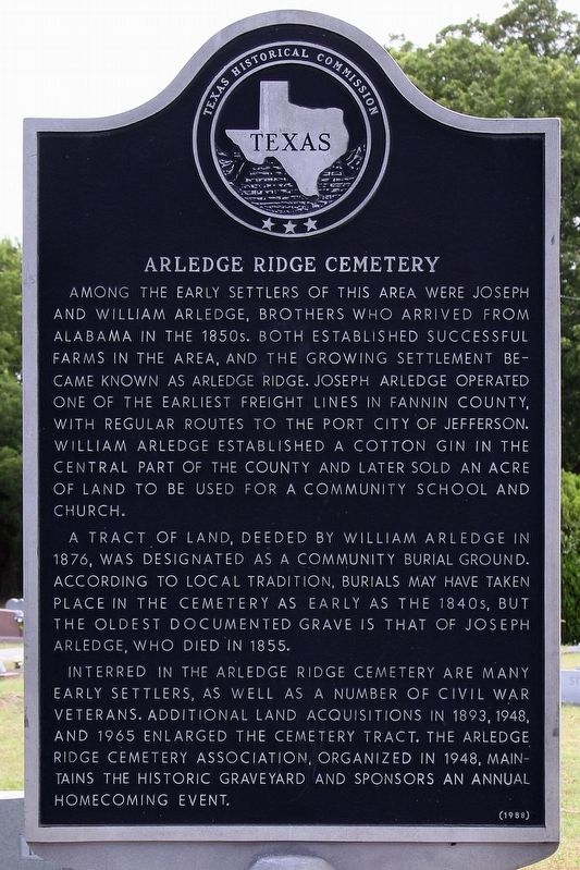
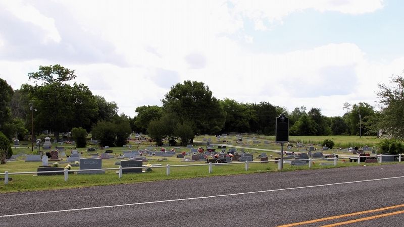
Arledge Ridge Cemetery
A tract of land, deeded by William Arledge in 1876, was designated as a community burial ground. According to local tradition, burials may have taken place in the cemetery as early as the 1840s, but the oldest documented grave is that of Joseph Arledge who died in 1855.
Interred in the Arledge Ridge Cemetery are many early settlers, as well as a number of Civil War veterans. Additional land acquisitions in 1893, 1948, and 1965 enlarged the cemetery tract. The Arledge Ridge Cemetery Association, organized in 1948, maintains the historic graveyard and sponsors an annual homecoming event.
Erected 1988 by Texas Historical Commission. (Marker Number 8835.)
Topics. This historical marker is listed in this topic list: Cemeteries & Burial Sites. A significant historical year for this entry is 1876.
Location. 33° 31.084′ N, 96° 10.235′ W. Marker is near Bonham, Texas, in Fannin County. Marker is at the intersection of State Highway 78 and County Road 4246, on the left when traveling south on State Highway 78. Touch for map. Marker is in this post office area: Bonham TX 75418, United States of America. Touch for directions.
Other nearby markers. At least 8 other markers are within 5 miles of this marker, measured as the crow flies. Powder Creek Bridge (approx. 3.8 miles away); Texas and Pacific Depot (approx. 3.9 miles away); Bonham Cotton Mill (approx. 3.9 miles away); Bonham Daily Favorite (approx. 4.1 miles away); John Wesley Hardin (approx. 4.1 miles away); Hotel Alexander (approx. 4.1 miles away); Dr. Penwell's Ordeal (approx. 4.1 miles away); Old Home of Pioneer Banker A.B. Scarborough (approx. 4.1 miles away). Touch for a list and map of all markers in Bonham.
Credits. This page was last revised on July 3, 2018. It was originally submitted on June 30, 2018, by Larry D. Moore of Del Valle, Texas. This page has been viewed 222 times since then and 19 times this year. Photos: 1, 2. submitted on June 30, 2018, by Larry D. Moore of Del Valle, Texas. • Andrew Ruppenstein was the editor who published this page.

