Near Firestone in Weld County, Colorado — The American Mountains (Southwest)
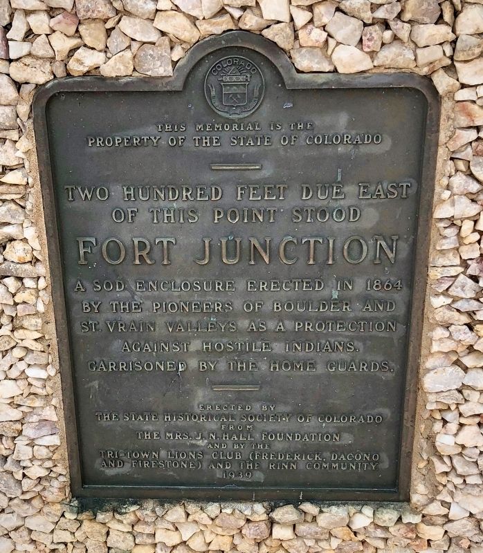
Fort Junction
This memorial is the
property of the state of Colorado.
—
Two Hundred feet due east
of this point stood
Fort Junction
a sod enclosure erected in 1864
by the pioneers of Boulder and
St. Vrain Valleys as a protection
against hostile Indians.
Garrisoned by the Home Guards.
Erected 1939 by the State Historical Society of Colorado from the Mrs. J.N. Hall Foundation and by the Tri-Town Lions Club (Frederick, Dacono and Firestone) and the Runn Commuity.
Topics and series. This historical marker is listed in these topic lists: Forts and Castles • Native Americans • Settlements & Settlers. In addition, it is included in the Colorado - History Colorado series list. A significant historical year for this entry is 1864.
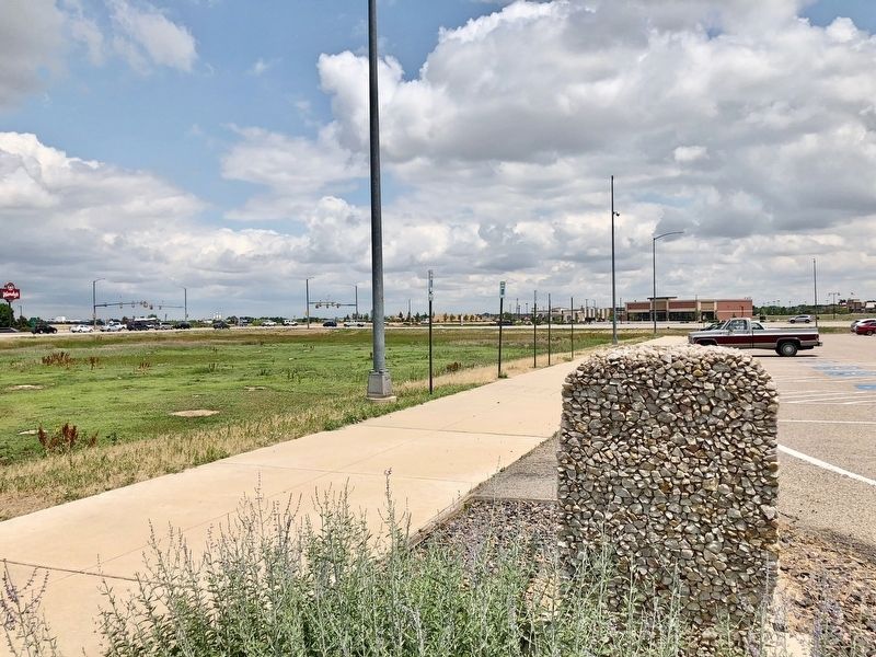
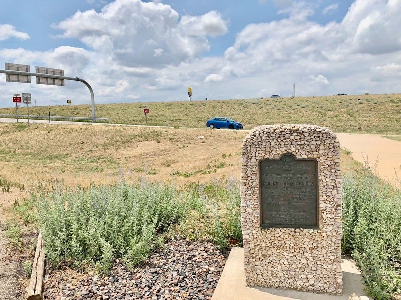
Location. 40° 9.577′ N, 104° 58.641′ W. Marker is near Firestone, Colorado, in Weld County. Marker can be reached from Interstate 25 Frontage Road south of State Road 119. Located at the Longmont RTD Park & Ride parking lot. Touch for map. Marker is in this post office area: Longmont CO 80504, United States of America. Touch for directions.
Other nearby markers. At least 8 other markers are within 13 miles of this marker, measured as the crow flies. Site of Burlington, Colorado Territory (approx. 6.7 miles away); Fort Vasquez / Fort Vasquez Country (approx. 8.6 miles away); Fort Vasquez (approx. 8.6 miles away); a different marker also named Fort Vasquez (approx. 8.6 miles away); Fort Vasquez Trading Post (approx. 8.6 miles away); Fort Lupton (approx. 9.8 miles away); Columbine Mine / Coal Field Country (approx. 11.2 miles away); Kettle Dry Goods Store (approx. 12.6 miles away).
Regarding Fort Junction. The Lower Boulder St. Vrain Valley Home Guard, a volunteer militia organization during the war, constructed a sod fortress called Fort Junction between 1863 and 1865 during the Colorado War, also known as the Indian War. Today, St. Vrain State Park occupies the land where Fort Junction was built.
Credits. This page was last revised on June 30, 2018. It was originally submitted on June 30, 2018, by Mark Hilton of Montgomery, Alabama. This page has been viewed 688 times since then and 73 times this year. Photos: 1, 2, 3. submitted on June 30, 2018, by Mark Hilton of Montgomery, Alabama.


